
10 routes · Hiking
A popular trail following an old railroad grade with riverside views.
Hiking Easy

The Rend Trail is one of New River's most popular hikes as it follows an old railroad grade with great "views of Dunloup Creek, the New River, and the historic community of Thurmond," according to the NPS. The park considers it an excellent choice for all ages and abilities, "and a great start for beginning mountain bikers," since the trail is easy, wide, and smooth.
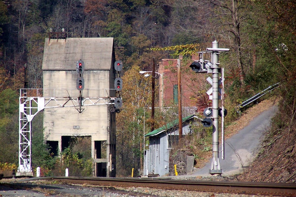
Per the park, this hike is mostly level and "crosses five railroad trestles and a short set of stairs that detour around an old rock slide." The trail "was originally constructed in 1906, as a railroad line to haul coal from the mines in Minden to the main line tracks in Thurmond," but was abandoned in the early 1970s and is now frequented by hikers, bikers, and runners.
There are two main trailheads for the Rend Trail, Thurmond, and Minden. This version is mapped from the Thurmond Trailhead along WV Route 25. Neither restrooms nor water are available, though the Minden Trailhead is just a quick drive from Oak Hill.
Easy
Walking along a well-kept trail that’s mostly flat. No obstacles are present.

The trail contains some obstacles such as outcroppings and rock which could cause injury.
Away from help but easily accessed.
10 routes · Hiking