876 m away
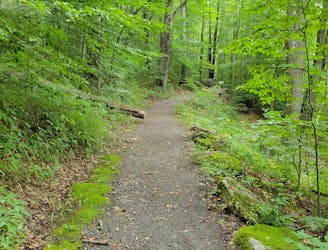
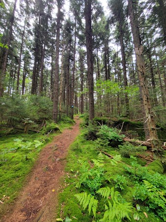
Red Spruce Knob Trail
A short hike through lush stands of red spruce atop the highest point on Highland Scenic Highway.
Moderate Hiking
- Distance
- 3.2 km
- Ascent
- 121 m
- Descent
- 121 m
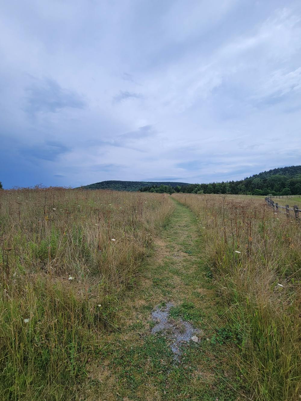
A relaxing hike through open meadows ending at a small wetland and beaver pond.
Hiking Moderate

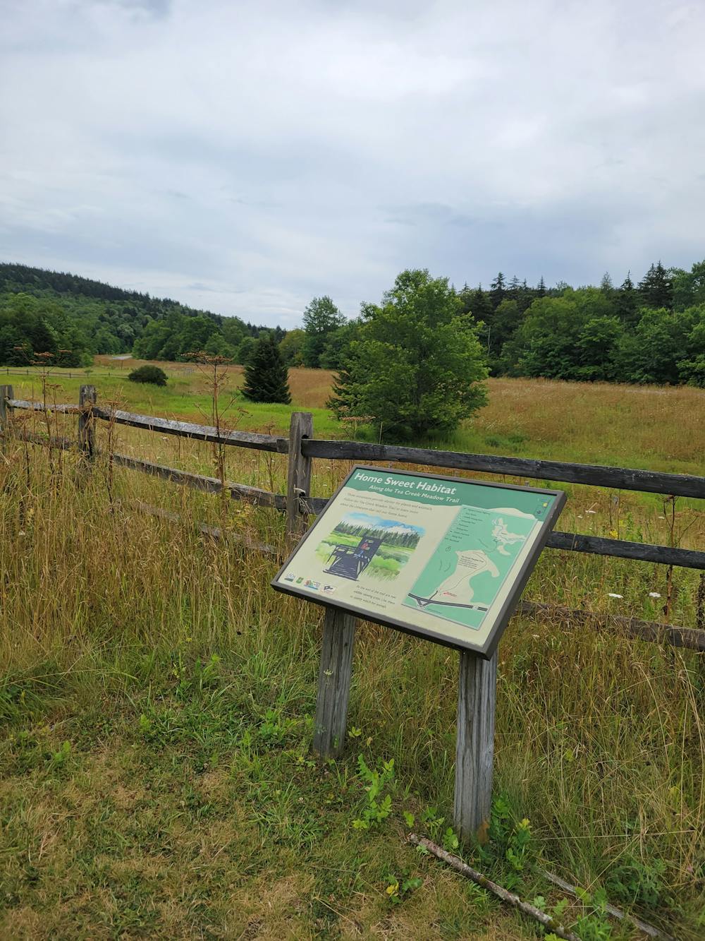
Just across the road from the Red Spruce Knob Trail, this easy hike wanders through a meadow with excellent views, then wanders down to a boardwalk alongside a wetland area and beaver dam. Benches are available so you can stop to soak in the view, and waysides along the trail highlight the unique flora and fauna along the way.
Just below Tea Creek Mountain itself, the trailhead is a small gravel lot that can hold 5 - 10 vehicles. Overflow parking, including space for larger vehicles and trailers, is available across the road at the Little Laurel Overlook. A small picnic area is also available and offers a nice view into the valley, with Red Spruce Knob (4,750') towering over it to the left.
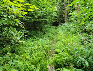
For those looking for a longer adventure, this trailhead is a gateway to nearly 44-miles of backcountry trail managed by Monongahela National Forest. Mostly built in the early 1900s, many trails follow original logging railroads, though the ties and rails were removed long ago. Throughout the area, the forest service notes a mixture of "maple, beech, birch, oak, hickory, red spruce, and pine, with a scattered dense understory of rhododendron." The summer wildflowers are also quite stunning, and wildlife can often be seen in the area.
Moderate
Hiking along trails with some uneven terrain and small hills. Small rocks and roots may be present.

The path is on completely flat land and potential injury is limited to falling over.
Close to help in case of emergency.
876 m away
A short hike through lush stands of red spruce atop the highest point on Highland Scenic Highway.
Moderate Hiking
3.2 km away
A short interpretative trail showcasing a series of unique boxwork rock formations.
Easy Hiking
5 routes · Hiking