81 m away
Makwa -> Hatchery Lollipop
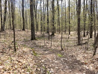
One of the highest-acclaimed trails in the massive CAMBA network!
Moderate Trail Running
- Distance
- 47 km
- Ascent
- 696 m
- Descent
- 697 m

A long distance, remote trail run in the heart of the CAMBA network.
Trail Running Difficult

"The CAMBA system has become recognized as the Singletrack Capital of the Midwest, with the most extensive system of interconnected singletrack east of the Mississippi,” according to the CAMBA Trail Guide. With over 300 miles of trail in this expansive system, it’s tough to choose a favorite trail… but the Seeley Pass, Flow Mama, and Ojibwe trails are high on the list.
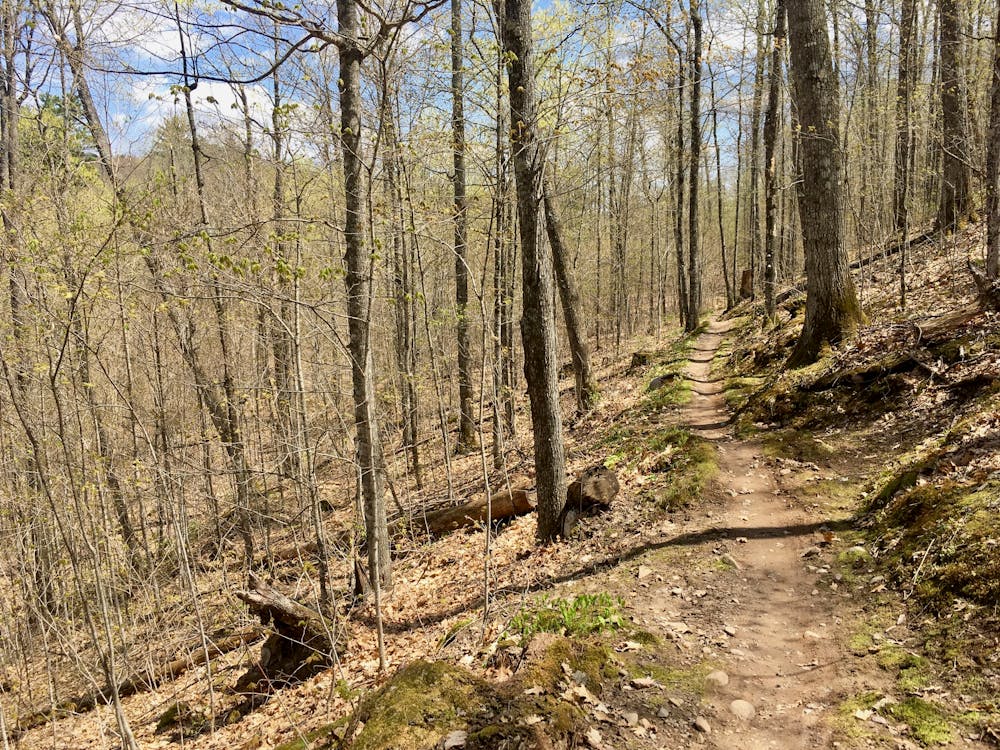
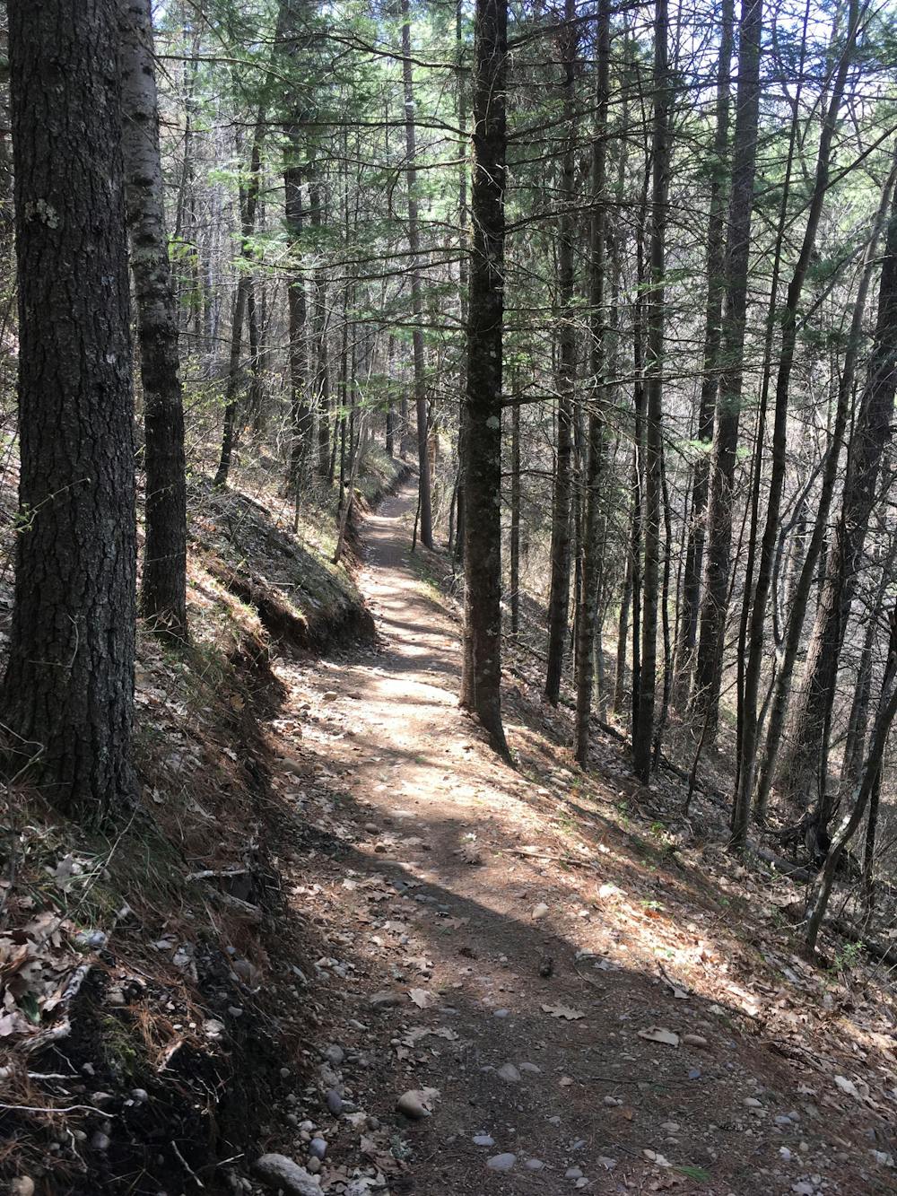
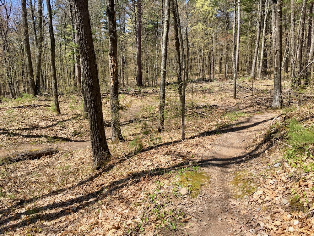
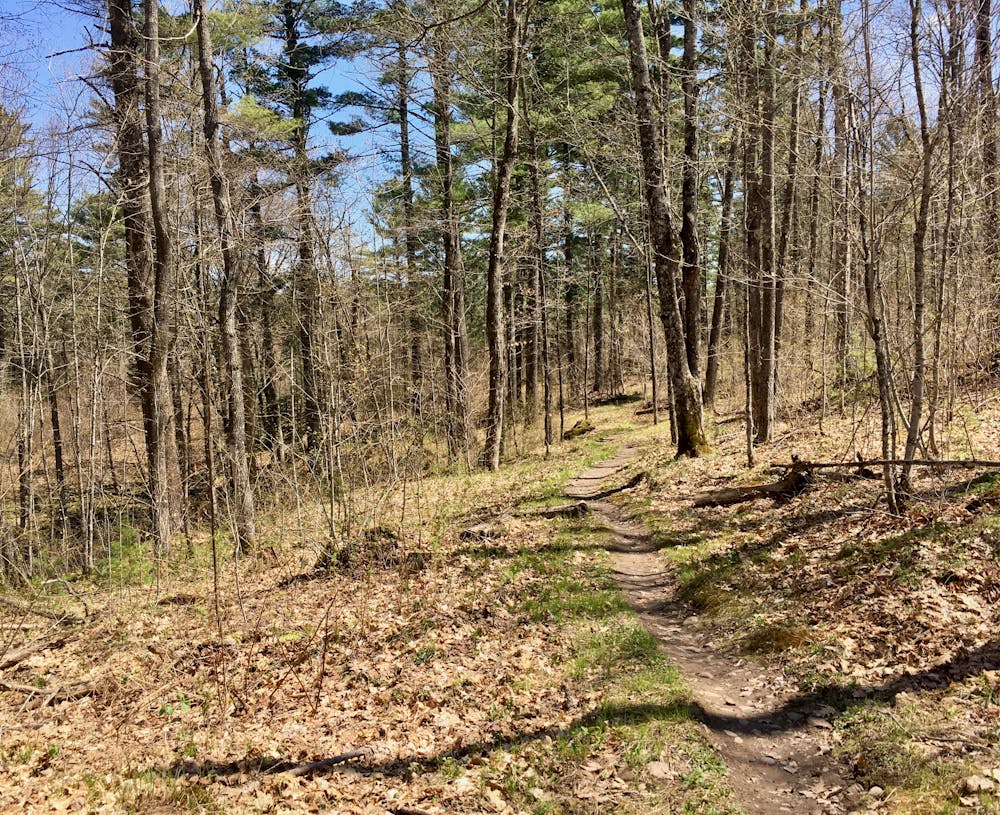
Seeley Pass provides flowy, serpentine singletrack that rolls through the remote Wisconsin Northwoods. Twisting between tight trees, the trail is always bench cut beautifully into the hillside or ripping downhill through a series of delightful, low berms.
Flow Mama, however, is the true highlight. This aptly-named trail is filled with fantastic flowy, bermed sections of singletrack—over 100 berms, in fact. While these berms were designed for bikes, they can provide a delightful kinesthetic and dynamic running experience for trail runners as well.
After running Seeley Pass to Flow Mama, tack on the Ojibwe trail for a rewarding loop before you begin your pedal back. Part of the Cable cluster of trails, Ojibwe provides runners with “deep woods singletrack with frequent punchy climbs,” according to CAMBA. The trail features a “great blend of old school and more contemporary style trail.”
While of course, it is possible to connect to a variety of other trails in the network and just keep on running, the lollipop mapped here provides as much, or more, distance than most runners will want to cover.. If you want to speed up the return trip, you can skip the singletrack and instead run the gravel roads. Use the posted trail maps to navigate this alternate route.
Finally, you could also setup a point-to-point shuttle to reduce the overall mileage and repetition. The options are simply endless here!
Difficult
81 m away

One of the highest-acclaimed trails in the massive CAMBA network!
Moderate Trail Running