49 m away
Teton Canyon
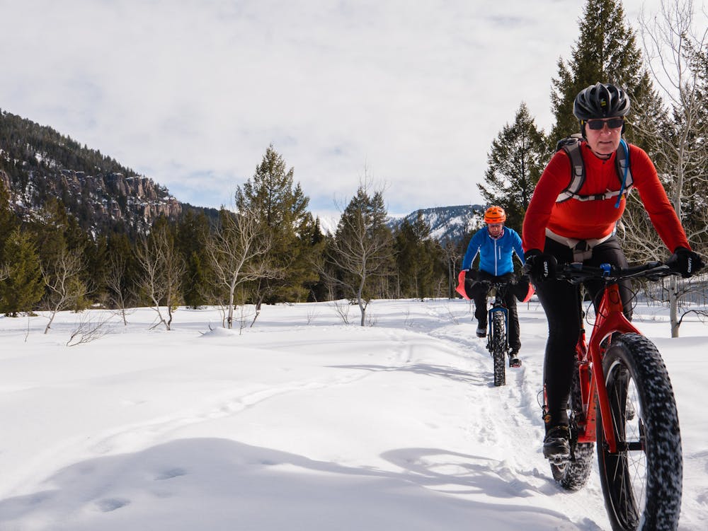
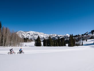
A wide, groomed, gentle road grade that begs to be ridden.
Easy Fat biking
- Distance
- 12 km
- Ascent
- 121 m
- Descent
- 121 m
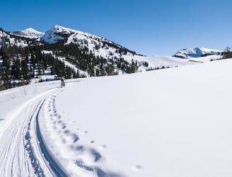
A scenic, snowshoer-goomed winter fat bike route.
Fat biking Easy

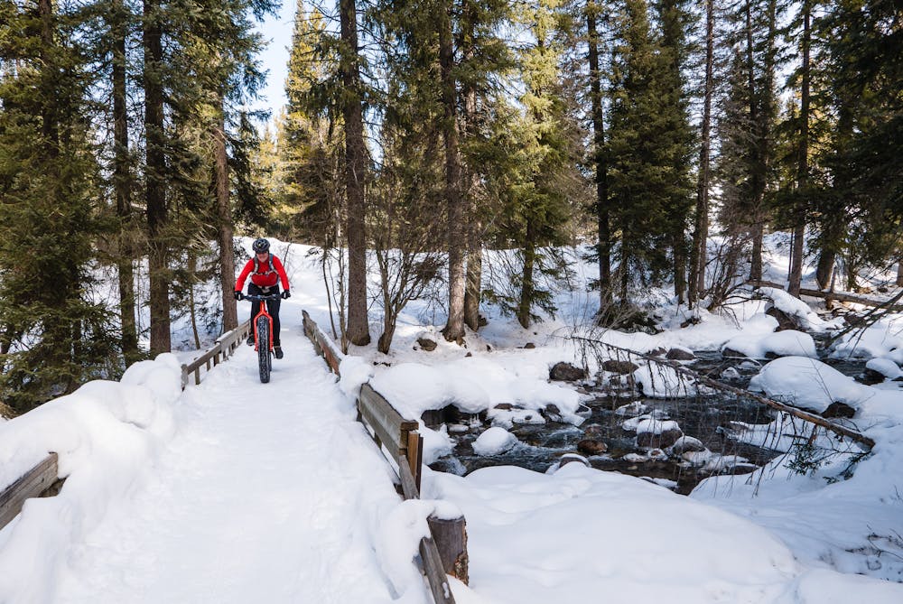
The Sheep Bridge Trail is a short, but sweet, snowshoe-packed singletrack that (surprise!) crosses a narrow bridge before undulating through the woods.
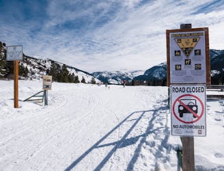
This route is one of several options in the valley, outside of Driggs. Parking is at the very busy Mill Creek Trailhead on Teton Canyon Road.
The Sheep Bridge ride is completely dependent on the number of snowshoers that have been out tromping down the trail. Since it is “groomed” by snowshoers, expect a very narrow tread, which is fun for practicing fat bike handling skills. After crossing the wooden bridge at the beginning of the ride, it is possible to add on the Dead Cow Trail... IF it is snowshoe-packed. Some of the adventure in riding these trails lies in the uncertainty of the “grooming”!
The first mile of the Sheep Bridge Trail is typically well-packed, then expect the trail to get a bit narrower as it continues on. Often, the trail is only boot-packed further on, which requires negotiating some deep boot-postholes. Looking into those postholes will give a rider a clear idea of just how deep the snow is—often at least two feet on the packed trail. No worries, though: nice, soft, fat tires allows one to ride right over the holes.
This short trail is only a bit over two miles long, but might be shorter if the snowshoe-groomers turned around before the end. Sometimes there are only ski tracks, which require very skilled riding indeed. This becomes the very definition of “single”track, as in single-tire width, and can be a fun challenge for a determined fat biker!
The beauty of this short trail is... the beauty. The trail meanders south along Teton Creek on mellow terrain, which is appreciated for a couple of reasons. One reason is the mellow grade allows for ample gawking. The second reason is staying on the ever-narrowing trail. This area receives a LOT of snow, so inadvertently leaving the trail results in a thigh-deep dab!
Easy

The path is on completely flat land and potential injury is limited to falling over.
Close to help in case of emergency.
49 m away
A wide, groomed, gentle road grade that begs to be ridden.
Easy Fat biking
4 km away
A beautiful introduction to riding groomed singletrack.
Moderate Fat biking
4 km away
15K of wide, impeccably-groomed trails.
Moderate Fat biking