9 routes · Ski Touring
A beautiful, steep, 1000 feet chute
Ski Touring Extreme

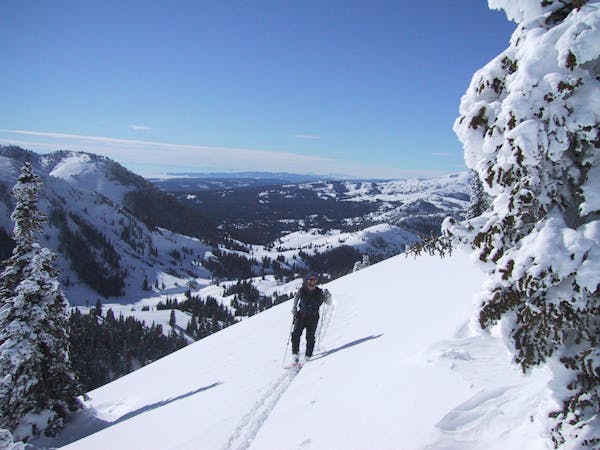
The North Couloir of Ampitheater Mountain is one of the most sought after lines in the area. It is very visible on the drive in and out of town. The chute itself is about 1000 feet long through towering rock walls. It is 50 degrees+ near the top, and about 15 feet wide at the tightest. There is another 500 feet of great skiing out the apron below, and good tree and gully skiing all the way back to Silver Gate. Park at the information sign pull out just east of Silver Gate and head south into the large drainage. Head up about a mile until it forks, take the East fork and keep going about 3/4 of a mile further then head West through mellow trees to get underneath the chute. Skin to the bottom, then boot the rest. If you're lucky, you will be able to make it to the very top, and summit Amphitheater as well.
Extreme
Extreme skiing terrain above 45 degrees. These routes are reserved for experienced experts.

As well as the slope itself, there are some obstacles (such as rock outcrops) which could aggravate injury.

In the high mountains or remote conditions, all individuals must be completely autonomous in every situation.
9 routes · Ski Touring