9 routes · Ski Touring
A 2000 feet tree gully
Ski Touring Difficult

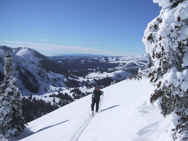
The Submarine trees are a true delight and hold some of the most sustained vertical South of Cooke City. One can find perfectly spaced White Barks as well as wide open gullies. 2000 feet of mid 30's degree terrain sure can be fun. This zone is directly west facing so it can hold some variable snow during a freeze/thaw cycle. Head south of Cooke City, following the Republic creek trail. After about 1.5 miles past the trailhead, cross the creek and start your climb up the slope. The trees down low are decently tight, but as you ascend, they widen out for really easy skinning. Make note of the alleys between the trees as you head up; you may want to find these zones on your way down. Strip skins at the top and either descend through the trees, or pick a wide open gully. Keep in mind that these gullies are terrain traps, and pick your line accordingly. Ski back out on the Republic creek trail and back to Cooke.
Difficult
Serious gradient of 30-38 degrees where a real risk of slipping exists.

As well as the slope itself, there are some obstacles (such as rock outcrops) which could aggravate injury.

In the high mountains or remote conditions, all individuals must be completely autonomous in every situation.
9 routes · Ski Touring