351 m away
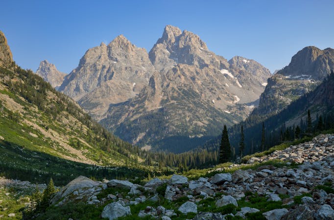
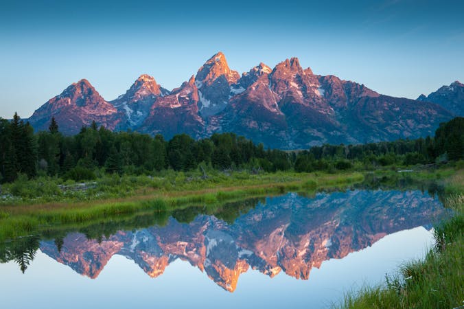
Paintbrush and Cascade Canyon Loop
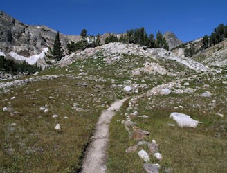
An epic loop through two vibrant canyons with spectacular views from Paintbrush Divide.
Difficult Trail Running
- Distance
- 30 km
- Ascent
- 1.3 km
- Descent
- 1.3 km
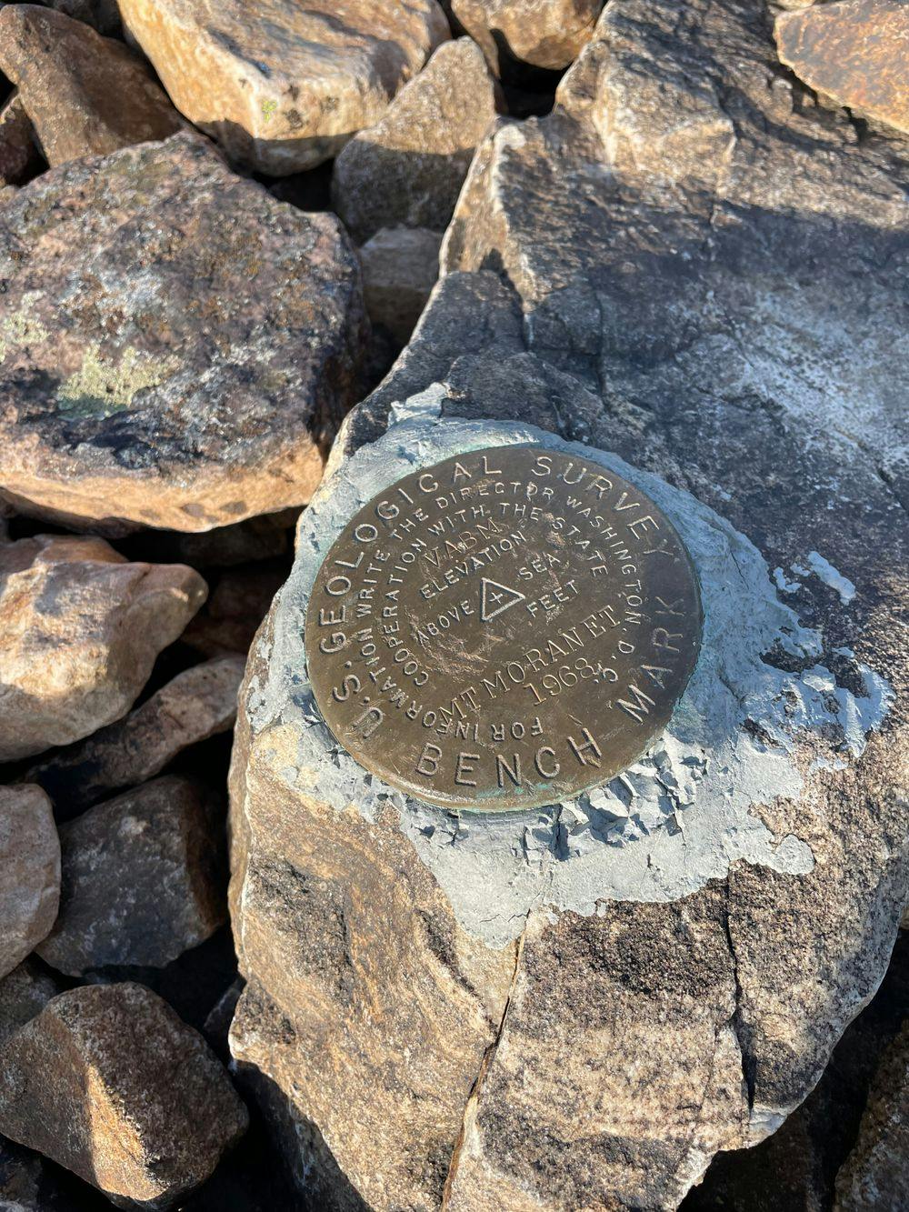
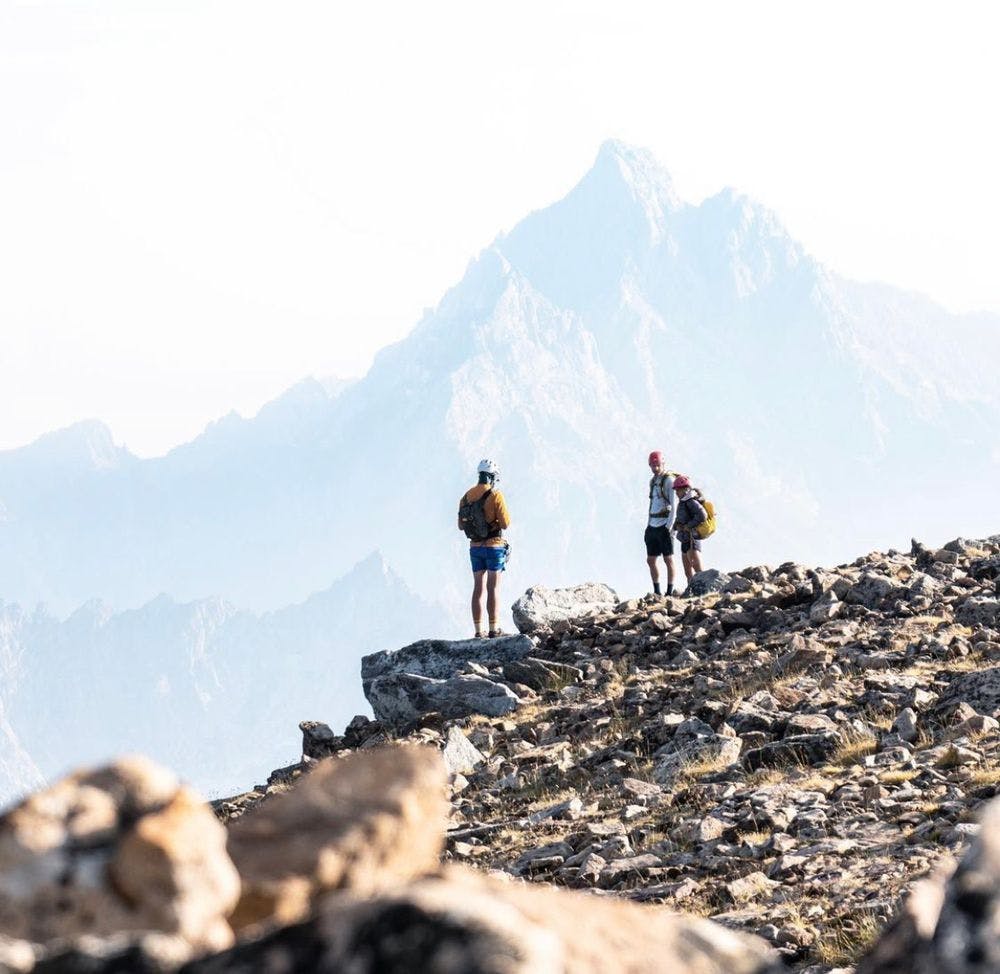
5.5 route up Moran, accessed via Leigh Lake paddle
Trail Running Difficult

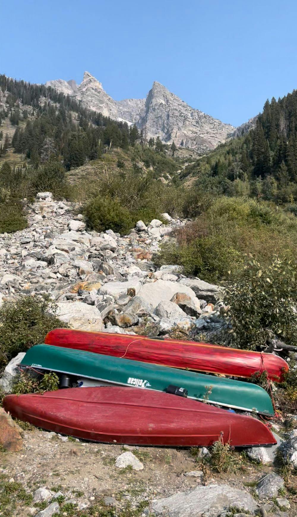
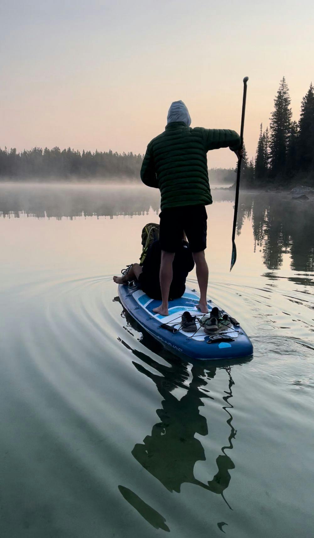
Start at the Leigh Lake trailhead. Paddle String Lake, then portage to Leigh Lake. Paddle to the Falling Ice Glacier drainage. (You can also hike, but it's a tricky bushwhack from the Patrol Cabin.)
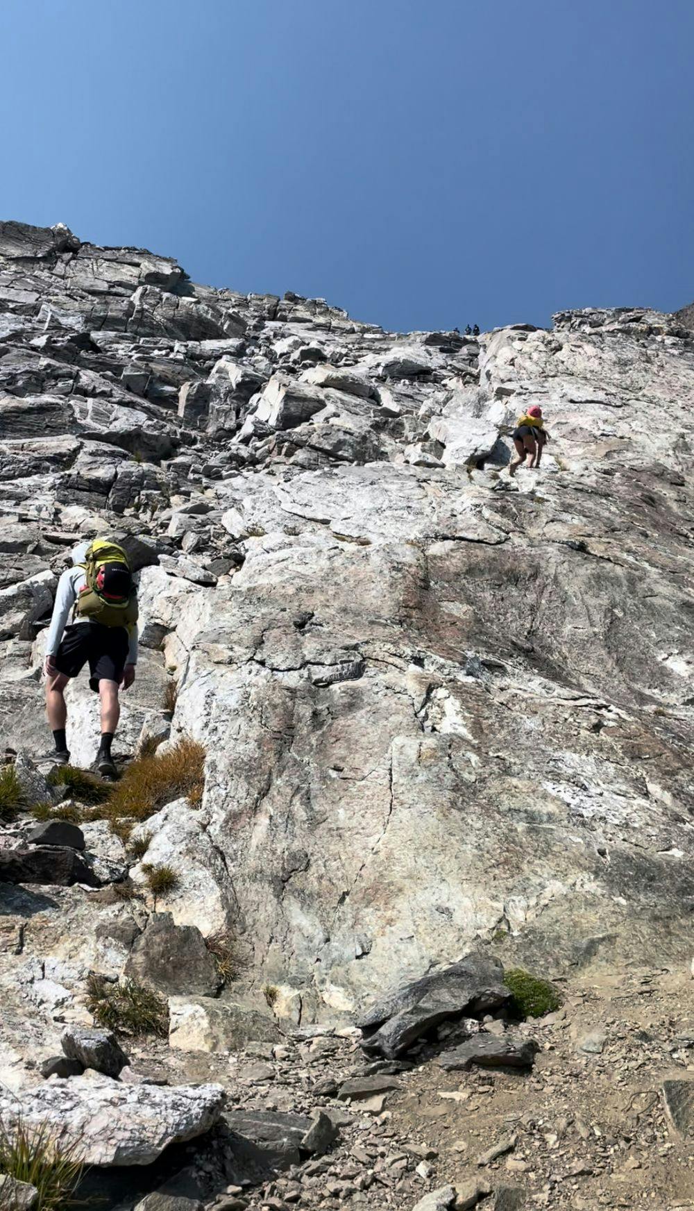
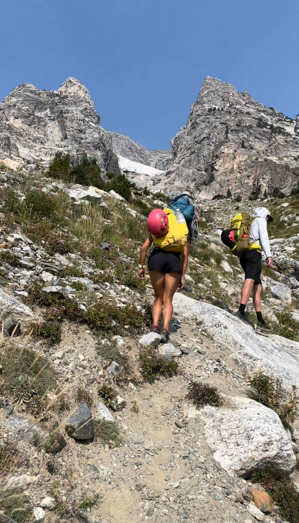
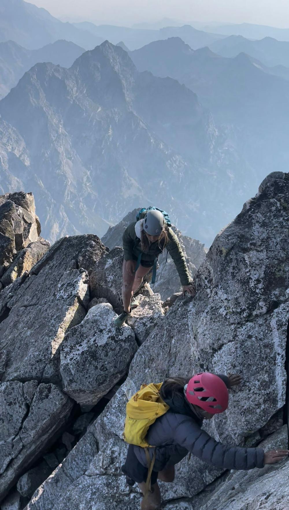
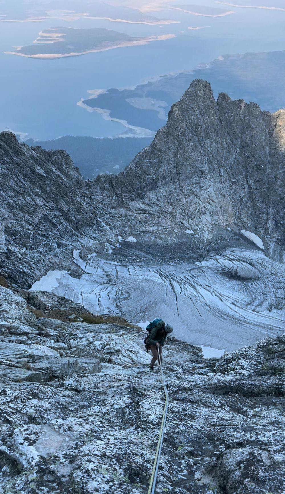
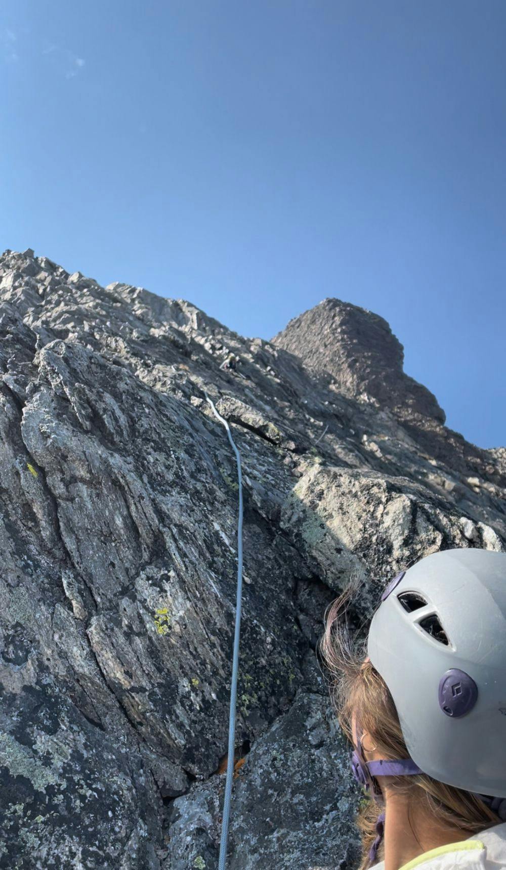
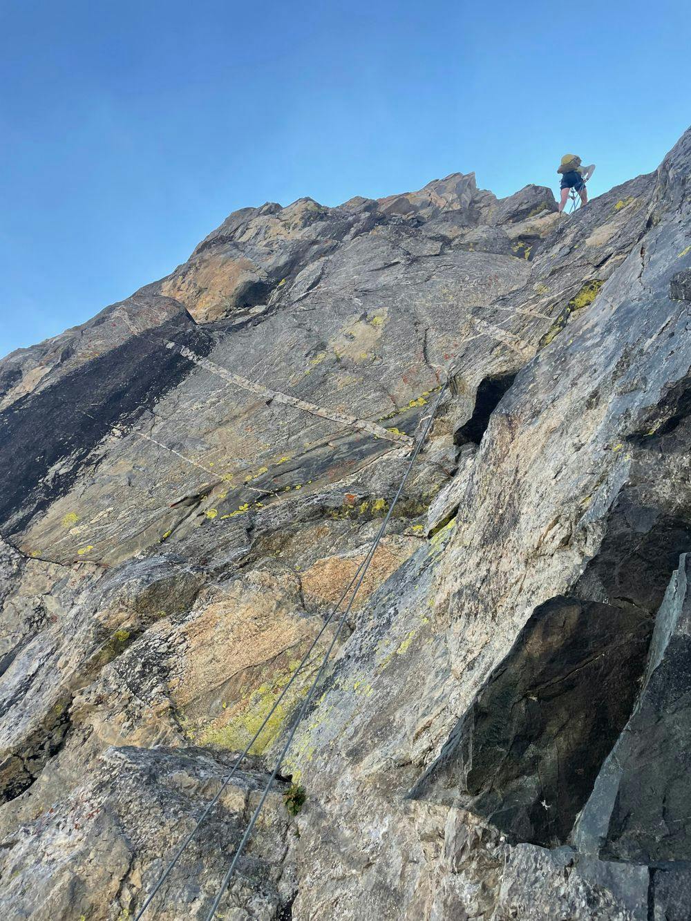
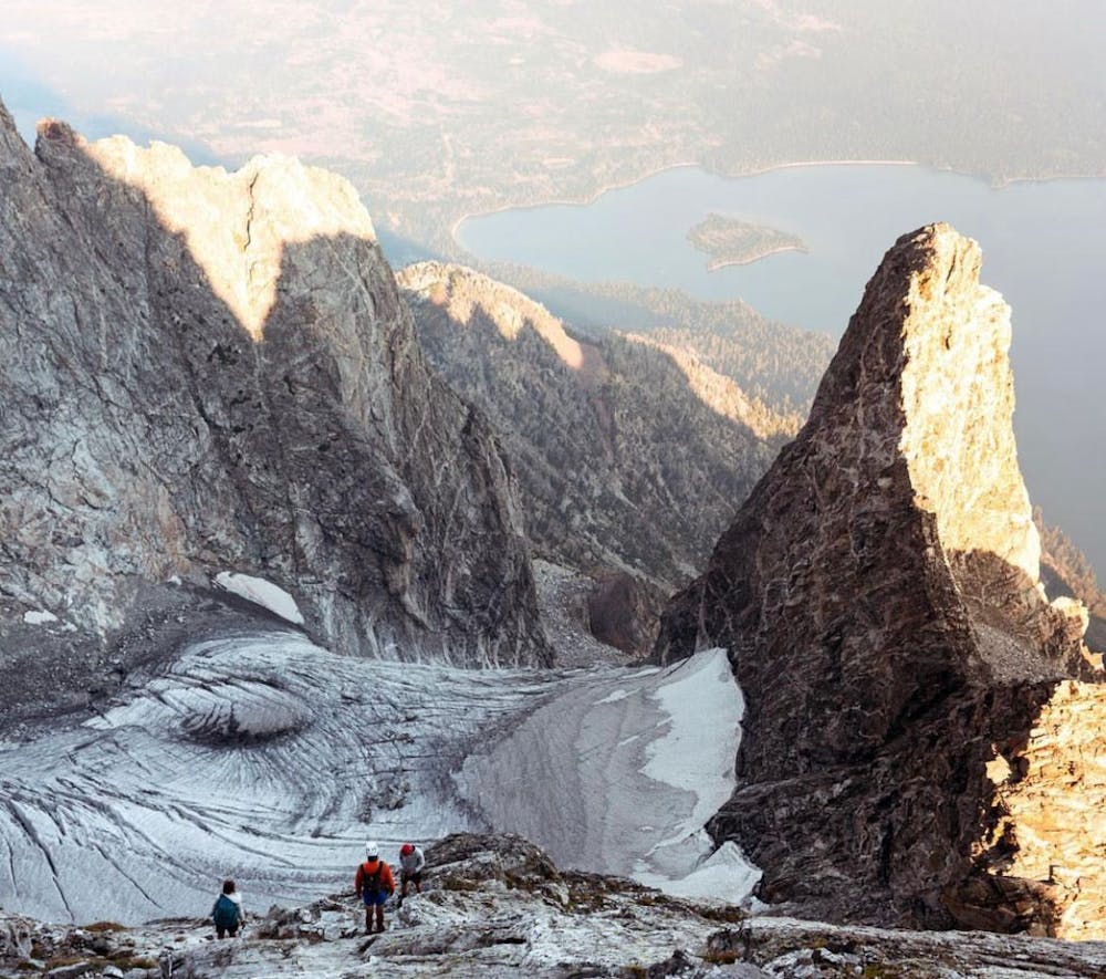
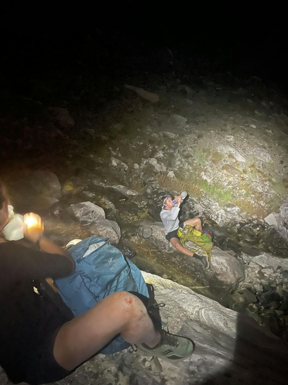
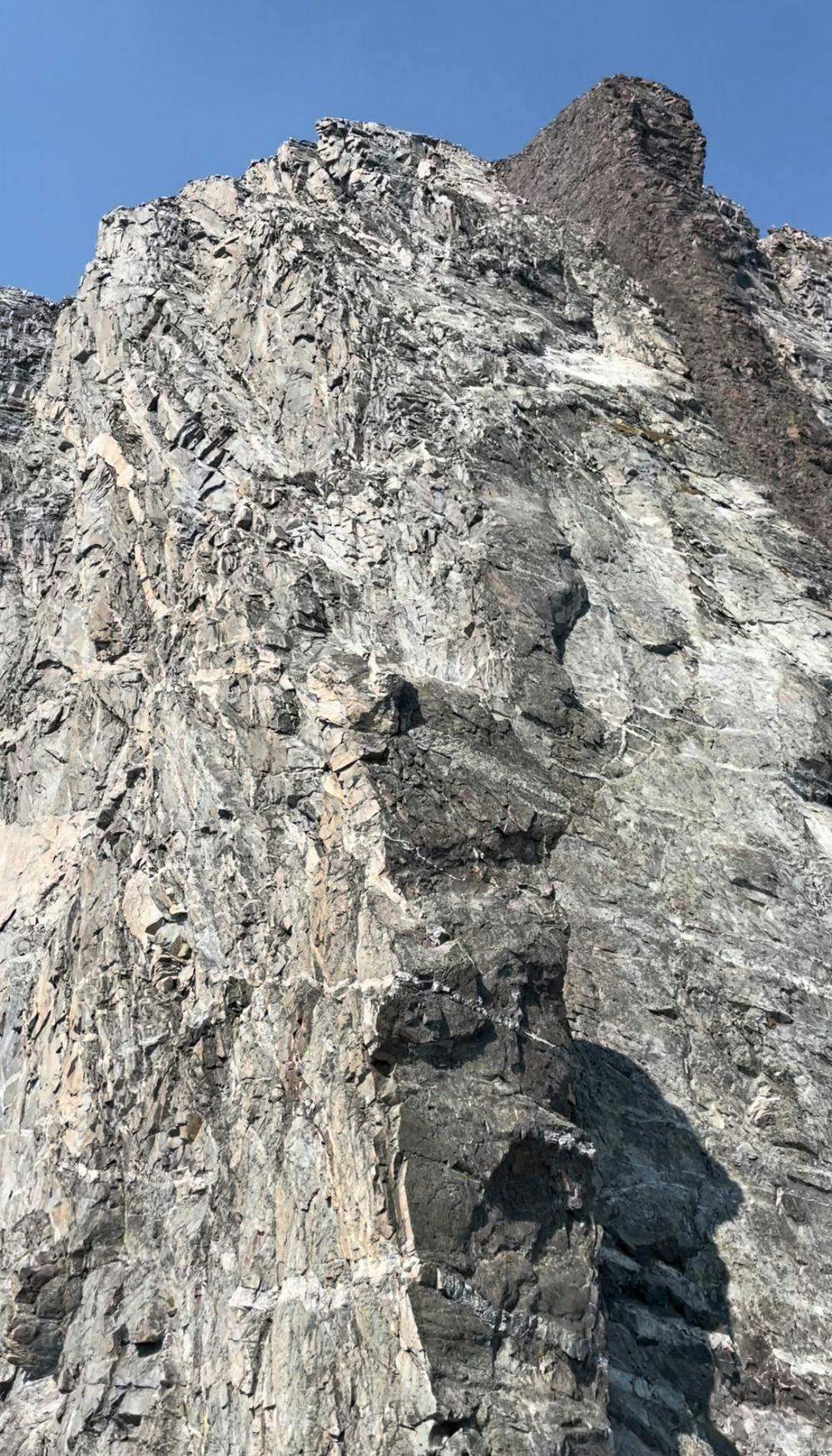
Ascend boulder / talus along the runoff. ~Halfway up, turn left and follow a trail to Drizzlepuss. Rappel (or downclimb) to the start of CMC Face.
There are many variations up CMC Face, from low class 5 on the south ridge to mid-5s closer to the Black Dike. Rappel (or downclimb) back to Drizzlepuss, upclimb being the crux. Reverse course from the Drizzlepuss summit.
We used two 60m ropes and a mix of cams / nuts. You can find a number of maintained anchors along CMC Face and one on Drizzlepuss.
Full trip report: https://www.grizzliesandavalanches.com/cmc-face/
Difficult

Some trail sections have exposed ledges or steep ascents/descents where falling could cause serious injury.

Away from help but easily accessed.
351 m away
An epic loop through two vibrant canyons with spectacular views from Paintbrush Divide.
Difficult Trail Running
351 m away
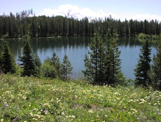
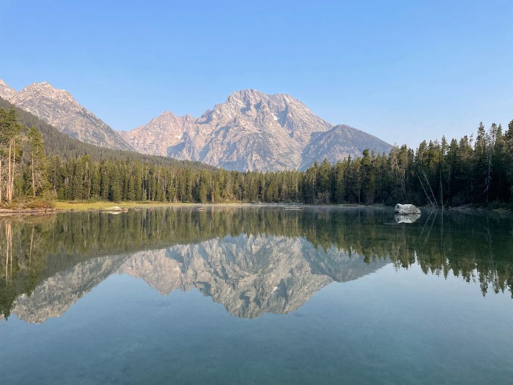
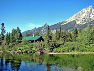
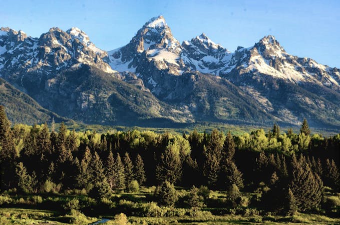
Run the shores of stunning glacial lakes along the eastern slopes of Mount Moran, the 4th highest peak in the Tetons.
Easy Trail Running
3.9 km away
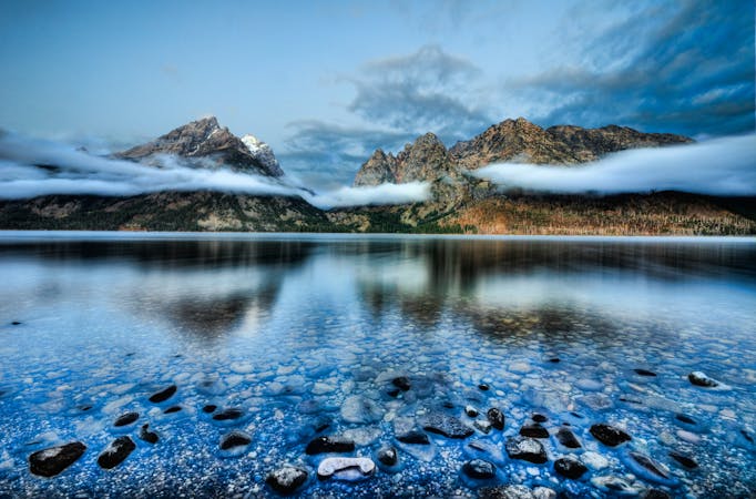
A easy lakeside run with astounding views of the Tetons.
Easy Trail Running
5.7 km away
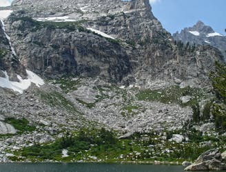
Explore three stunning sub-alpine lakes nestled beneath the highest peaks in the Tetons.
Difficult Trail Running
6 routes · Trail Running
4 routes · Trail Running
20 routes · Trail Running
11 routes · Hiking · Trail Running