4.7 km away
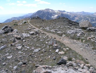
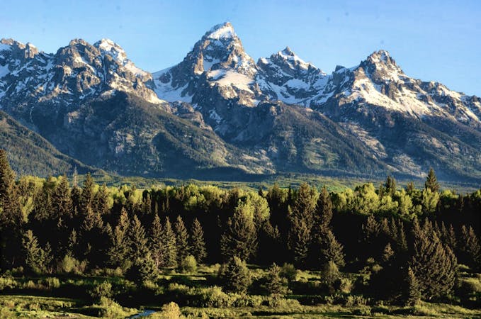
Amphitheater and Delta Lakes
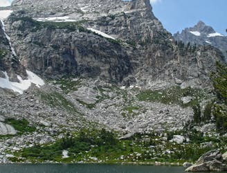
Explore three stunning sub-alpine lakes nestled beneath the highest peaks in the Tetons.
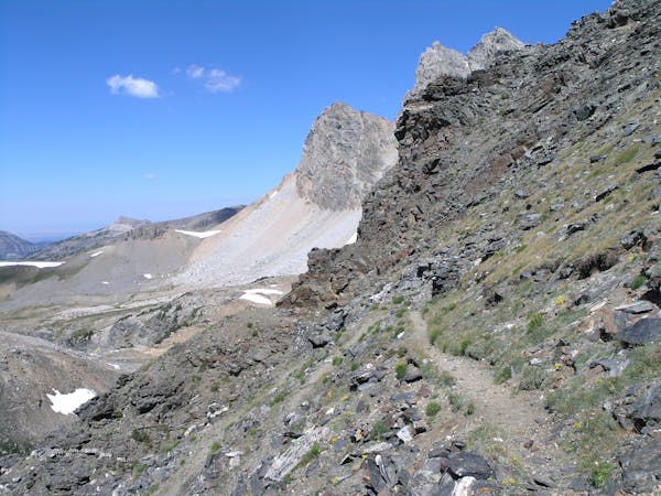
Difficult Trail Running
- Distance
- 16 km
- Ascent
- 1.1 km
- Descent
- 1.1 km
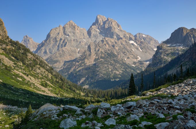
An intermediate trail run visiting two of the six glacial lakes below the Tetons.
Trail Running Moderate

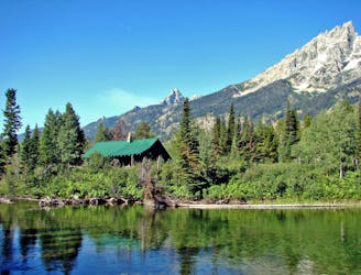
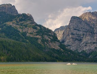
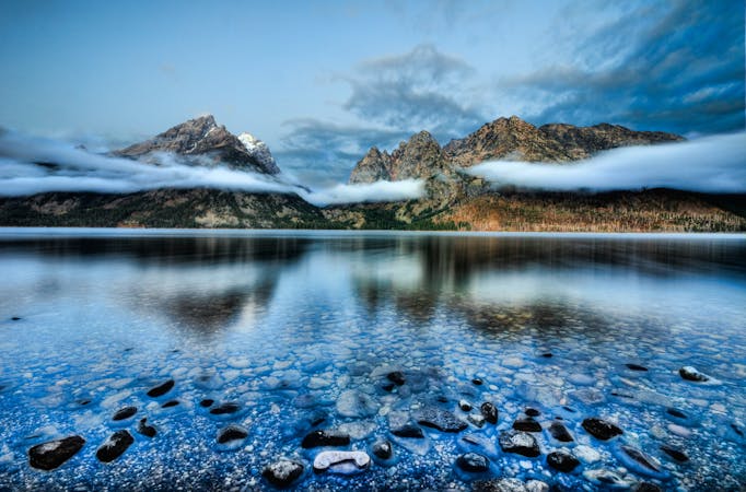
Beginning at the mouth of Avalanche Canyon, this run explores two of six glacial lakes resting at the foot of the Teton Mountains. As mapped, the route first follows Taggart Lake Trail, then spurs onto Bradley Lake Trail, offering even better mountain views from a slightly higher elevation. For a shorter run, skip the Bradley Lake Trail and simply follow the Taggart Lake trail for an easy ~3-mile round trip run.
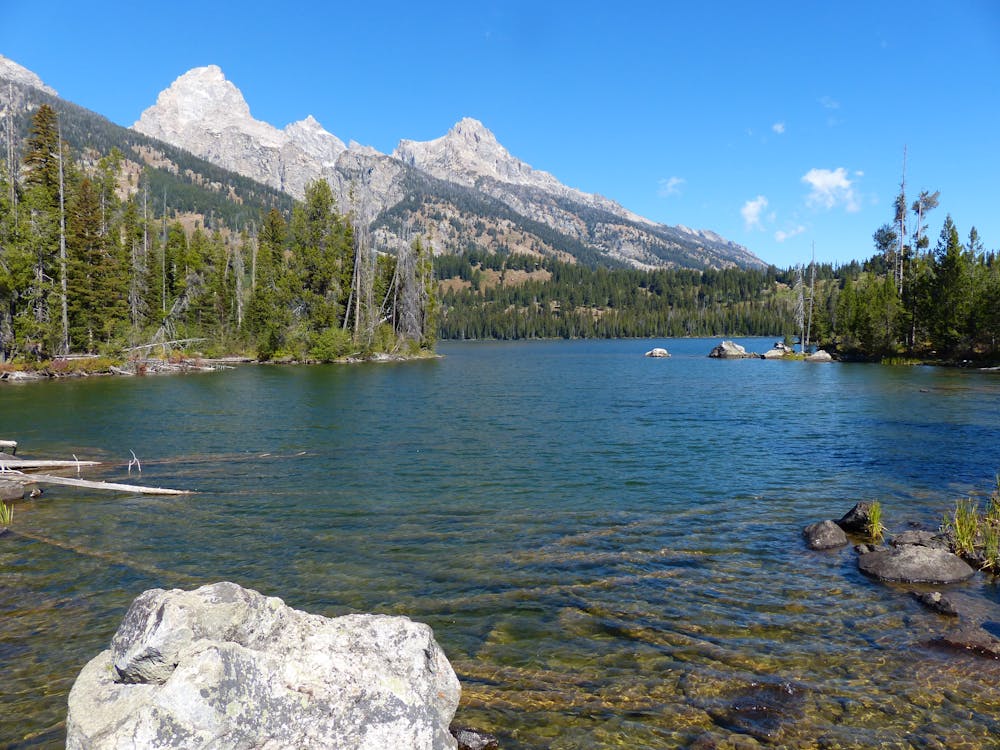
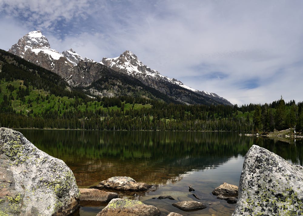
Most lakeside loops in the Tetons are best run counter-clockwise to enjoy the mountain views casting reflections over the lake; however, this one is great in either direction. Overall, this run is easy by most standards, though the addition of Bradley lake (as mapped) includes some elevation gain that may challenge some runners.
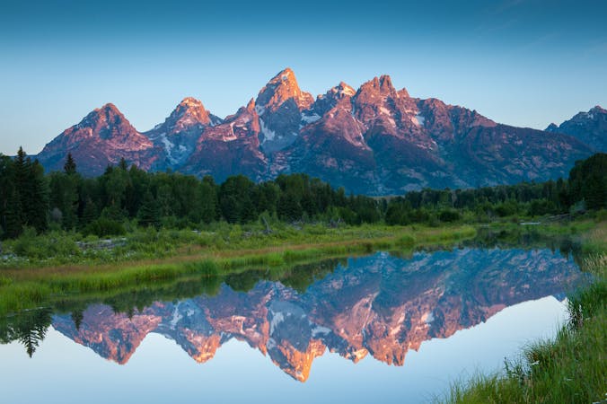
According to TetonHikingTrails.com, "the lake was named for Frank Bradley, the Chief Geologist for the 1872 Hayden Survey Expedition." It's said that two members of the expedition claimed the first ascent of the Grand Teton, but were later found to have only reached a sub-peak known as The Enclosure.
For those further interested in its history, this article cites the importance of the Hayden Geological Survey, referring to it as "the first federally funded, geological survey to explore and further document features in the soon to become Yellowstone National Park." Many consider that expedition a crucial element in the founding of what is now Yellowstone National Park.
Sources: http://www.tetonhikingtrails.com/bradley- https://en.wikipedia.org/wiki/HaydenGeologicalSurveyof1871#Expedition'sinfluenceoncreationofaNationalParklake.htm https://en.wikipedia.org/wiki/TaggartLake https://en.wikipedia.org/wiki/BradleyLake
Moderate

The path is on completely flat land and potential injury is limited to falling over.

Away from help but easily accessed.
4.7 km away
Explore three stunning sub-alpine lakes nestled beneath the highest peaks in the Tetons.
Difficult Trail Running
5.7 km away

A quick run or hike to a vista overlooking Phelps Lake.
Easy Trail Running
5.7 km away
An epic traverse through the heart of the Tetons, best run as a shuttle.
Difficult Trail Running
6.4 km away
A easy lakeside run with astounding views of the Tetons.
Easy Trail Running
8.1 km away
An easy lakeside trail run loaded with mountain views and wildlife.
Easy Trail Running
6 routes · Trail Running
4 routes · Trail Running
7 routes · Trail Running
20 routes · Trail Running
11 routes · Hiking · Trail Running