2.2 km away
Black Canyon Loop
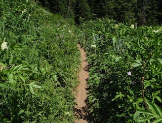
A classic trail running loop or shuttle through Black Canyon.
Difficult Trail Running
- Distance
- 16 km
- Ascent
- 839 m
- Descent
- 839 m

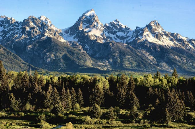
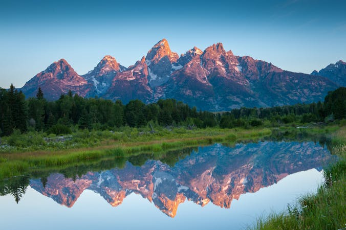
Run beneath jagged peaks and along alpine lakes on this epic trail run through the Teton Mountains.
Trail Running Severe

The Teton Crest Trail is one of the most renowned trail running routes anywhere in the country. It tops the list with the Grand Canyon Rim to Rim to Rim, the Adirondack Great Range, the Presidential Traverse, and of course, the infamous Wonderland Trail. This epic ~40-mile trail run awards views that are nothing short of spectacular as you traverse the spine of the Teton Massif. Stunning alpine lakes, vibrant glaciers, lush views, and short side trips to the summit of Static Peak or Iceflow Lake are common among hikers, though trail runners often forego the side trips for another day.
The traditional route for runners is to begin at Teton Pass, taking Phillips Canyon and Pass Trails to the southern terminus of the Teton Crest Trail located high in the mountains. Some backpackers and trail runners begin at Phelps Lake, Granite Canyon, or even at the top of Rendezvous Mountain—all of which offer their own unique perks. Starting at the top of the Rendezvous Mountain lift is also one of the easiest alternatives since the run then begins at well over 10,000', rather than ~6,500'.
After leaving the crest, the route descends through Paintbrush Canyon then ends at its namesake trailhead between Jenny and Leigh Lakes. This large trailhead is paved and great for larger vehicles including trailers and RV's. The drive to the trailhead in Teton Pass should take less than one hour.
While the fastest known times are documented in under 8 hours, most runners should expect at least 10 hours to complete the route, maybe more. The Forest Service also recommends running in groups of 2 to 3 to help deter encounters with bear and moose in the backcountry. This run is among the most remote traverses in all of the Tetons, so be sure to tell someone of your plan and carry proper emergency gear for the trek. Lights, bear bells, bear spray, locator beacon, whistle, and space blanket are just a few of the emergency items that you should allocate space for in your running pack. If you were to roll an ankle or become otherwise unable to run, you would very likely spend the night on the trail.
This source suggests that hikers will have access to water every 2-3 hours, which should equate to less than an hour between sources for runners. Be sure to filter or treat any water you intend to drink and don't underestimate how much you will consume as the higher elevations. It's recommended to drink as much water as you can each time you stop, that way you're leaving each source hydrated, rather than relying solely on your pack to fuel you.
There is no supply or crew access on the route unless it is hiked in beforehand. Many of the mountains throughout the Tetons are loaded with wild edible berries, but they should never be relied on as a dependable source of food.
For a detailed section-by-section trail guide, check out this guidebook curated by adventurers Jason Weiss and Greg Heil. Heil describes the entire route as "hands-down one of the most spectacular backpacking routes in the world!"
Sources: https://fastestknowntime.com/route/teton-crest-trail-wy https://www.nationalgeographic.com/adventure/destinations/united-states/wyoming/grand-teton-national-park/grand-teton-hike-map/ https://thebigoutside.com/ask-me-backpacking-the-teton-crest-trail/
Severe
2.2 km away

A classic trail running loop or shuttle through Black Canyon.
Difficult Trail Running
4.8 km away
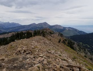
An incredibly steep run from Teton Pass to Taylor Mountain.
Severe Trail Running
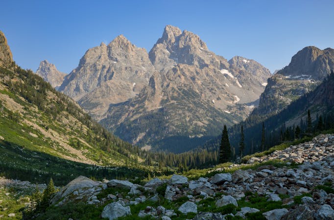
4 routes · Trail Running
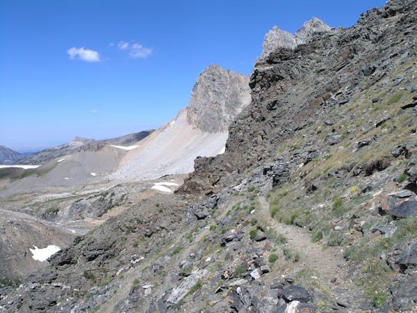
7 routes · Trail Running
20 routes · Trail Running
11 routes · Hiking · Trail Running