Via Alpina

Trail Running Switzerland East to West
Difficult Trail Running
- Distance
- 383 km
- Ascent
- 20 km
- Descent
- 20 km
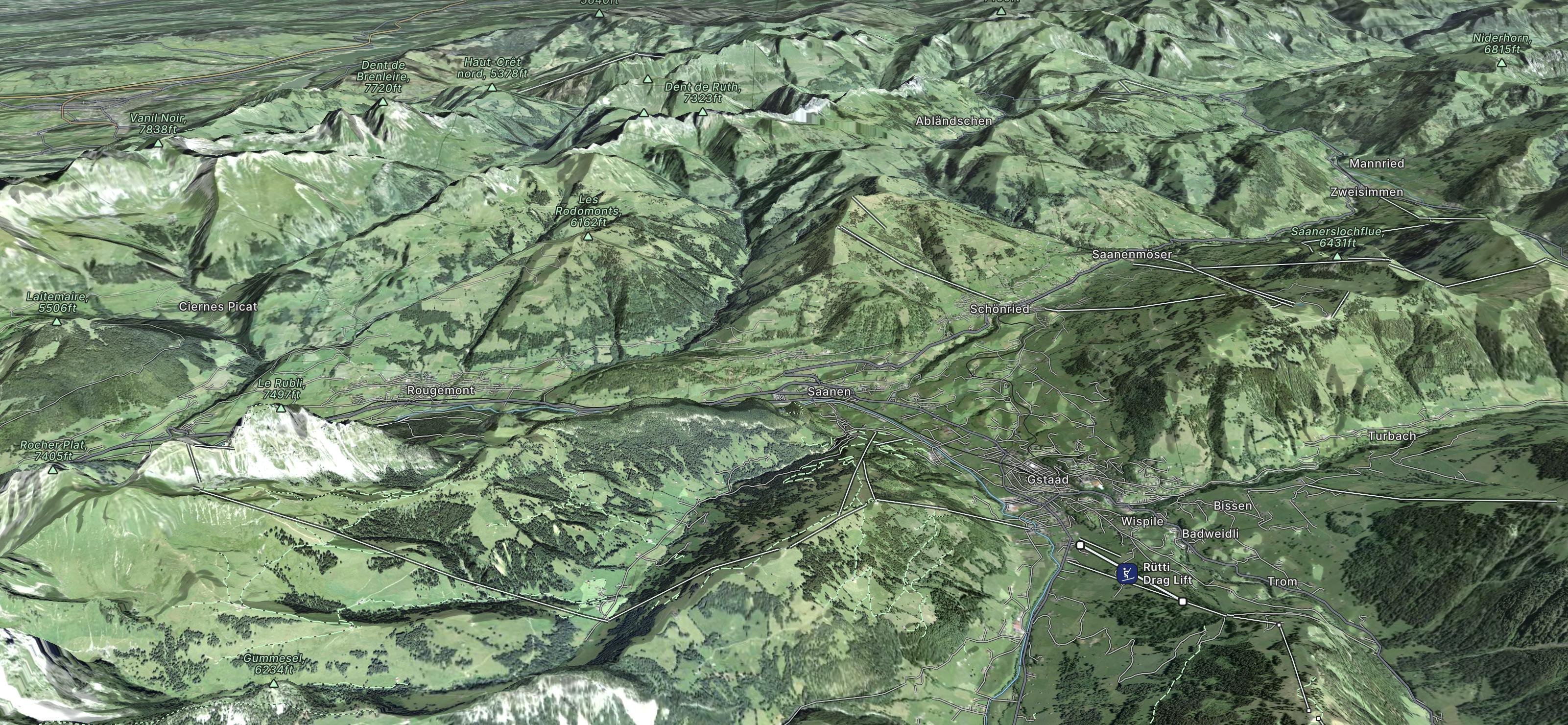
<p>Die Wintersportregion Gstaad ist mit rund 200 Pistenkilometern zwischen 1000 und 3000 Metern Höhe eines der größten Skigebiete der Schweiz – eingebettet in die beeindruckende Alpenwelt des Berner Oberlandes. Mit dem Gletscherskigebiet Glacier 3000 bietet die Region schneesicheres Pistenvergnügen von Ende Oktober bis in den Mai.</p>
Go trail running in Gstaad with curated guides of the best trail runs across the region. With over 3 3D trail maps in FATMAP, you can easily discover and navigate the best trails in Gstaad.
No matter what your next adventure has in store, you can find a guide on FATMAP to help you plan your next epic trip.
Get a top trail running recommendation in Gstaad from one of our 1 guidebooks, or get inspired by the 3 local adventures uploaded by the FATMAP community. Start exploring now!
Trail Running Switzerland East to West
Difficult Trail Running