Martigny-Combe à Chamonix 40km
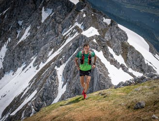
From Martigny-Croix in Switzerland to Chamonix De Martigny-Croix en Suisse à Chamonix
Extreme Trail Running
- Distance
- 39 km
- Ascent
- 2.5 km
- Descent
- 2 km
Explore Balme (Le Tour) with curated guides of the best hiking trails, mountain bike trails, ski routes, and more. With over 39 3D trail maps in FATMAP, you can easily discover and navigate the best trails in Balme (Le Tour).
No matter what your next adventure has in store, you can find a guide on FATMAP to help you plan your next epic trip.
Get a top trail recommendation in Balme (Le Tour) from one of our 14 guidebooks, or get inspired by the 39 local adventures uploaded by the FATMAP community. Start exploring now!
Also in Haute-Savoie, France
From Martigny-Croix in Switzerland to Chamonix De Martigny-Croix en Suisse à Chamonix
Extreme Trail Running
A scenic, easy route that will take you to the edge of the Swiss border
Easy Mountain Biking
Total walking time: 4-5 hours, 1,400m of ascent.
Moderate Hiking
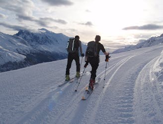
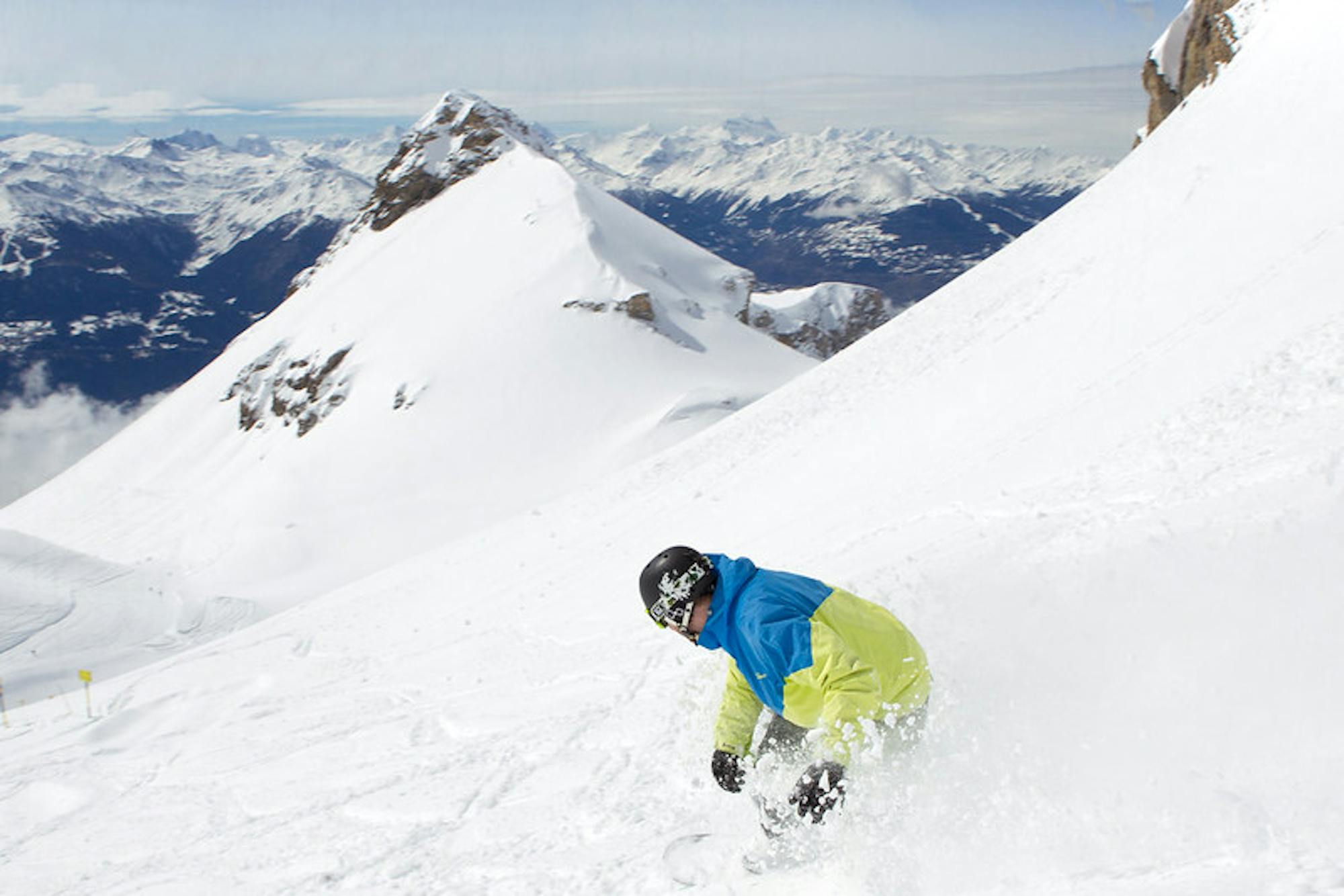
The classic Chamonix early season piste tour which enjoys wonderful views.
Moderate Resort Ski Touring
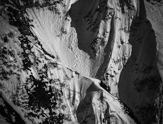
A superb, serious couloir that features a hazardous entrance and requires a comprehensive experience in the Vormaine area.
Severe Freeride Skiing

Mellow ridge action from the Aiguillette des Posettes
Easy Freeride Skiing

Access the 2000m threshold in ski touring and in complete safety: this is what this marked trail offers! A favorite also because of its exceptional panorama.
Difficult Resort Ski Touring