The Cotswold Way
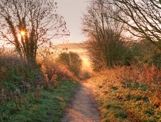
One of the most varied and engaging long distance trails in southern England
Moderate Hiking
- Distance
- 161 km
- Ascent
- 3.6 km
- Descent
- 3.7 km

Explore Bath and North East Somerset with curated guides of the best routes. With over 2 3D trail maps in FATMAP, you can easily discover and navigate the best trails in Bath and North East Somerset.
No matter what your next adventure has in store, you can find a guide on FATMAP to help you plan your next epic trip.
Get a top trail recommendation in Bath and North East Somerset, or get inspired by the 2 local adventures uploaded by the FATMAP community. Start exploring now!
One of the most varied and engaging long distance trails in southern England
Moderate Hiking

One of the most varied hikes in the region, taking in bucolic countryside and wonderful city views
Moderate Hiking