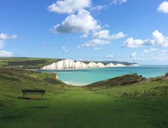
The South Downs Way
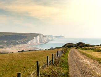
Enjoy the rolling countryside and coastal views of south-east England's finest hills
Moderate Hiking
- Distance
- 162 km
- Ascent
- 3.2 km
- Descent
- 3.2 km
Explore South Downs National Park with curated guides of the best routes. With over 8 3D trail maps in FATMAP, you can easily discover and navigate the best trails in South Downs National Park.
No matter what your next adventure has in store, you can find a guide on FATMAP to help you plan your next epic trip.
Get a top trail recommendation in South Downs National Park from one of our 2 guidebooks, or get inspired by the 8 local adventures uploaded by the FATMAP community. Start exploring now!
Enjoy the rolling countryside and coastal views of south-east England's finest hills
Moderate Hiking
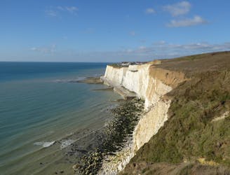
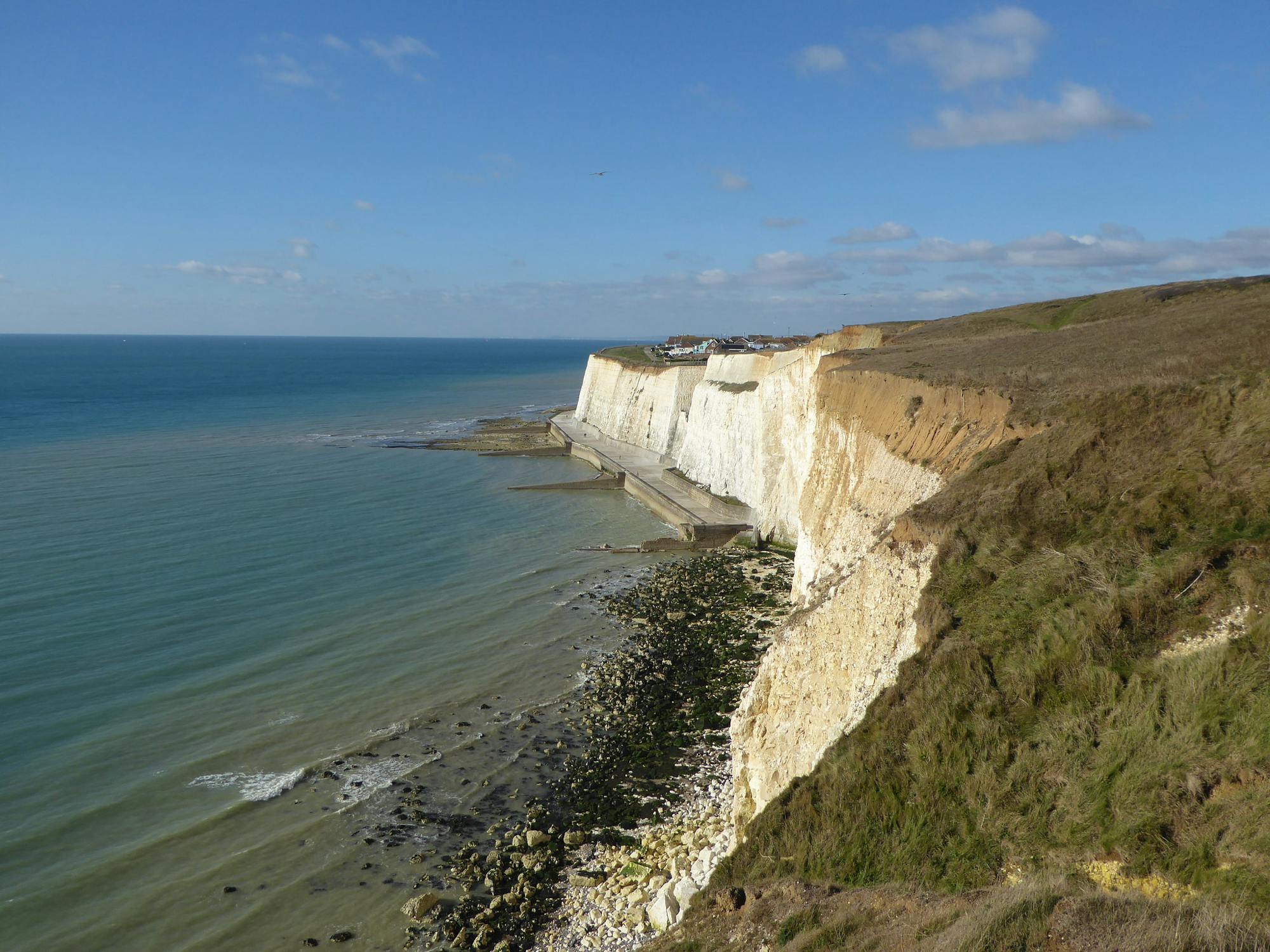
Discover the South Down’s spectacular cliff tops and pretty pebbled beaches.
Difficult Hiking

Pretty much all cross country on good footpaths. Burnthouse Bostall climb is such fun
Moderate Trail Running

A route steeped in history where you will follow in the paths of Kings
Moderate Trail Running
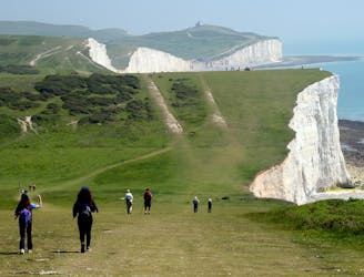
With wildlife, white cliffs and watering holes along the way, the 100-mile South Downs Way is a quintessentially British walk.
Moderate Hiking

This long distance walk takes you from the city to the coast, following the route of the London to Brighton Challenge.
Severe Hiking
It's the perfect route for walkers! This trail runs from the outskirts of London, through Ashdown Forest, Alfriston and Cuckmere Valley to the stunning East Sussex coast.
Severe Hiking

Winchester to Eastbourne - South Downs Way
Moderate Mountain Biking

4 routes · Hiking
5 routes · Hiking