To the Moonlander

A panked fatbike trail with steeps, berms, and log booters.
Severe Fat biking
- Distance
- 1 km
- Ascent
- 0 m
- Descent
- 136 m
Explore Michigan with curated guides of the best hiking trails, mountain bike trails, trail running routes, and more. With over 36 3D trail maps in FATMAP, you can easily discover and navigate the best trails in Michigan.
No matter what your next adventure has in store, you can find a guide on FATMAP to help you plan your next epic trip.
Get a top trail recommendation in Michigan from one of our 6 guidebooks, or get inspired by the 36 local adventures uploaded by the FATMAP community. Start exploring now!
A panked fatbike trail with steeps, berms, and log booters.
Severe Fat biking
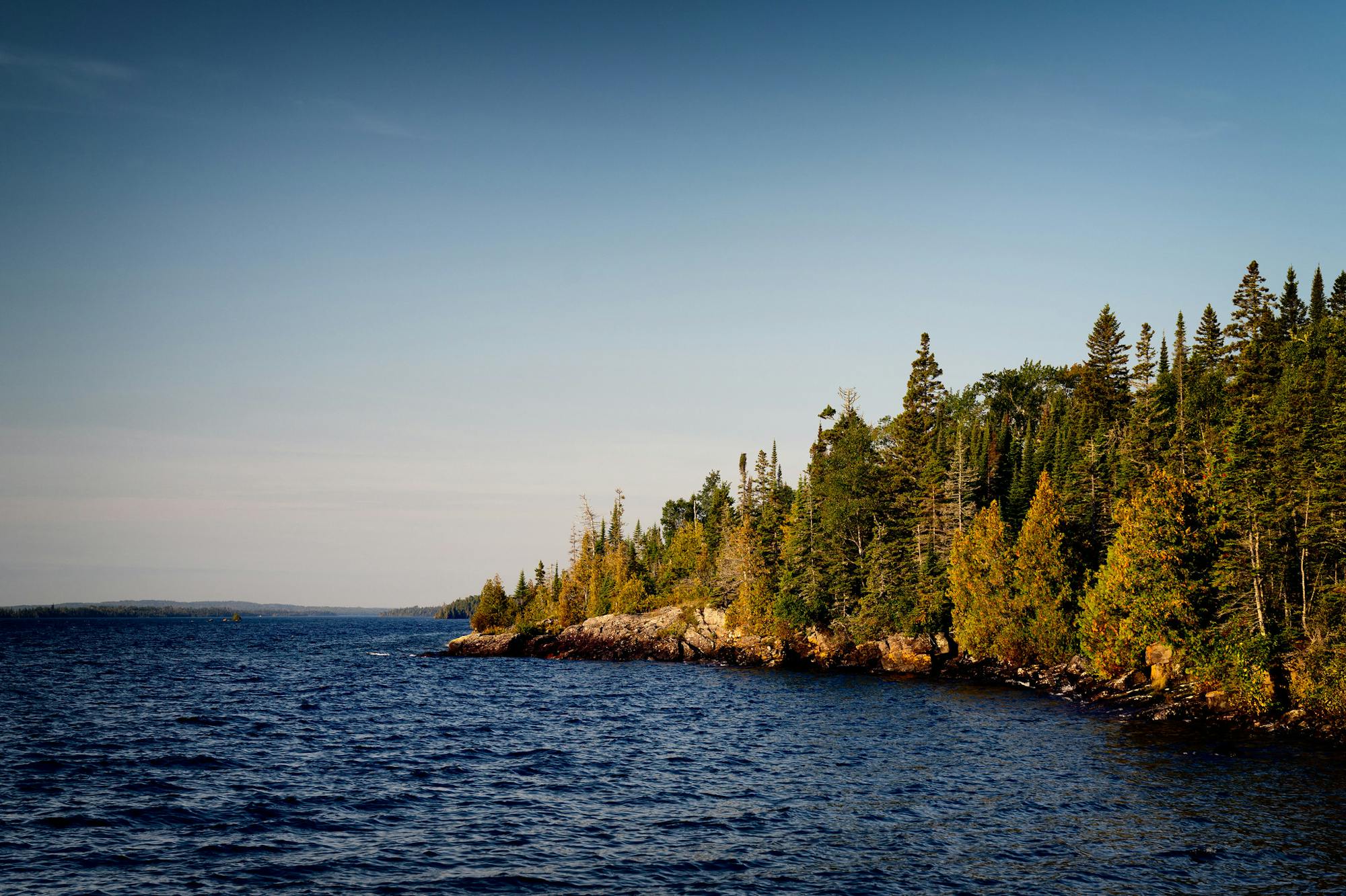
West to East Across Isle Royale (Point to Point)
Moderate Hiking
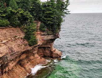
Hiking loop in Pictured Rocks National Lakeshore with cliffside and waterfall views.
Moderate Hiking

Gravel, gravel, some road, a little single track dirt
Moderate Mountain Biking