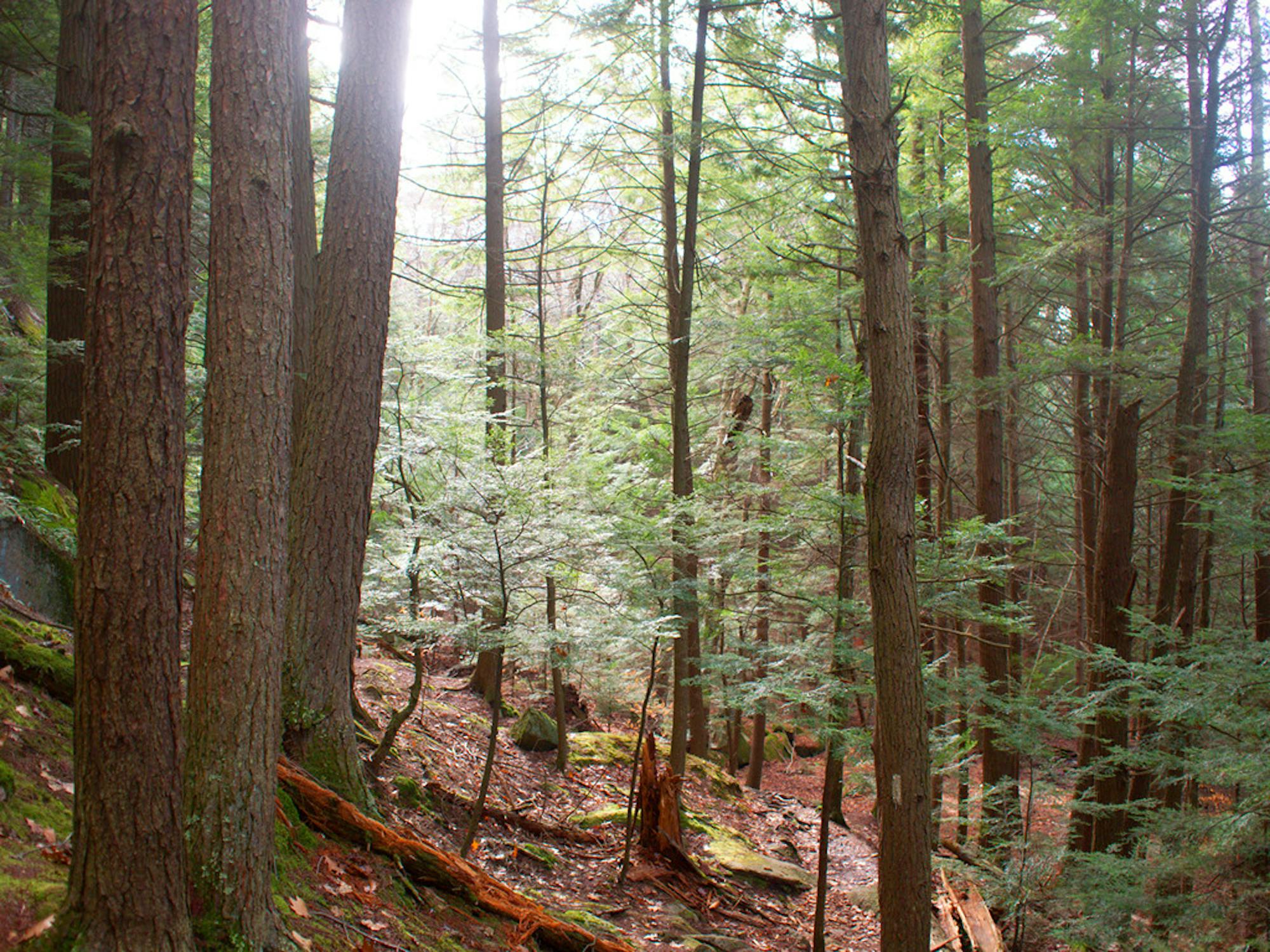
Passaconway (easy way up)

Relatively flat hike up Mount Passaconway
Easy Hiking
- Distance
- 15 km
- Ascent
- 966 m
- Descent
- 966 m
Explore New Hampshire with curated guides of the best hiking trails, trail running routes, ski routes, and more. With over 212 3D trail maps in FATMAP, you can easily discover and navigate the best trails in New Hampshire.
No matter what your next adventure has in store, you can find a guide on FATMAP to help you plan your next epic trip.
Get a top trail recommendation in New Hampshire from one of our 6 guidebooks, or get inspired by the 212 local adventures uploaded by the FATMAP community. Start exploring now!
Relatively flat hike up Mount Passaconway
Easy Hiking
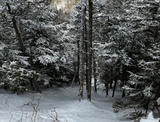
A steeper variation to Roost.
Difficult Freeride Skiing

A tight glade that drops into the Thompson Brook valley.
Difficult Freeride Skiing
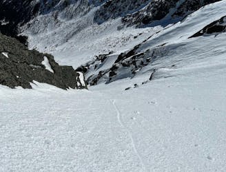
The most notorious ski mountaineering line in the east.
Extreme Ski Touring
A steep and beautiful line, that rarely comes into ski shape.
Extreme Ski Touring

Option 1 of two steep chutes
Severe Ski Touring
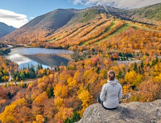
The perfect leaf peeping hike in Franconia Notch.
Moderate Hiking

Cut through to Baron's
Moderate Freeride Skiing

Not very well known glade off the tiger lift
Difficult Freeride Skiing

Backcountry glade of the Panorama chair
Difficult Ski Touring

Bushwhack up Pea Brook to slide
Severe Ski Touring
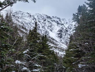
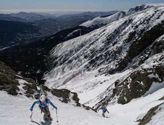
Cody Townsend's tour of Huntington and Tuckerman Ravines.
Difficult Ski Touring

Loop up the tripyramids
Difficult Hiking

A line with a brutal bushwhack, that sees very few skiers
Severe Ski Touring

Up Huntington down Lion's Head
Severe Hiking

A 1 night backpacking trip along the Franconia Ridge, tenting at Liberty Springs Campsite
Difficult Hiking