Ouachita National Recreation Trail
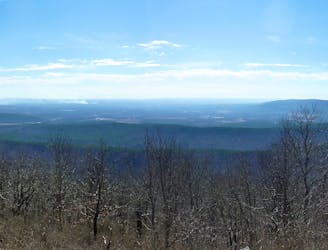
An epic point-to-point trail in the Ouachita Mountains.
Difficult Hiking
- Distance
- 317 km
- Ascent
- 7 km
- Descent
- 7.3 km
Explore Oklahoma with curated guides of the best routes. With over 2 3D trail maps in FATMAP, you can easily discover and navigate the best trails in Oklahoma.
No matter what your next adventure has in store, you can find a guide on FATMAP to help you plan your next epic trip.
Get a top trail recommendation in Oklahoma, or get inspired by the 2 local adventures uploaded by the FATMAP community. Start exploring now!
An epic point-to-point trail in the Ouachita Mountains.
Difficult Hiking

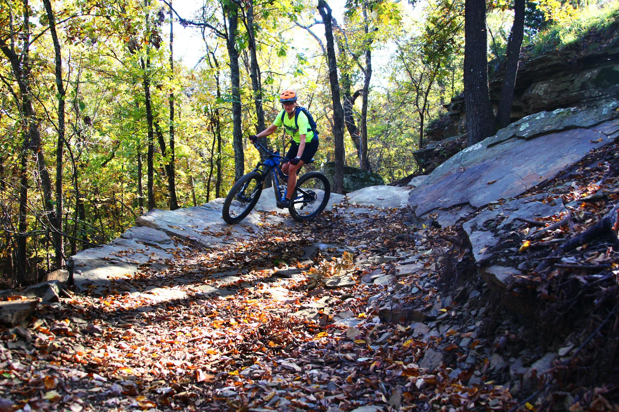
Nice, flowy singletrack around the lake.
Easy Mountain Biking