Patscher Alm via Heiligwasser

A classic hiking tour with a beautiful view of the impressive Serles northface.
Moderate Hiking
- Distance
- 7.3 km
- Ascent
- 686 m
- Descent
- 688 m
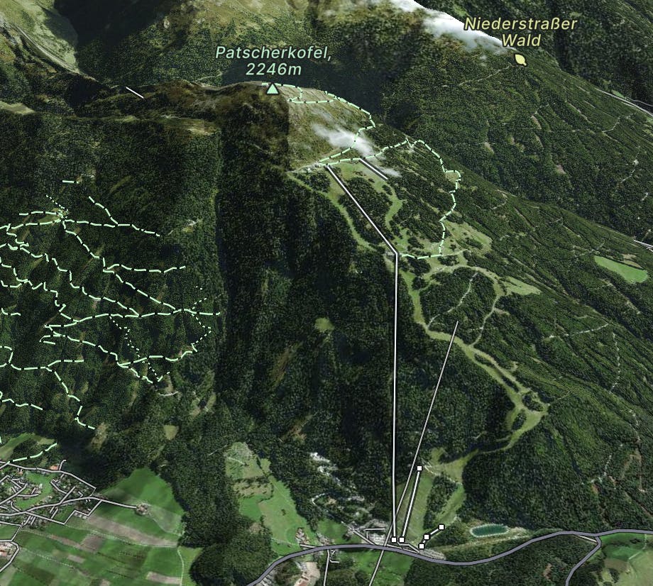
Go hiking in Patscherkofel with curated guides of the best hikes across the region. With over 6 3D trail maps in FATMAP, you can easily discover and navigate the best trails in Patscherkofel.
No matter what your next adventure has in store, you can find a guide on FATMAP to help you plan your next epic trip.
Get a top hiking trail recommendation in Patscherkofel from one of our 5 guidebooks, or get inspired by the 6 local adventures uploaded by the FATMAP community. Start exploring now!
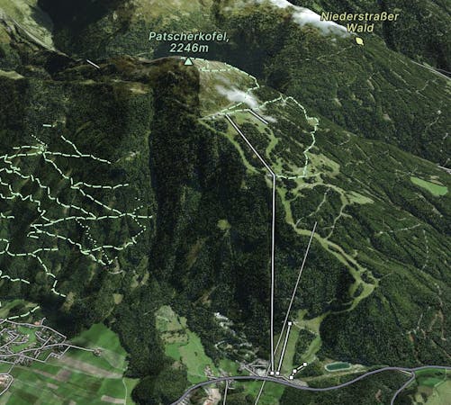

A classic hiking tour with a beautiful view of the impressive Serles northface.
Moderate Hiking
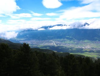
A stunning traverse high above the Inn valley, this is one of the most famous hikes in the Tirol.
Moderate Hiking

For those looking for an easy summit or an extension to the Zirbenweg, the short journey up to the summit of Patscherkofel is a great option.
Moderate Hiking

A wonderful, straightforward 7 kilometre walk taking you high into the mountains above Innsbruck.
Easy Hiking
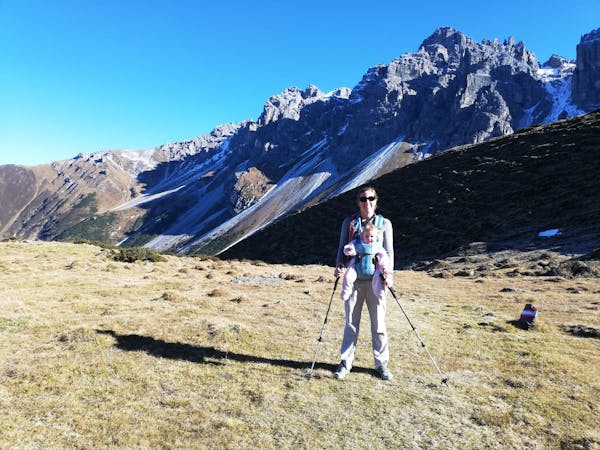
5 routes · Hiking
9 routes · Hiking

25 routes · Hiking