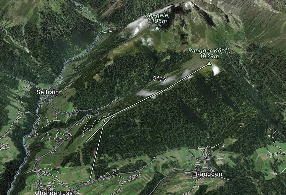
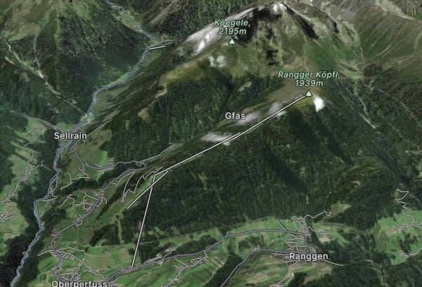
Rangger Köpfl Loop
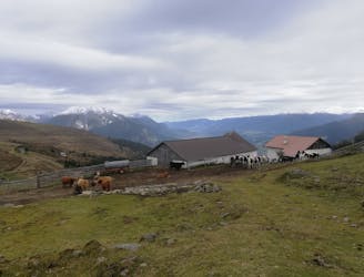
An incredibly wild-feeling trip through some wonderful scenery.
Difficult Hiking
- Distance
- 9.7 km
- Ascent
- 614 m
- Descent
- 615 m
Go hiking in Rangger Köpfl with curated guides of the best hikes across the region. With over 2 3D trail maps in FATMAP, you can easily discover and navigate the best trails in Rangger Köpfl.
No matter what your next adventure has in store, you can find a guide on FATMAP to help you plan your next epic trip.
Get a top hiking trail recommendation in Rangger Köpfl from one of our 5 guidebooks, or get inspired by the 2 local adventures uploaded by the FATMAP community. Start exploring now!
An incredibly wild-feeling trip through some wonderful scenery.
Difficult Hiking

25 routes · Hiking