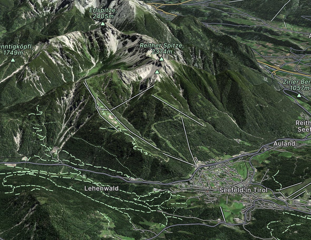
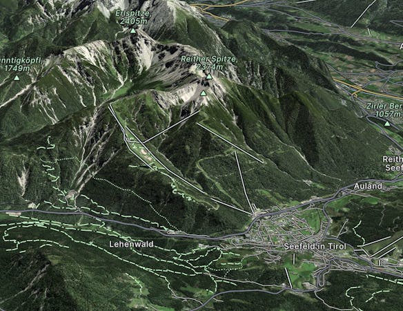
Seefeld to Hochzirl
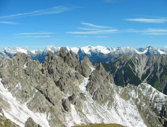
A high and wild day through some epic mountain scenery.
Severe Hiking
- Distance
- 15 km
- Ascent
- 716 m
- Descent
- 1.8 km
Go hiking in Seefeld - Rosshütte with curated guides of the best hikes across the region. With over 11 3D trail maps in FATMAP, you can easily discover and navigate the best trails in Seefeld - Rosshütte.
No matter what your next adventure has in store, you can find a guide on FATMAP to help you plan your next epic trip.
Get a top hiking trail recommendation in Seefeld - Rosshütte from one of our 5 guidebooks, or get inspired by the 11 local adventures uploaded by the FATMAP community. Start exploring now!
A high and wild day through some epic mountain scenery.
Severe Hiking

8 routes · Hiking

25 routes · Hiking