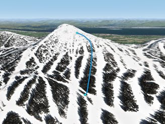
Westside Trees

Steep trees off of West Basin
Difficult Freeride Skiing
- Distance
- 329 m
- Ascent
- 0 m
- Descent
- 115 m
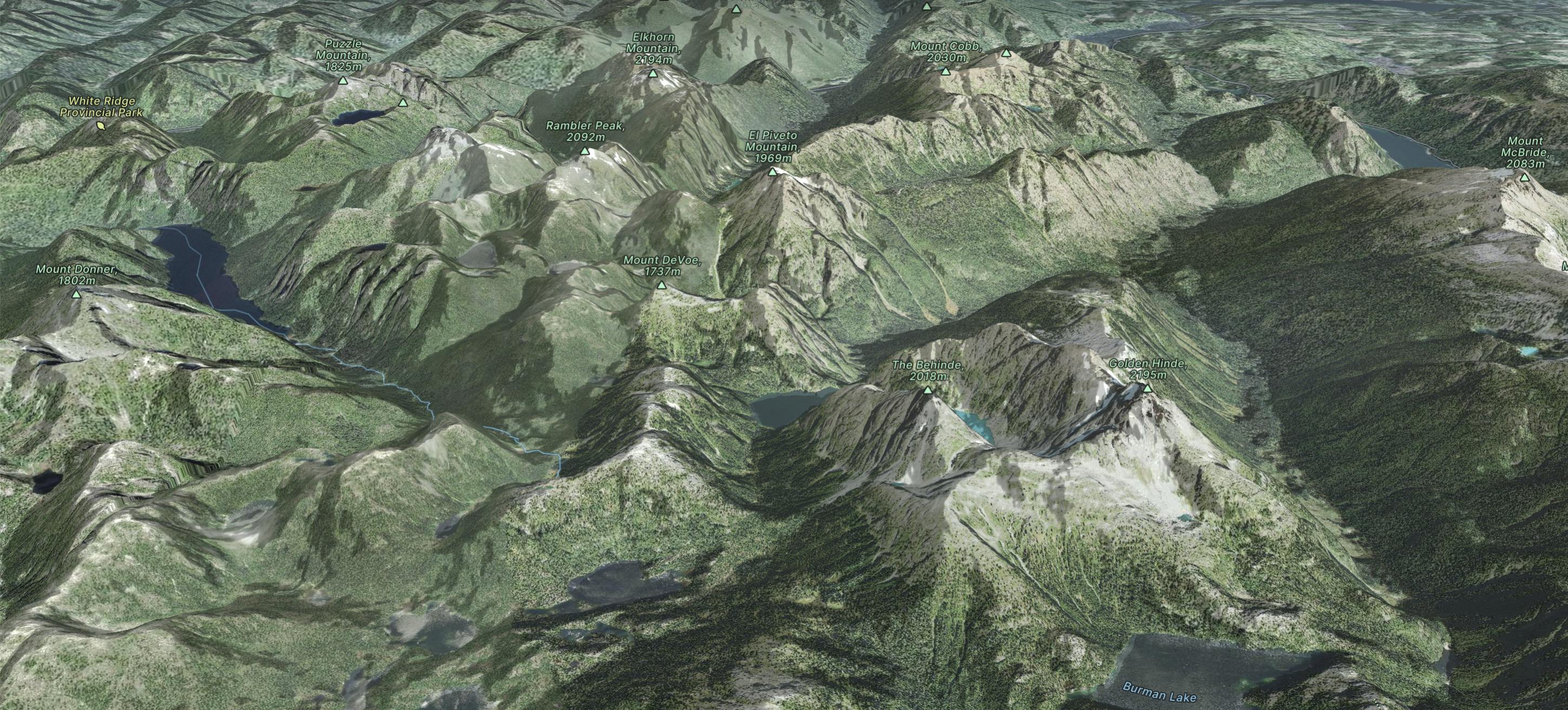
Go Freeride in Vancouver Island with curated guides of the best routes across the region. With over 87 3D trail maps in FATMAP, you can easily discover and navigate the best routes in Vancouver Island.
No matter what your next adventure has in store, you can find a guide on FATMAP to help you plan your next epic trip.
Get a top Freeride recommendation in Vancouver Island from one of our 14 guidebooks, or get inspired by the 87 local adventures uploaded by the FATMAP community. Start exploring now!
Steep trees off of West Basin
Difficult Freeride Skiing

An alternate way down Westerley
Moderate Freeride Skiing

Tight chutes accessed off of Boomerang the run.
Difficult Freeride Skiing

Difficult trees accessed off of Copper Ridge that often has great snow quality.
Severe Freeride Skiing

Fairly easy trees in the West Basin area.
Moderate Freeride Skiing

Some great trees in the powder face area.
Difficult Freeride Skiing
Great trees in between east bull and whiskey jack
Moderate Freeride Skiing

The open chutes in the North bowl area.
Severe Freeride Skiing