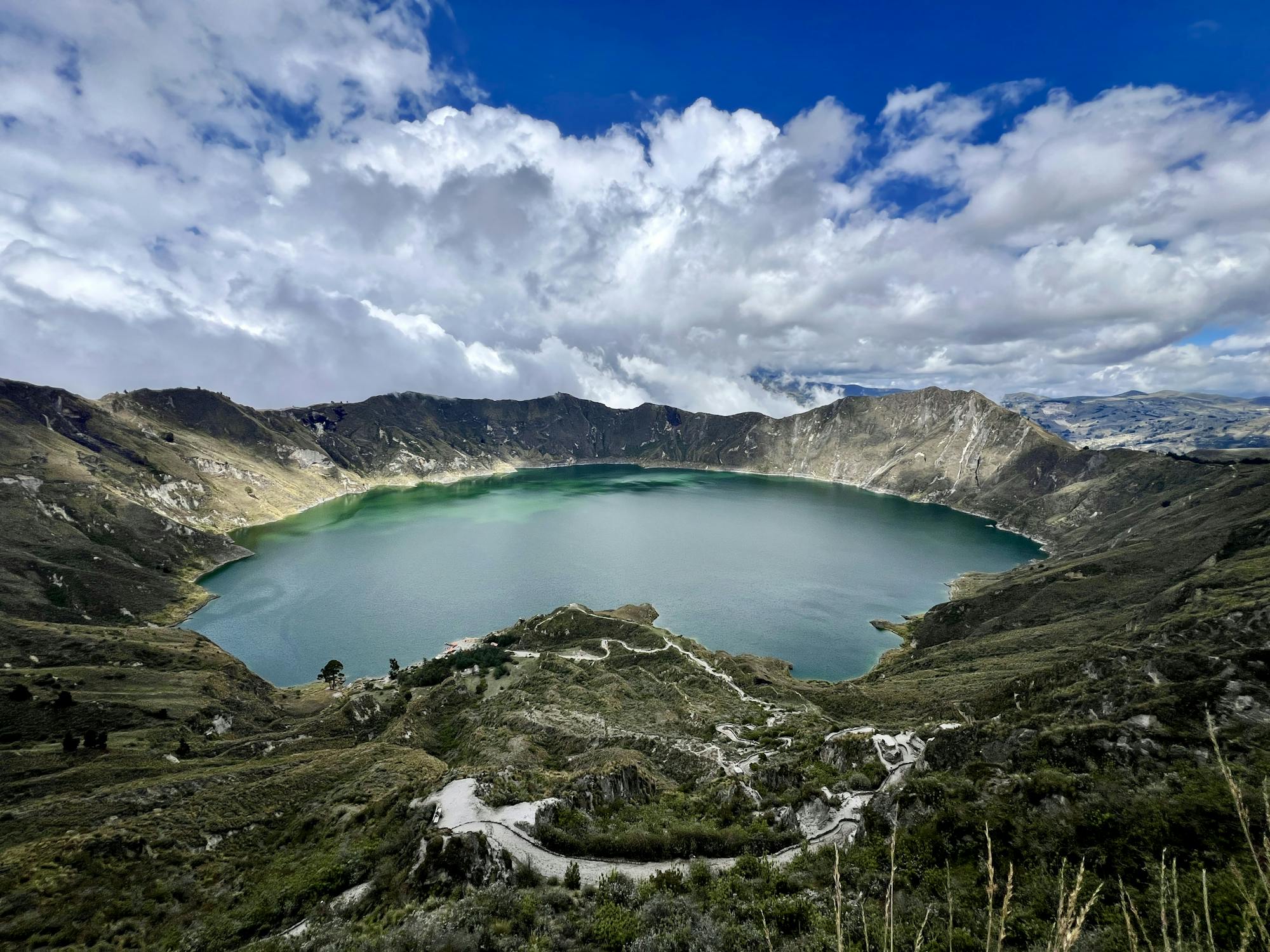
Quilotoa Lakeshore Hike

Hike down to the shores of the sparking blue lake in Quilotoa Crater
Moderate Hiking
- Distance
- 3.4 km
- Ascent
- 402 m
- Descent
- 402 m
Go hiking in Quilotoa with curated guides of the best hikes across the region. With over 2 3D trail maps in FATMAP, you can easily discover and navigate the best trails in Quilotoa.
No matter what your next adventure has in store, you can find a guide on FATMAP to help you plan your next epic trip.
Get a top hiking trail recommendation in Quilotoa, or get inspired by the 2 local adventures uploaded by the FATMAP community. Start exploring now!
Hike down to the shores of the sparking blue lake in Quilotoa Crater
Moderate Hiking
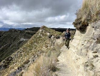
Hike a rugged trail that circumnavigates the rim of the spectacular Quilotoa Crater.
Difficult Hiking