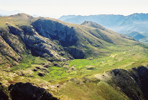
17 routes · Hiking
Go hiking in Haute-Corse with curated guides of the best hikes across the region. With over 13 3D trail maps in FATMAP, you can easily discover and navigate the best trails in Haute-Corse.
No matter what your next adventure has in store, you can find a guide on FATMAP to help you plan your next epic trip.
Get a top hiking trail recommendation in Haute-Corse, or get inspired by the 13 local adventures uploaded by the FATMAP community. Start exploring now!
17 routes · Hiking
Easy ascent across varied terrain with great views. (Follows one stage of the GR20)
Moderate Hiking

Mare a Mare Centre Corse
Difficult Hiking
Coastal hiking through Agriate desert
Moderate Hiking

Cross 3 authentic villages and their rural environment of character, between tradition and modernity.
Difficult Hiking

This hike takes you to visit ancient "ice houses" above Cardo dating from the 16th and 18th centuries and allowing the conservation of cold to make ice.
Difficult Hiking

Path Poggio d'Oletta to Oletta via abandoned hamlet of Romanacce
Moderate Hiking

This is a tourist circuit between village and nature where we discover the village of Murato
Moderate Hiking

A beautiful walk, surrounded by the vineyards of Patrimonio, between Monte San'Angelo and the Col de Teghime.
Easy Hiking