Ciottulu di i Mori
Corsica
Easy ascent across varied terrain with great views. (Follows one stage of the GR20)
Hiking Moderate
- Distance
- 5.6 km
- Ascent
- 702 m
- Descent
- 36 m
- Duration
- 2-3 hrs
- Low Point
- 1.3 km
- High Point
- 2 km
- Gradient
- 17˚

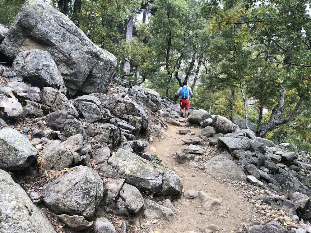
First couple of kilometres follow a shady woodland path through through pine and beech trees opening out to rocky slopes and the Bergeries de Radule (great for refreshments and cheese when open).
- •
- •
- •
Description
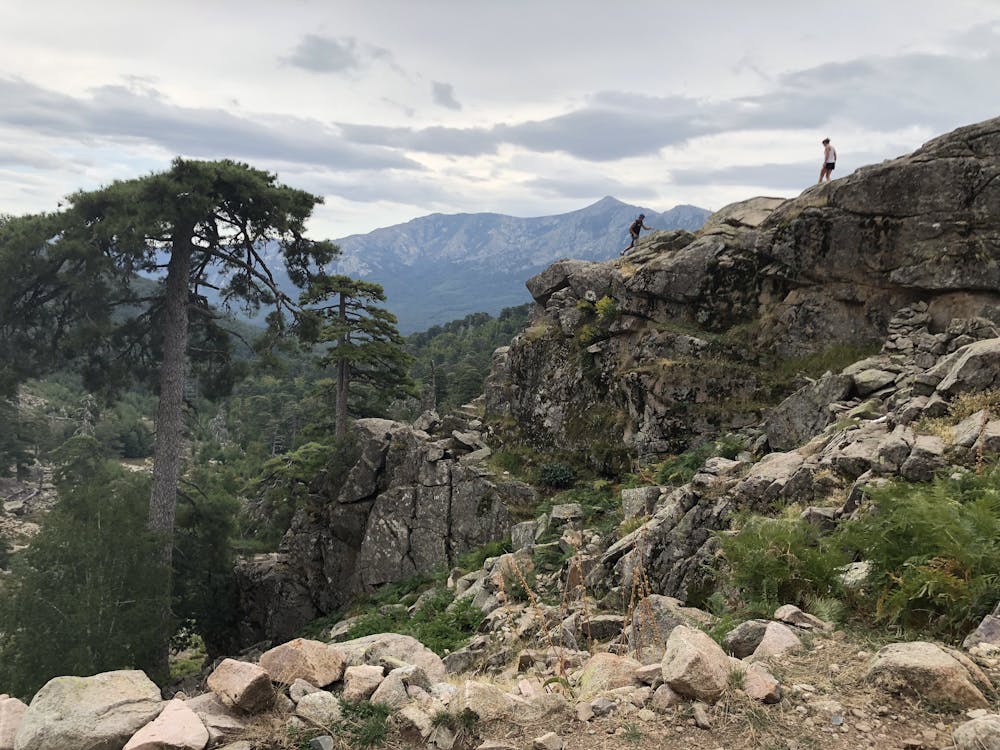
The path then skirts around the rock to reach and cross the Golu stream. Great views look back across the valley scattered with the famous windswept Corsican Black Pine trees.
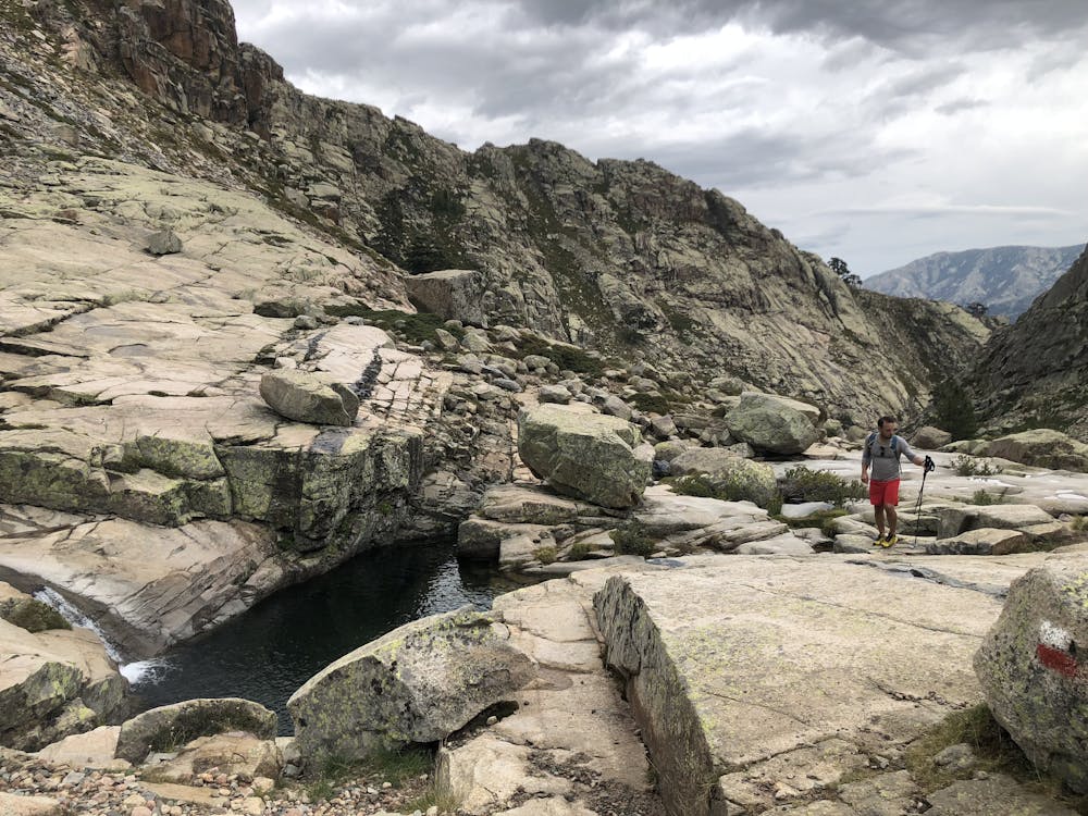
Continue on from the bridge and follow the Golu upstream to the reach pristine rock pools that are perfect for cooling dips in the hotter months.
The path rounds the corner to finally get a view of the highpoint; Paglia Orba and the Refuge Ciottulu di i Mori which sits a few hundred metres below the peak.
A final hundred meters steep ascent rewards you with the hut, where the owners will be happy to serve up local meets, cheeses or soup with a pitcher of wine.
From here you can then push on for another few hundred meters up a fun scramble (approx grade 2) to reach the peak Paglia Orba and some well earnt views across Corsica.
A variation on the return route can be taken in good weather along the ridge which also grants breath taking views across the western coastline. This then drops back off back down to the rock pools to return on the same outward path.
Difficulty
Moderate
Hiking along trails with some uneven terrain and small hills. Small rocks and roots may be present.
Medium Exposure

The trail contains some obstacles such as outcroppings and rock which could cause injury.
Remoteness
Away from help but easily accessed.
Best time to visit
Features
- Wildlife
- Picturesque
- Summit Hike
- Water features
- Forestry or heavy vegetation