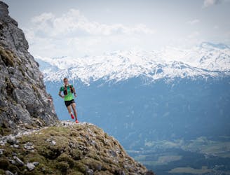
CCC 2024

Official UTMB CCC 2024
Severe Trail Running
- Distance
- 98 km
- Ascent
- 5.9 km
- Descent
- 6 km
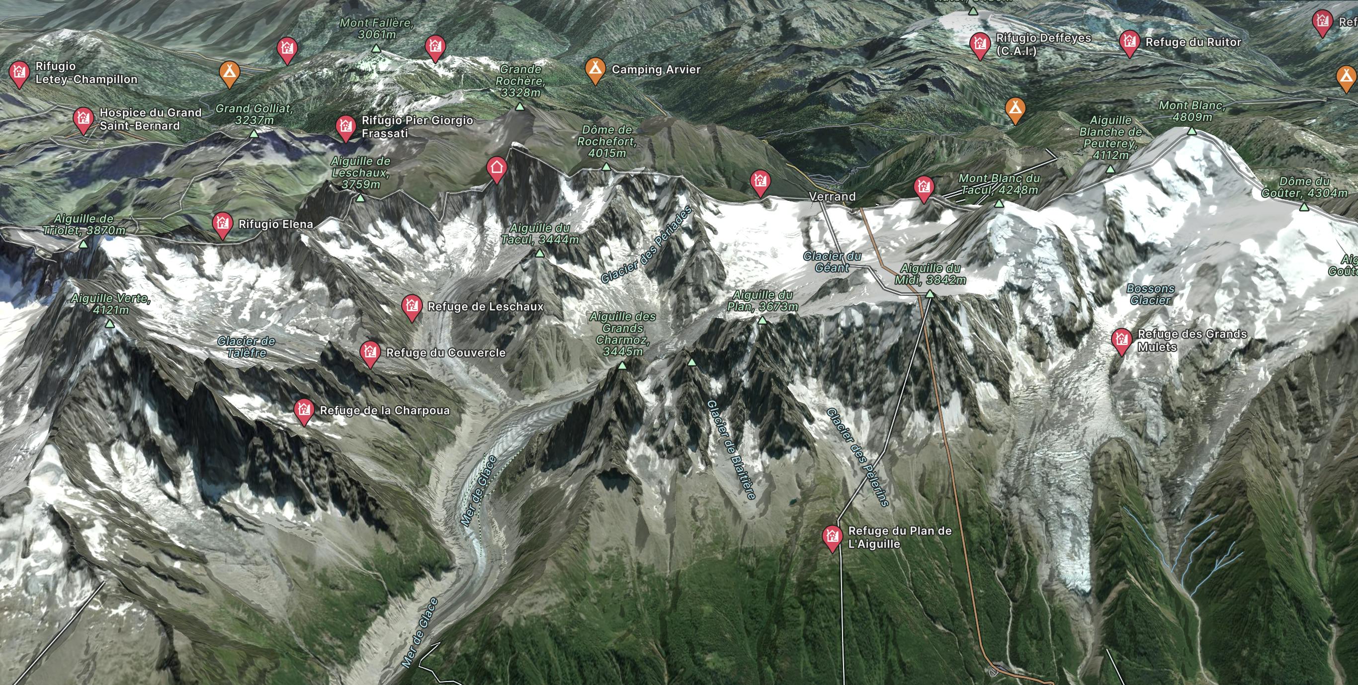
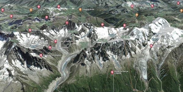
Go trail running in Aiguille du Midi with curated guides of the best trail runs across the region. With over 101 3D trail maps in FATMAP, you can easily discover and navigate the best trails in Aiguille du Midi.
No matter what your next adventure has in store, you can find a guide on FATMAP to help you plan your next epic trip.
Get a top trail running recommendation in Aiguille du Midi from one of our 23 guidebooks, or get inspired by the 101 local adventures uploaded by the FATMAP community. Start exploring now!
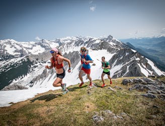
Official UTMB CCC 2024
Severe Trail Running

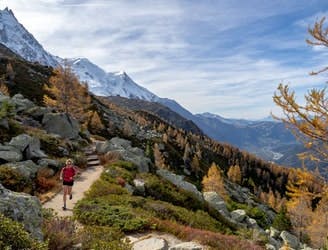
Pass under some legendary peaks on this classic loop
Moderate Trail Running

Une boucle partant du parking du Grepon et menant à une superbe cascade de 20 mètres de haut à 1 233 mètres d'altitude. A loop starting at the Grepon car park, taking you to a superb waterfall towering 20 meters high at an altitude of 1,233 meters.
Moderate Trail Running
Une descente en balcon sous les Aiguilles de Chamonix
Difficult Trail Running
A high balcony run below the Chamonix Aiguilles
Difficult Trail Running

A half loop around Mont-Blanc that starts in Courmayeur. Une demi-boucle autour du Mont-Blanc qui débute à Courmayeur.
Extreme Trail Running
A wild route that winds through the well-known “Grande Randonnée du Tour du Mont-Blanc (GR TMB)” trail Un itinéraire sauvage qui emprunte le célèbre sentier de la Grande Randonnée du Tour du Mont-Blanc (GR TMB).
Extreme Trail Running
A 57km route that starts in Orsières and finished in Chamonix Un parcours de 57 km qui débute à Orsières et se termine à Chamonix.
Extreme Trail Running