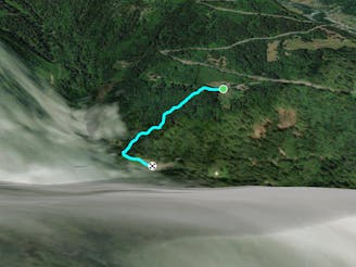
Lac du Ger Car Park to Chalet Ski-Massif (alt)

Alternative route back from the Car Park for the Lac du Ger to Chalet Ski-Massif
Moderate Hiking
- Distance
- 1.1 km
- Ascent
- 147 m
- Descent
- 0 m
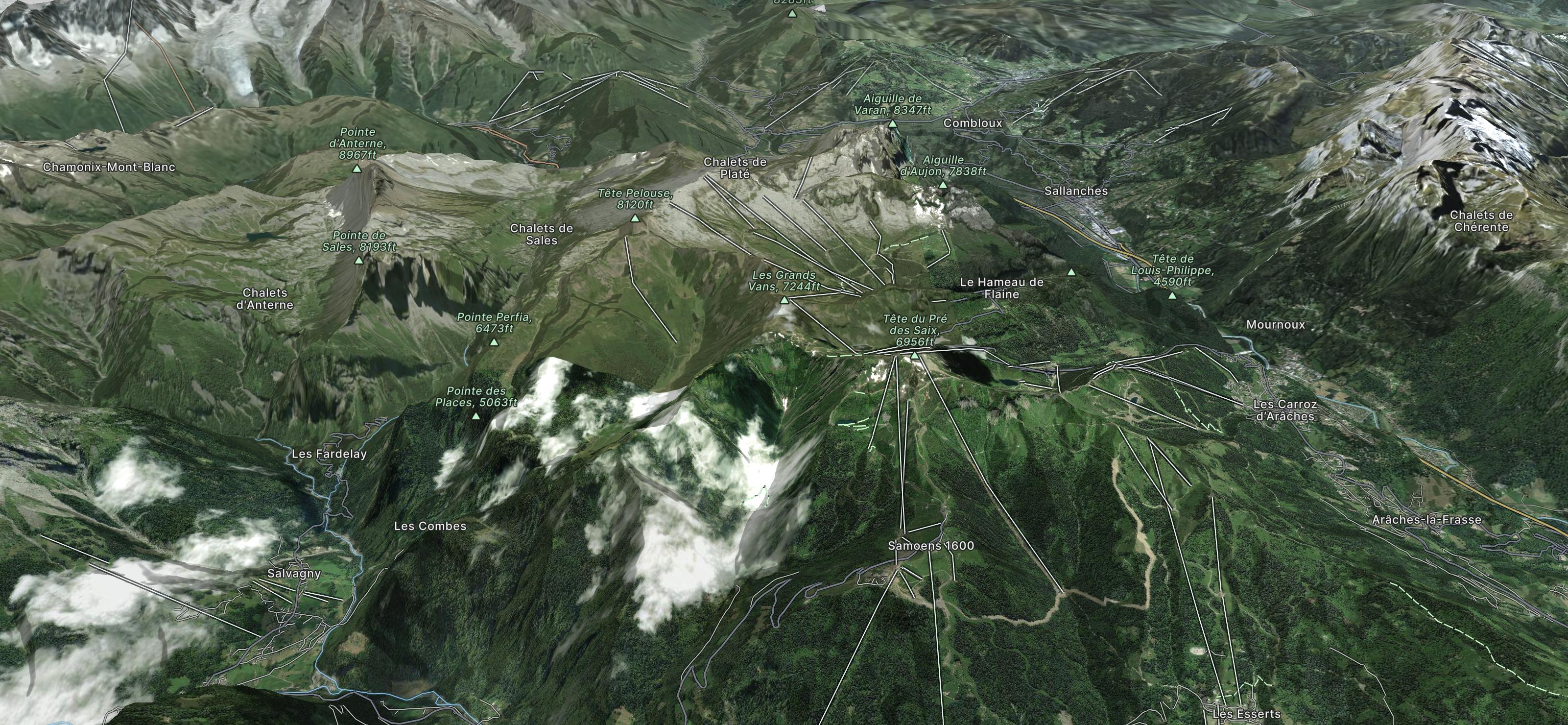
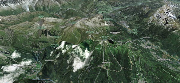
This incredibly big, but still little known area, has so much going for it that we are loathe to share, but share we must – it’s a fatmap community thing! With the title of ‘one of the largest linked ski areas in France’, host to the second longest totally on-piste run in Europe, and being just one hour from Geneva it is no wonder even the Tourist Offices don’t want to broadcast its attributes for fear of overcrowding!
Explore Grand Massif with curated guides of the best hiking trails, ski routes, and more. With over 42 3D trail maps in FATMAP, you can easily discover and navigate the best trails in Grand Massif.
No matter what your next adventure has in store, you can find a guide on FATMAP to help you plan your next epic trip.
Get a top trail recommendation in Grand Massif from one of our 2 guidebooks, or get inspired by the 42 local adventures uploaded by the FATMAP community. Start exploring now!
Alternative route back from the Car Park for the Lac du Ger to Chalet Ski-Massif
Moderate Hiking

2 hour circuit starting and finishing at Chalet Ski Massif
Moderate Hiking

Hike up from the Gers car park to the Refuge du Lac de Gers
Moderate Hiking
Hike down from Chalet Ski Massif to the car park for the Lac de Gers
Moderate Hiking

Official MTB trails haut Giffre 2016
Severe Mountain Biking
Petit tour très sympa depuis Flaine, on passe par deux lacs.
Moderate Trail Running
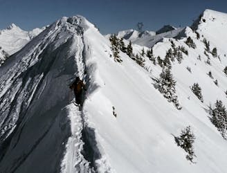
Shortish hike to enter steep and narrow couloir
Severe Freeride Skiing

Climb to the top of the cable car, without using it and with a magnificent panorama on arrival. This is the idea of this intermediate route, the most sporty of the Carroz.
Difficult Resort Ski Touring

Cross-country skiing under the stars is a pleasure that enthusiasts appreciate and it is the possibility offered by this route.
Moderate Resort Ski Touring

The Tronchets itinerary is a beautiful path between valleys and forests, two ski lengths from the alpine slopes. The opportunity to race with your friends who use the lifts?
Moderate Resort Ski Touring