26 m away
From top of Vernant & Grands Vans chairs

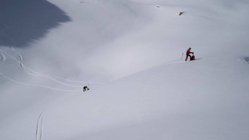
Along a ridge and then an open face.
Difficult Freeride Skiing
- Distance
- 1.3 km
- Ascent
- 0 m
- Descent
- 247 m
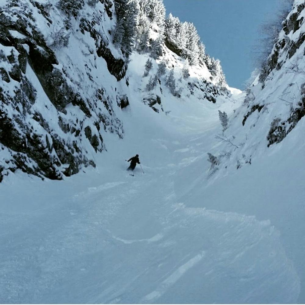
Shortish hike to enter steep and narrow couloir
Freeride Skiing Severe

This is a popular freeride skiing route which is generally considered to be severe. It's not remote, it features medium exposure (e2) and is typically done between January and March. From a low point of 1.7 km to the maximum altitude of 2.2 km, the route covers 2.5 km, 84 vertical metres of ascent and 538 vertical metres of descent. It's graded 5.1 and Labande grade 5.
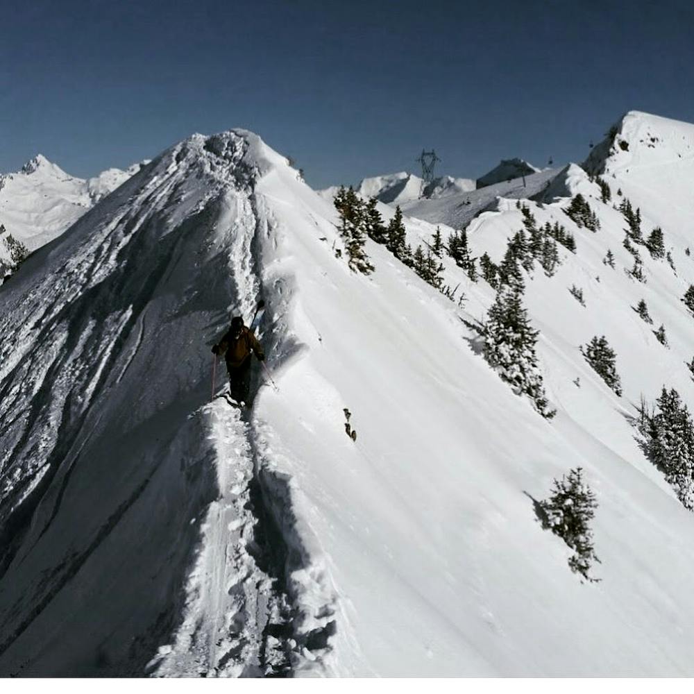
Narrow ridge hike to access steep and narrow couloir
Severe
Steep skiing at 38-45 degrees. This requires very good technique and the risk of falling has serious consequences.

As well as the slope itself, there are some obstacles (such as rock outcrops) which could aggravate injury.

Close to help in case of emergency.
26 m away
Along a ridge and then an open face.
Difficult Freeride Skiing
28 m away

An open pitch with great powder or moguls into a steeper couloir and then open ground.
Difficult Freeride Skiing
32 m away

An open face with great powder or moguls then into a steep couloir.
Difficult Freeride Skiing
82 m away

Open face - great powder or moguls then more gentle terrain.
Moderate Freeride Skiing
97 m away

A great run which is relatively easily accessed even when the lift is not open.
Difficult Freeride Skiing
1.8 km away

A great open bowl
Difficult Freeride Skiing
1.8 km away

An open bowl that is prone to slide but has a long run in good conditions.
Difficult Freeride Skiing
2.1 km away

An open face – with a 5 minute hike out
Moderate Freeride Skiing
2.3 km away

Tight through the trees then opens up to steep short-ish pitch
Difficult Freeride Skiing
2.5 km away

A long off piste run with great variety and a long difficult drag to get back out
Severe Freeride Skiing
20 routes · Freeride Skiing