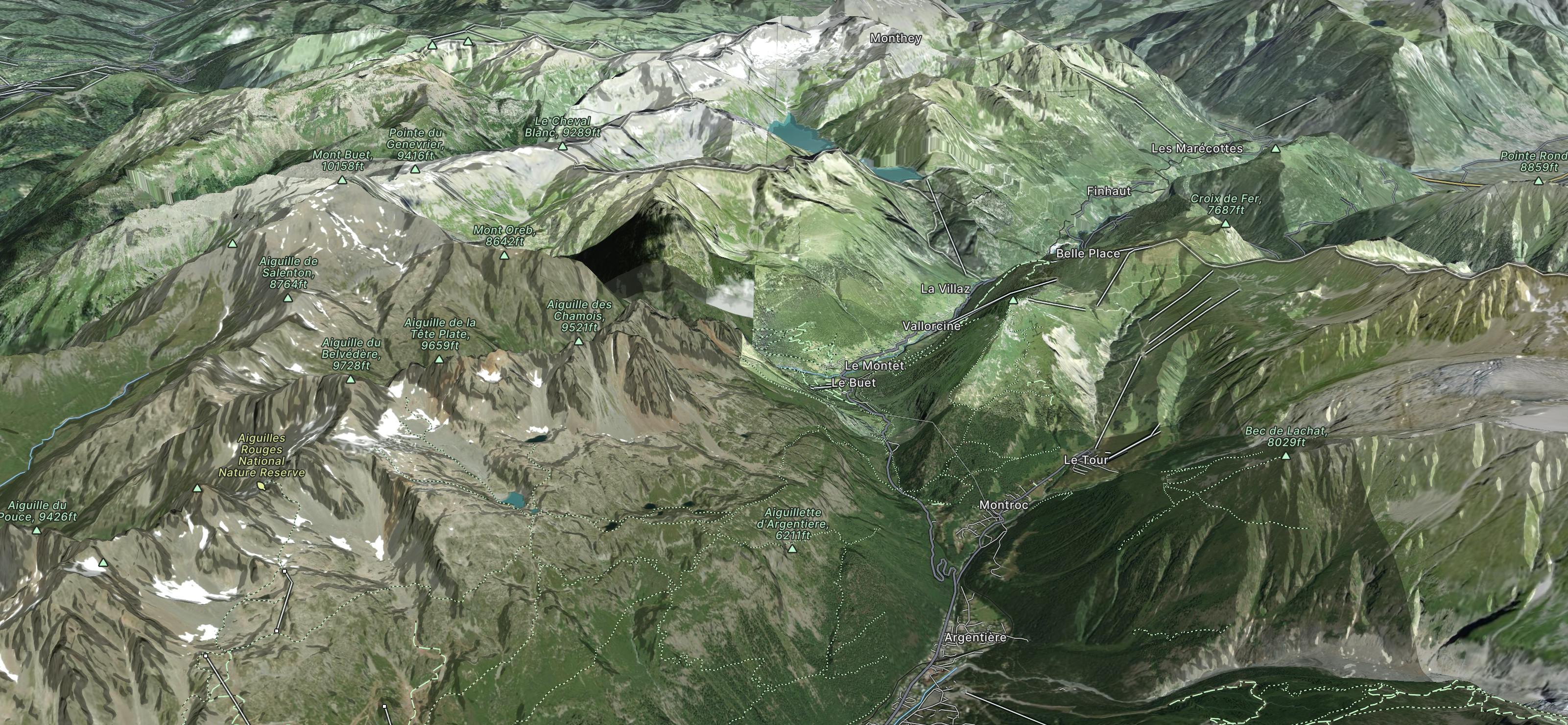
Refuge Moede d'Anterne to Le Buet
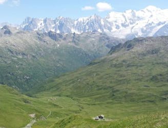
A wild walk along a beautiful ridgeline to arguably the summit with the best view in the area
Difficult Hiking
- Distance
- 19 km
- Ascent
- 1.4 km
- Descent
- 2 km
Go hiking in La Poya with curated guides of the best hikes across the region. With over 11 3D trail maps in FATMAP, you can easily discover and navigate the best trails in La Poya.
No matter what your next adventure has in store, you can find a guide on FATMAP to help you plan your next epic trip.
Get a top hiking trail recommendation in La Poya from one of our 1 guidebooks, or get inspired by the 11 local adventures uploaded by the FATMAP community. Start exploring now!
A wild walk along a beautiful ridgeline to arguably the summit with the best view in the area
Difficult Hiking

Hike from Buet to Pierre à Bérard Hut
Moderate Hiking