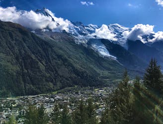
5.4 km away
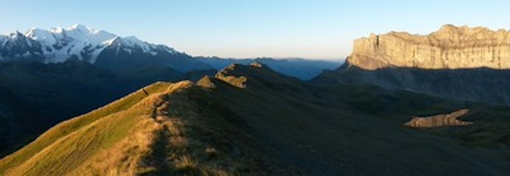
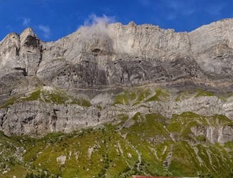
Tour des Fiz
Beautiful loop with enough alternatives to fit any hiker's taste and endurance
Severe Hiking
- Distance
- 33 km
- Ascent
- 2.3 km
- Descent
- 2.3 km
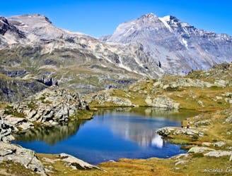
A wild walk along a beautiful ridgeline to arguably the summit with the best view in the area
Hiking Difficult

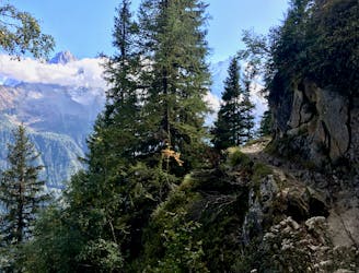
After enjoying breakfast at the refuge set off up the picturesque and wild aretes of Moede and Villy and their respective summits before continuing up to the high and barren summit of the Mont Buet.
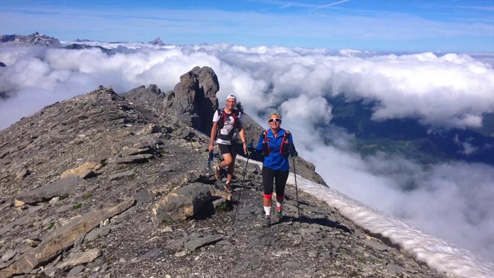
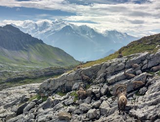
On a clear day you can see as far as the high mountains of Monte Rosa and the Matterhorn on one side and to the Jura and beyond on the other. Few peaks offer such a reaching and unrestricted perspective of the alps.
After taking in the view begin the descent to the Refuge Pierre a Berard and down the picturesque Buet valley and it's torent and waterfalls.
Difficult
Hiking trails where obstacles such as rocks or roots are prevalent. Some obstacles can require care to step over or around. At times, the trail can be worn and eroded. The grade of the trail is generally quite steep, and can often lead to strenuous hiking.

The trail contains some obstacles such as outcroppings and rock which could cause injury.

Little chance of being seen or helped in case of an accident.
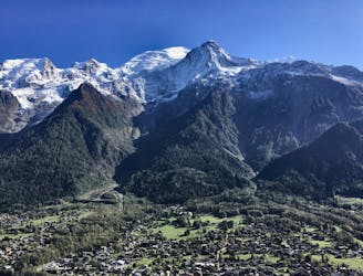
5.4 km away
Beautiful loop with enough alternatives to fit any hiker's taste and endurance
Severe Hiking
5.4 km away
A stunning loop taking in some of the best Mont Blanc views you'll find
Difficult Hiking
5.4 km away

Day 1: A gentle downhill day on the sun-kissed south-facing slopes of the Brévent peak.
Moderate Hiking
5.4 km away

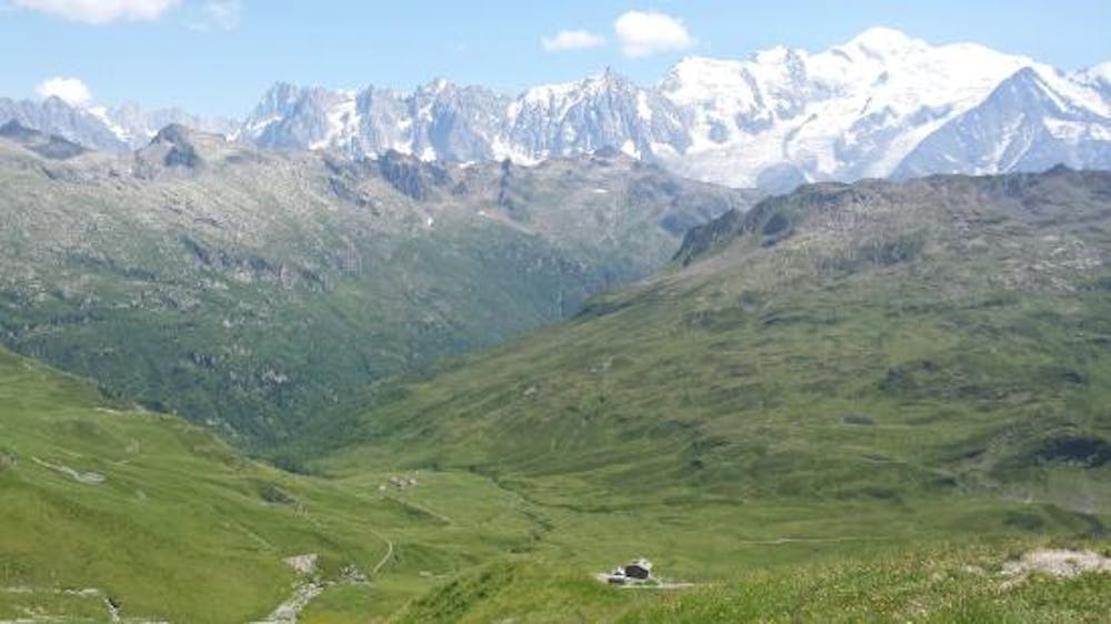
Circumnavigate the iconic Mont Blanc massif on this epic multi-day route.
Severe Hiking
5.9 km away

Escape the crowds at Lac Blanc by hiking to Lac Cornu instead.
Severe Hiking
6.9 km away
A stunning segment of the TMB following the Grand Balcon Sud trail.
Difficult Hiking
6.9 km away
Hike to Lac Blanc from La Flegere on one of Chamonix's most famous hikes!
Difficult Hiking
6.9 km away
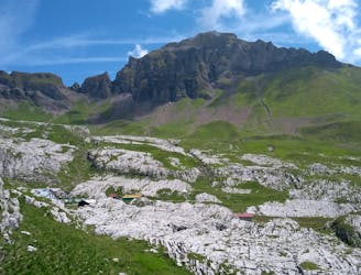
Discover Europe's largest limestone pavement formation ("désert de Platé")
Severe Hiking
7.5 km away
A classic loop around the Chamonix Valley.
Moderate Hiking
7.6 km away
While one of the less interesting sections of the TMB, this stretch still offers a few hidden trail gems.
Moderate Hiking

6 routes · Hiking

14 routes · Hiking

12 routes · Hiking