1.2 km away
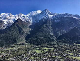
Tour du Mont Blanc

Circumnavigate the iconic Mont Blanc massif on this epic multi-day route.
Severe Hiking
- Distance
- 172 km
- Ascent
- 11 km
- Descent
- 11 km
Escape the crowds at Lac Blanc by hiking to Lac Cornu instead.
Hiking Severe

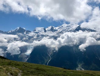
Sick of the crowds of other tourists hiking to Lac Blanc? Or do you not even want to bother with the swarms of people on Chamonix’s most popular hikes? Then head to Lac Cornu instead!
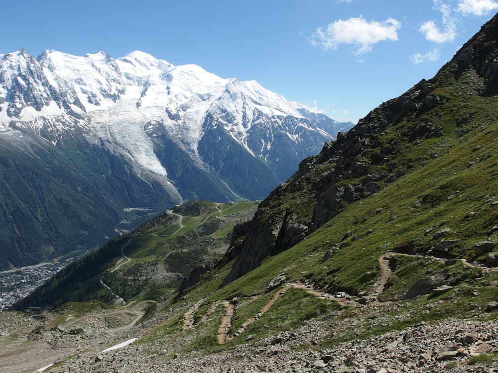
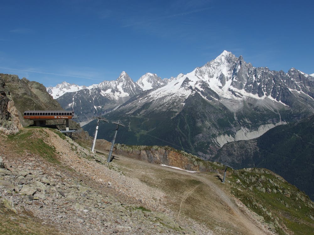
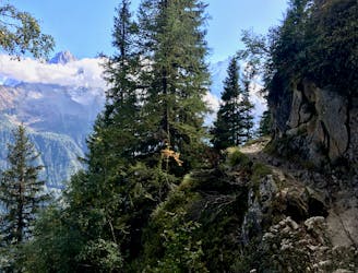
The route to Lac Cornu mapped here runs out-and-back from the top of the Planpraz lift—the mid-station of Le Brevent. If you’re more ambitious, you can combine Lac Cornu with Lacs Noirs, and even head all the way over to Lac Blanc if you’d like. Check out the South Balcony Tour trail run to give you ideas for a long lake linkup in this area.
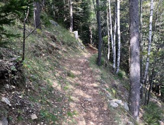
While the hike is relatively non-technical, it does traverse rocky, alpine terrain and gain a respectable amount of elevation even from the top of the lift. One scree field crossing may require some scrambling. But for most people with moderate physical fitness, this hike should be manageable.
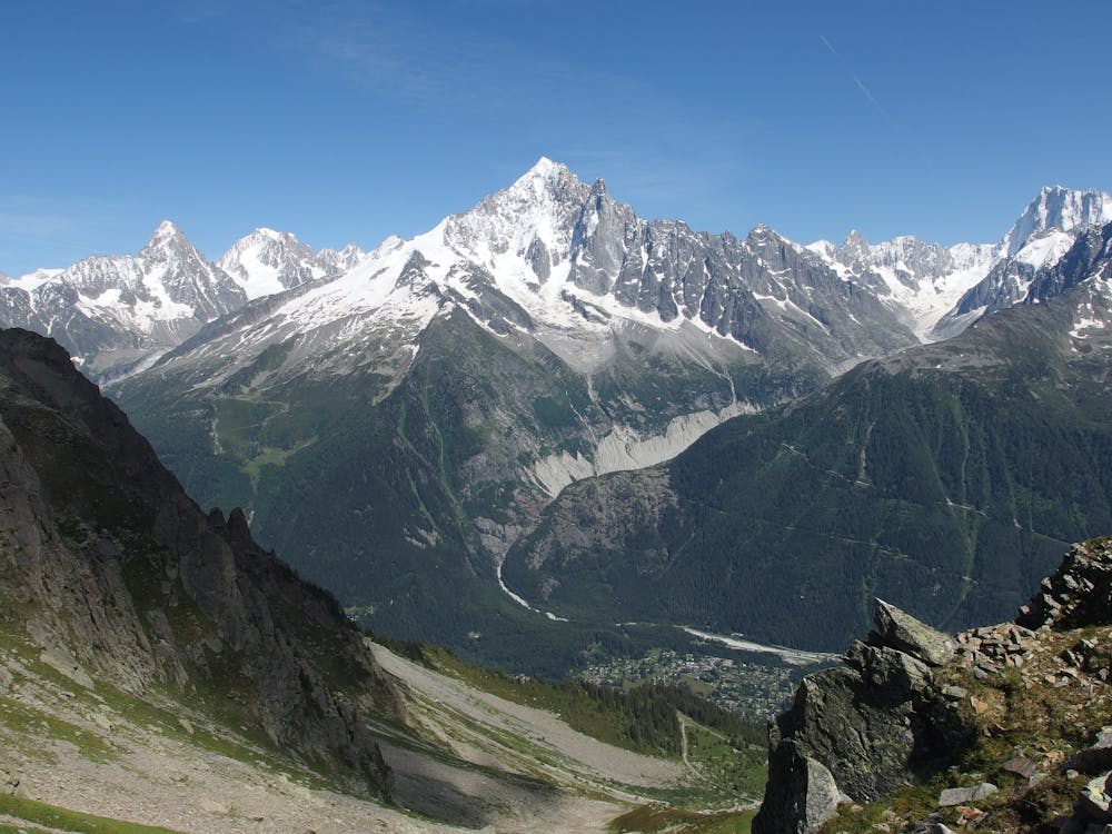
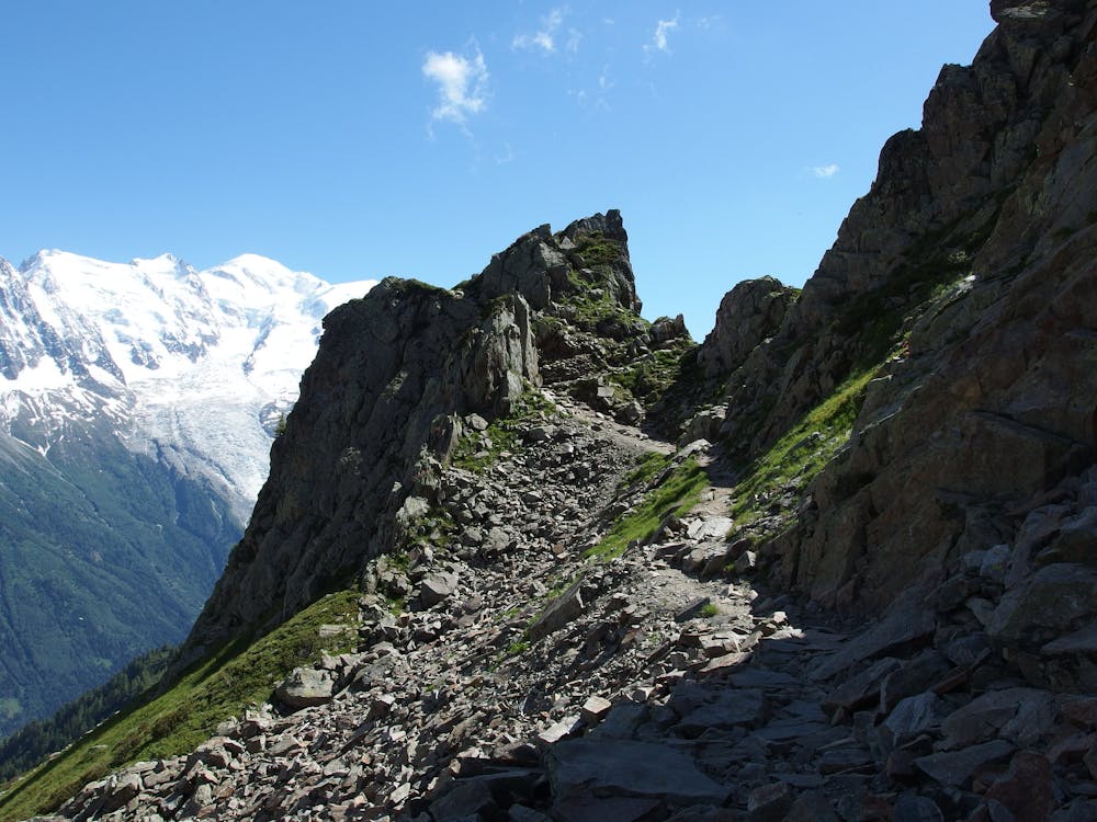
Beyond the short scree field scramble, “the trail becomes steeper as it approaches Col Cornu and you pass between the impressive peaks of Aiguille de Charlanon on your left and Aiguille Pourrie on your right,” according to Chamonet.com. “Once you’ve reached the summit of the col at 2414m the trail drops down to the lake.”
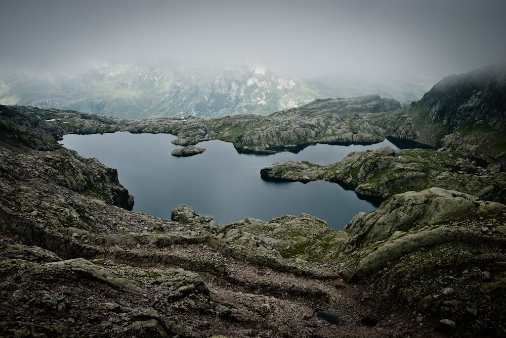
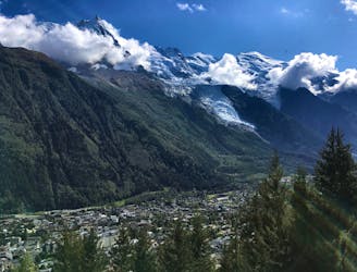
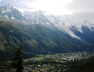
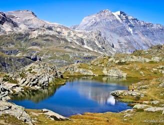
Lac Cornu feels much wilder than Lac Blanc. A ring of rocky boulders forms the shores of the lake, and there’s no hut here to serve you a warm lunch.
The wildness of the area will force you to pause and soak in the breathtaking grandeur of the mountains you’re surrounded by. Not only that, but “the rocks make for quite eerie acoustics and you can often hear the cawing of birds or bleating of goats, magnified and distorted from their usual sounds.”
After you’ve finished at the lake, either return the way you came, back to Planpraz, or continue on to create a longer circuit connecting other nearby lakes.
Severe
Hiking challenging trails where simple scrambling, with the occasional use of the hands, is a distinct possibility. The trails are often filled with all manner of obstacles both small and large, and the hills are very steep. Obstacles and challenges are often unexpected and can be unpredictable.

The trail contains some obstacles such as outcroppings and rock which could cause injury.

Little chance of being seen or helped in case of an accident.
1.2 km away
Circumnavigate the iconic Mont Blanc massif on this epic multi-day route.
Severe Hiking
1.2 km away

Day 1: A gentle downhill day on the sun-kissed south-facing slopes of the Brévent peak.
Moderate Hiking
1.7 km away
A classic loop around the Chamonix Valley.
Moderate Hiking
1.9 km away
A short and pleasant hike up to a picturesque little mountain hut.
Moderate Hiking
2.1 km away
The easiest hike in Chamonix.
Easy Hiking
2.8 km away
A short loop on one of the best sections of the Petit Balcon Sud trail.
Moderate Hiking
3.8 km away
Hike to Lac Blanc from La Flegere on one of Chamonix's most famous hikes!
Difficult Hiking
3.8 km away
A stunning segment of the TMB following the Grand Balcon Sud trail.
Difficult Hiking
3.9 km away
While one of the less interesting sections of the TMB, this stretch still offers a few hidden trail gems.
Moderate Hiking
4.6 km away
A pleasant hike with views of the Mont Blanc Massif
Moderate Hiking

6 routes · Hiking

14 routes · Hiking

5 routes · Hiking

12 routes · Hiking