530 m away
Petit Balcon Loop
A classic loop around the Chamonix Valley.
Moderate Hiking
- Distance
- 21 km
- Ascent
- 702 m
- Descent
- 702 m
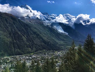
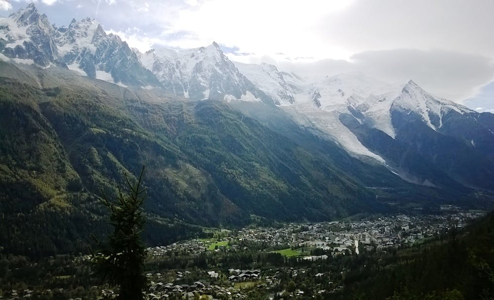
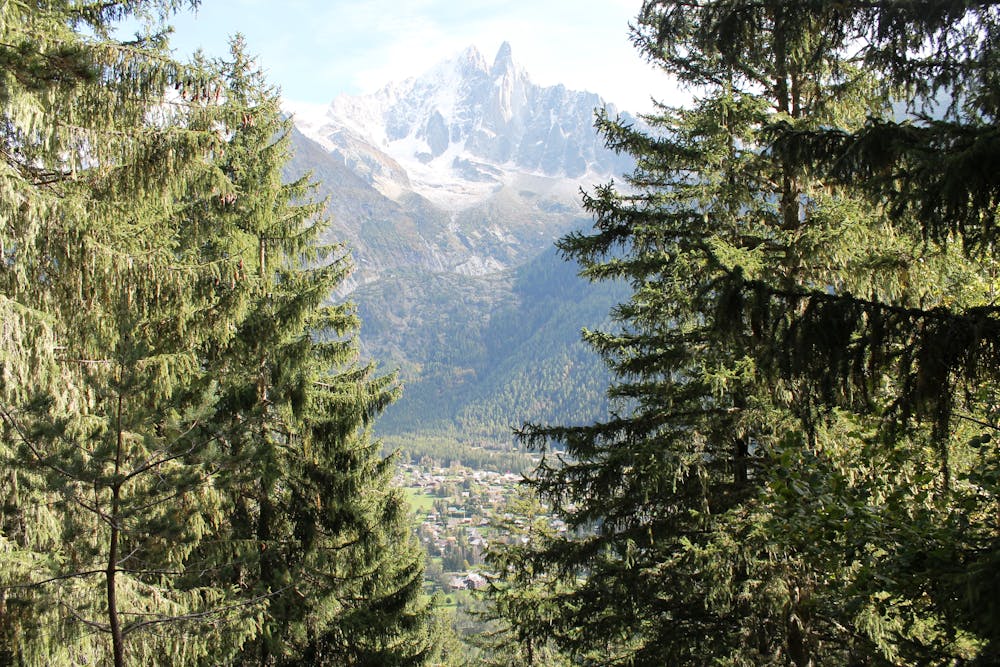
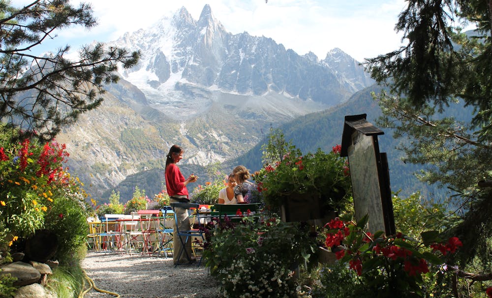
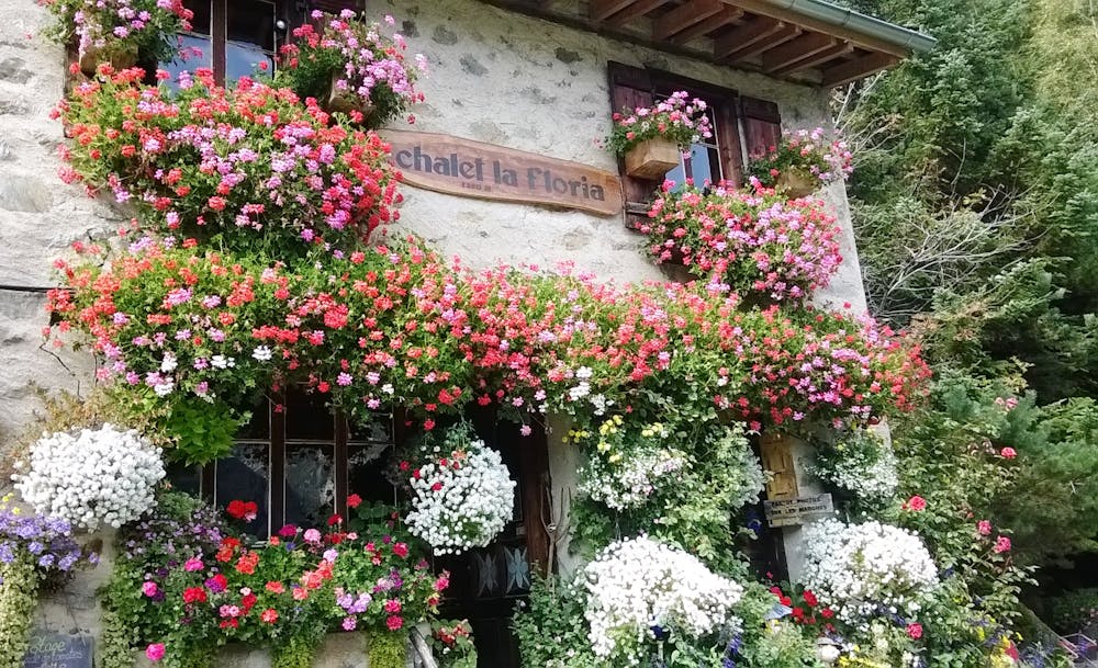
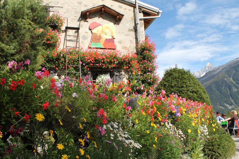
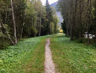
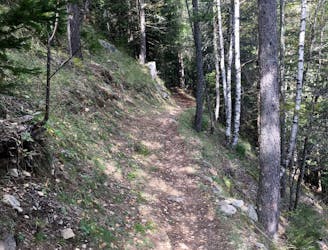
A short and pleasant hike up to a picturesque little mountain hut.
Hiking Moderate

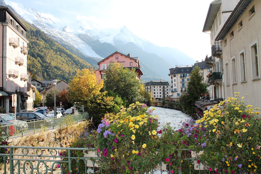
From Chamonix town centre, head north out of town on the Rue Joseph Vallot street to reach the foot of the Rue Mummery, 600 metres from the town square. Turn left up this and follow it gently uphill for 200 metres to a mini roundabout. Turn right onto Route des Nants and follow this for 350 metres to where the Chemin de la Floriaz branches off left. Take this and 100 metres later it turns into a jeep track. Keep following it as it gradually narrows into a path. It climbs through the trees for 200 vertical metres and then reaches a junction, where La Floria is clearly signposted off to the left. Go left and continue for 80 more vertical metres to reach the Buvette (French for a drink stop) at 1337 metres. Grab a seat and a drink and enjoy the view! On the way back down, return to the junction and go left, towards Les Tines. Traverse on this path for 1.5 kilometres until you are under the cables of the Flégère cable car. Turn right here and head downhill, signposted for Les Praz. Descend to the river Arve and follow a path to the south of it that leads over 2 flat kilometres back to Chamonix.
Moderate
Hiking along trails with some uneven terrain and small hills. Small rocks and roots may be present.
530 m away
A classic loop around the Chamonix Valley.
Moderate Hiking
684 m away
The easiest hike in Chamonix.
Easy Hiking
1.9 km away

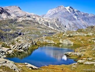
Escape the crowds at Lac Blanc by hiking to Lac Cornu instead.
Severe Hiking
2.3 km away
A short loop on one of the best sections of the Petit Balcon Sud trail.
Moderate Hiking
2.8 km away

Day 1: A gentle downhill day on the sun-kissed south-facing slopes of the Brévent peak.
Moderate Hiking
2.8 km away

Circumnavigate the iconic Mont Blanc massif on this epic multi-day route.
Severe Hiking
2.9 km away
Packed with incredible views—likely the best bang-for-your-buck hike in Chamonix!
Difficult Hiking
3.7 km away
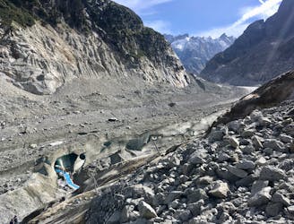
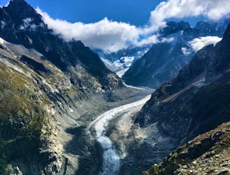
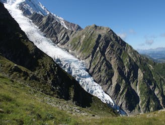
A must-do visit to an ice cave carved in the Mer de Glace glacier.
Easy Hiking
3.8 km away
A famous hike which was the starting point for Jacques Balmat and Michel Paccard when they made the first ascent of Mont Blanc in 1786.
Difficult Hiking
4.1 km away
Hike to Lac Blanc from La Flegere on one of Chamonix's most famous hikes!
Difficult Hiking

6 routes · Hiking

14 routes · Hiking

5 routes · Hiking

12 routes · Hiking

10 routes · Hiking