Jim 50 till Poco Loco

Jims 50 års gavekort
Moderate Hiking
- Distance
- 74 km
- Ascent
- 5.4 km
- Descent
- 5.2 km
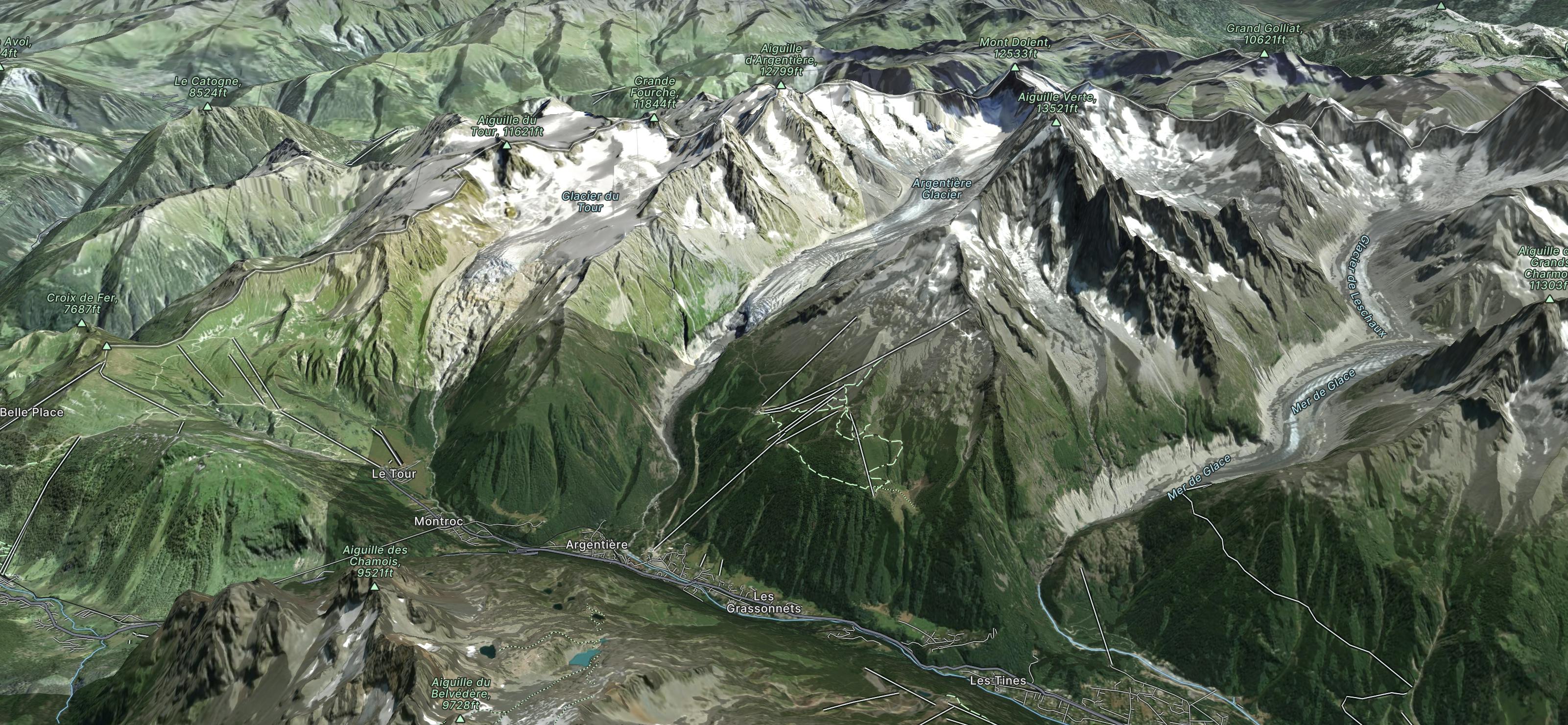
Explore Les Grands Montets with curated guides of the best hiking trails, ski routes, and more. With over 58 3D trail maps in FATMAP, you can easily discover and navigate the best trails in Les Grands Montets.
No matter what your next adventure has in store, you can find a guide on FATMAP to help you plan your next epic trip.
Get a top trail recommendation in Les Grands Montets from one of our 11 guidebooks, or get inspired by the 58 local adventures uploaded by the FATMAP community. Start exploring now!
Jims 50 års gavekort
Moderate Hiking

A classic winter route on the north face of the Petit Dru
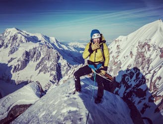
Extreme Alpine Climbing

Hikes in the Chamonix valley
Moderate Hiking
A 57km route that starts in Orsières and finished in Chamonix Un parcours de 57 km qui débute à Orsières et se termine à Chamonix.
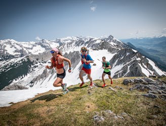
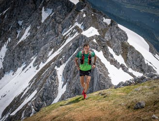
Extreme Trail Running
From Martigny-Croix in Switzerland to Chamonix De Martigny-Croix en Suisse à Chamonix
Extreme Trail Running
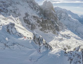
Chevalier Couloir is uber steep, and should only be attempted in the best snow conditions.
Extreme Freeride Skiing
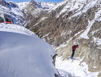
Glacier crossings and great freeride from the Aiguille des Grands Montets
Moderate Freeride Skiing
Climbing Aiguille Verte, Grande Rocheuse and Aiguille du Jardin via the Couturier couloir with David Goettler in order to climb all of the 4000m peaks of the Alps
Difficult Hiking

The first day of the Grand Lui variation.
Difficult Ski Touring

45 uphill turns is pretty charming, isn't it? Behind this figure is a more welcoming itinerary than it seems on the first slopes of the impressive Mont Blanc massif.
Difficult Resort Ski Touring