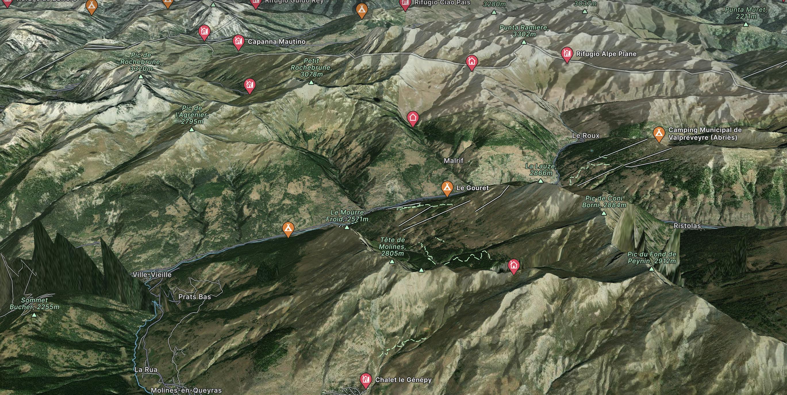
Maljasset to Aiguille
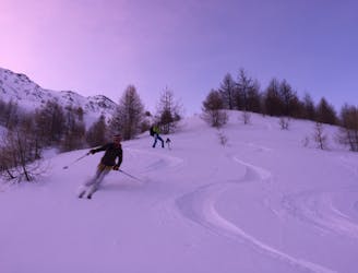
A long journey up the Ubaye valley and a succession of cols through the Queyras
Difficult Ski Touring
- Distance
- 36 km
- Ascent
- 2.5 km
- Descent
- 2.9 km
Explore Aiguilles with curated guides of the best routes. With over 4 3D trail maps in FATMAP, you can easily discover and navigate the best trails in Aiguilles.
No matter what your next adventure has in store, you can find a guide on FATMAP to help you plan your next epic trip.
Get a top trail recommendation in Aiguilles, or get inspired by the 4 local adventures uploaded by the FATMAP community. Start exploring now!
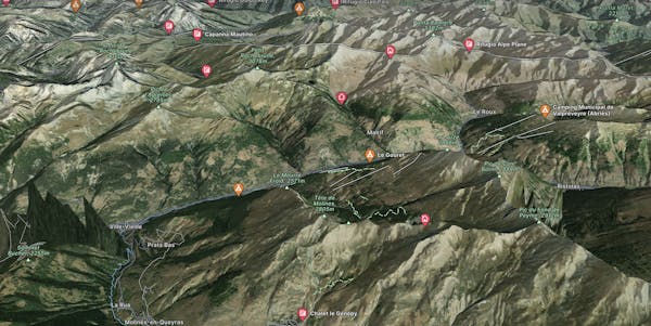
A long journey up the Ubaye valley and a succession of cols through the Queyras
Difficult Ski Touring

Day 4
Difficult Gravel Biking

day 3
Difficult Gravel Biking

See you at the exit of the woods! This sporting itinerary from Les Aiguilles is a direct route to the top of the treeless resort. A little something extra: a training park for the use of DVAs at the Aiguille.
Difficult Resort Ski Touring