7.8 km away
Col le Queyrellet
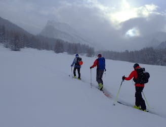
A classic line from the Ceillac ski station
Moderate Ski Touring
- Distance
- 11 km
- Ascent
- 955 m
- Descent
- 955 m

A long journey up the Ubaye valley and a succession of cols through the Queyras
Also in Hautes-Alpes, France
Ski Touring Difficult

We did this as a very long day, but you could easily split it in a couple of places if needed, though that would make a predominantly uphill day. For several hours to start with you are following the remote, increasingly wild Ubaye valley to its upper stretches, with little chance of company.
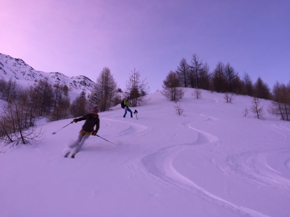
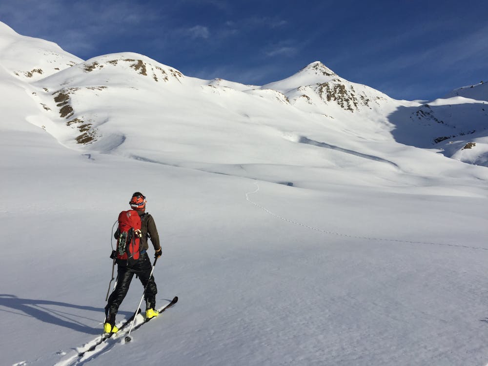
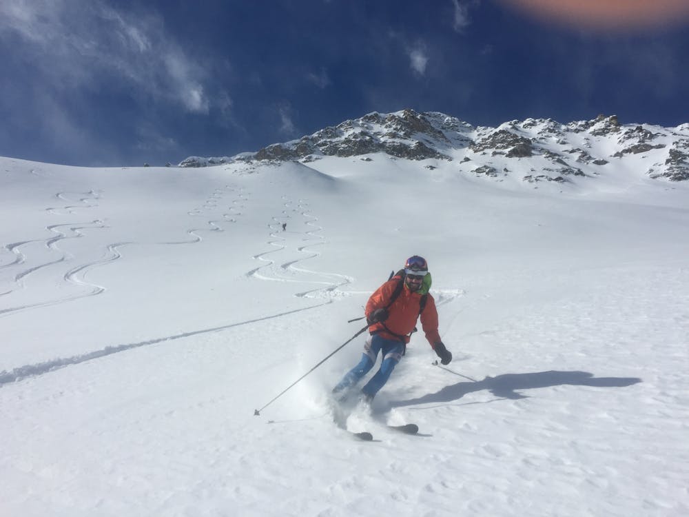
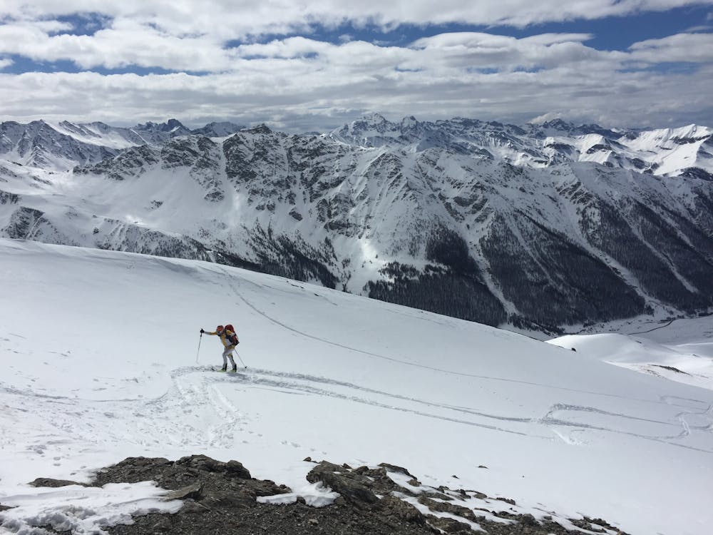
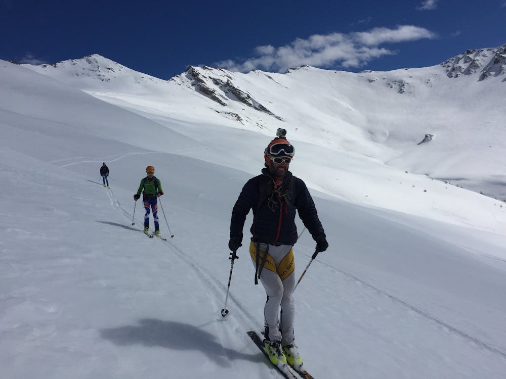
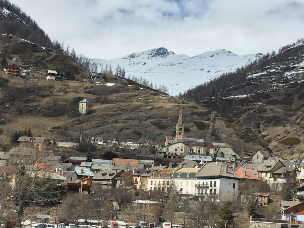
The col you take to access the Queyras is the Col de la Noire at 2955m. The ski down is N facing the far side, hopefully on good cold snow on odd steepish pitches. You will probably begin to see other tracks from the popular nearby Blanche Hut, possibly even stay there.
The easiest continuation is to ski down to near the Chapelle de Clausis, where you then head up to the Col de Longet at 2701m. You are now firmly in more popular ski touring terrain, accessible from nearby lifts. Many folk come here from Saint-Véran, another possible stopping point for the night if you wanted to split this day. The far side of the Col de Longet is a beautiful N facing mellow descent, losing yourself in well-spaced trees in the lower stretches. Only one climb to go but it’s another big one, up to the Pic du Fond de Peynin at 2912m, or to the higher summit to its S.
It's all downhill now, weaving through a bizarre collection of dilapidated ironmongery, from the days gone by when ski lifts used to turn here. You’ll probably find yourself walking the last section down to Aiguille, which feels like a sleepy backwater in the spring.
Difficult
Serious gradient of 30-38 degrees where a real risk of slipping exists.
7.8 km away

A classic line from the Ceillac ski station
Moderate Ski Touring