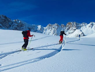
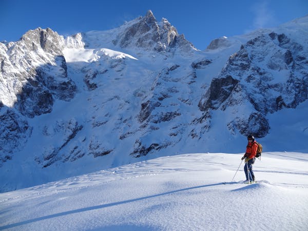
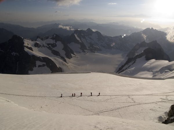
Pointe des Signes Longues
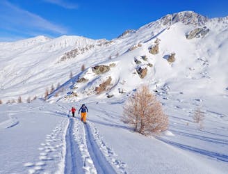
A classic ski tour in the Queyras
Moderate Ski Touring
- Distance
- 13 km
- Ascent
- 1.1 km
- Descent
- 1.1 km

Explore Briançon with curated guides of the best hiking trails, mountain bike trails, ski routes, and more. With over 97 3D trail maps in FATMAP, you can easily discover and navigate the best trails in Briançon.
No matter what your next adventure has in store, you can find a guide on FATMAP to help you plan your next epic trip.
Get a top trail recommendation in Briançon from one of our 8 guidebooks, or get inspired by the 97 local adventures uploaded by the FATMAP community. Start exploring now!

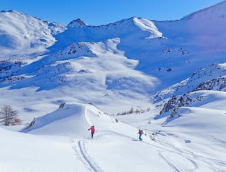
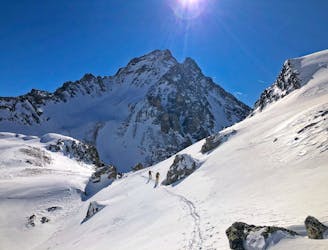
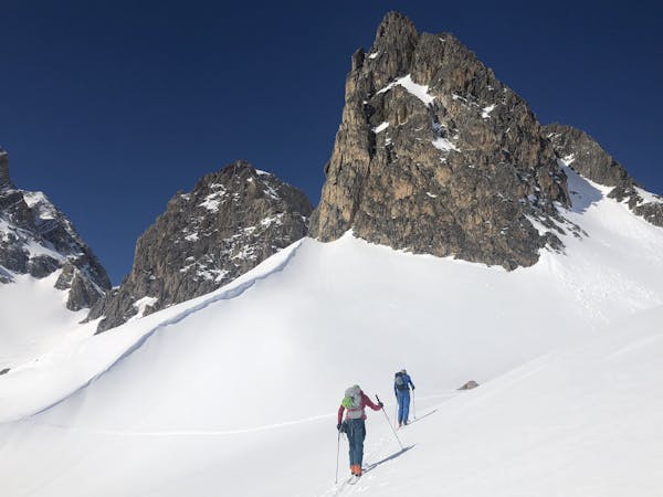
A classic ski tour in the Queyras
Moderate Ski Touring
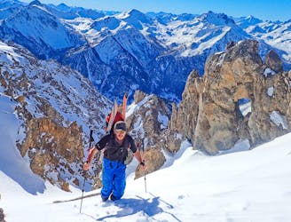
An interesting line with face and tree skiing.
Difficult Ski Touring
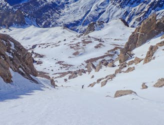
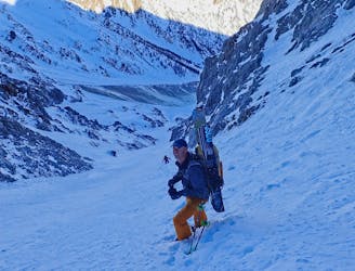
A stunning line, the couloir is great skiing.
Severe Ski Touring
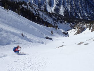
A great couloir that is quick to access, with cool skiing.
Severe Ski Touring
A really nice easier line, perfect for those new to ski touring. But a big day out as well.
Moderate Ski Touring
A long traverse for a cool couloir.
Severe Ski Touring
A local classic couloir, a must for any steep skier.
Severe Ski Touring
Featuring some coool gully skiing, this is a fun tour.
Difficult Ski Touring
7 routes · Ski Touring
4 routes · Ski Touring
10 routes · Freeride Skiing

50 routes · Freeride Skiing · Ski Touring

15 routes · Freeride Skiing · Ski Touring
4 routes · Ski Touring

3 routes · Hiking
6 routes · Alpine Climbing · Hiking