20 m away
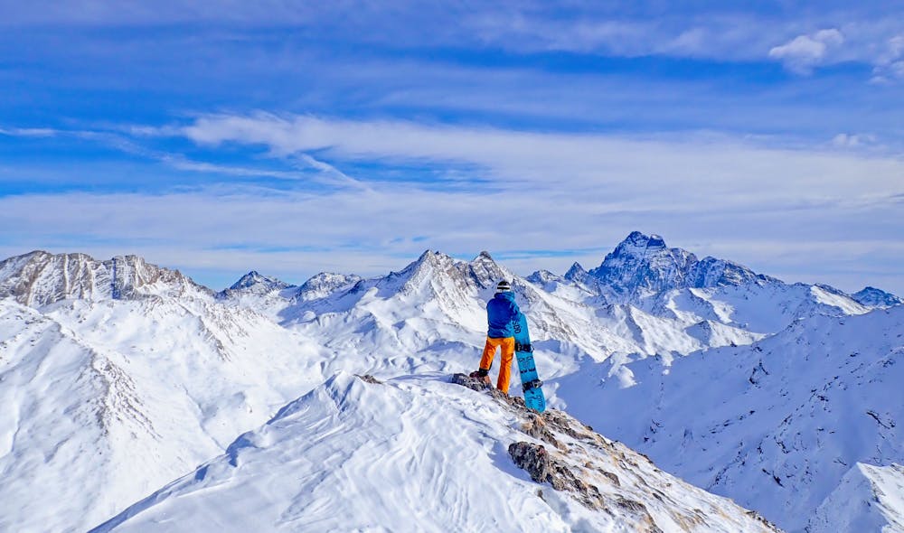
Château Renard – Couloir Nord
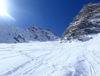
A classic couloir in the Queyras.
Severe Ski Touring
- Distance
- 5.8 km
- Ascent
- 882 m
- Descent
- 882 m
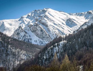
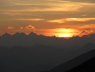
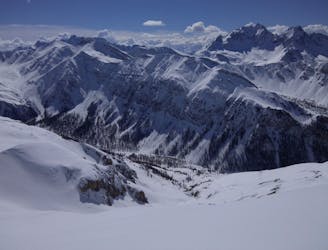
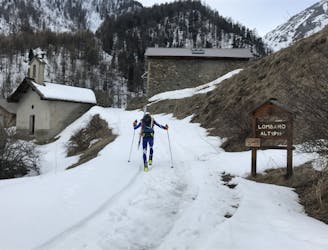
A classic ski tour in the Queyras
Ski Touring Moderate

A beautiful ski up up a stunning valley, to one of the higher peaks in the Queyras with great views and a flowing ski back down. From the parking where the road ends, take the ski de fond track up the road, turning off south just before the Bergerie des Tioures, then drop down to the river and cross a small (thin) bridge.
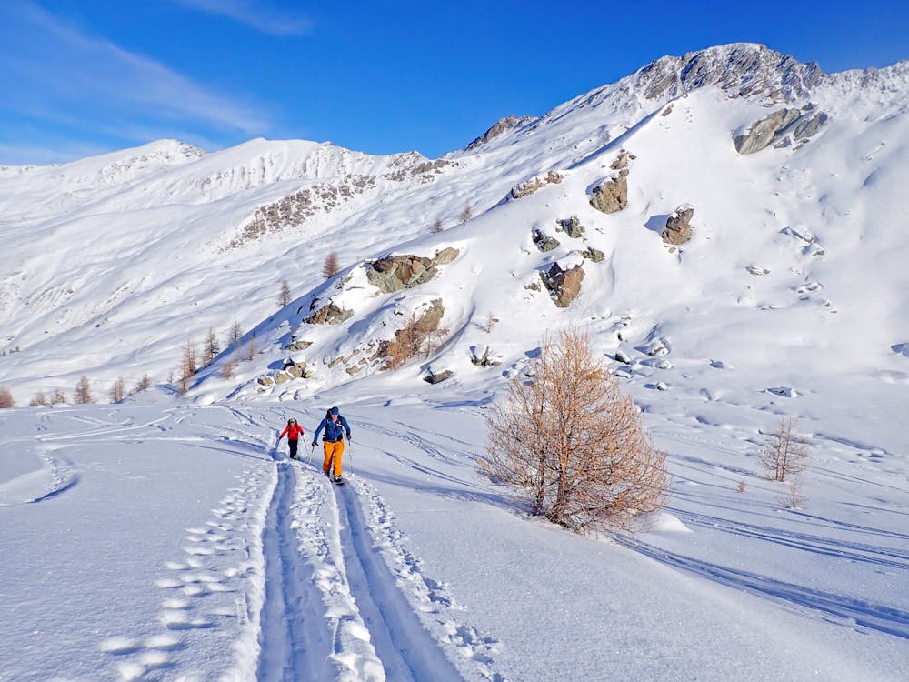
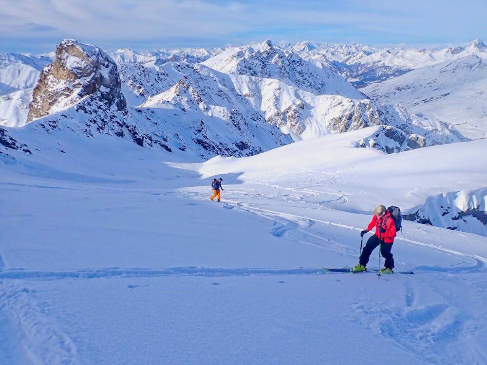
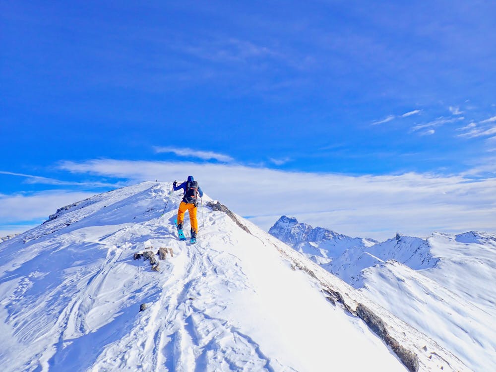
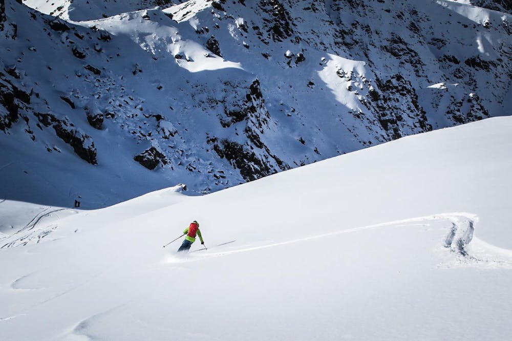
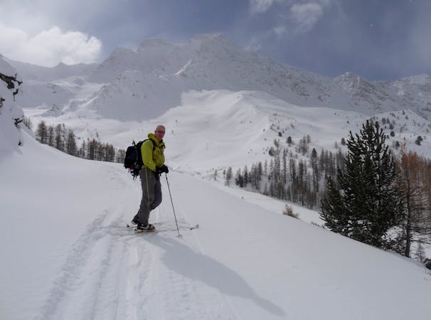
From there climb the slope and through the trees following the Torrent de Clausis to where the high valley opens out. Bear towards the right side of the Pic de Cornivier and then cut across underneath it. Climb the steepening slopes up until you reach a diagonal ramp trending to the summit of the Pointe des Sagnes Longues. You have the choice to climb quickly to the ridge and follow that to the top, or ascend the ramp and going up the ridge later on.
Ski back along the ridge and drop off on to the ramp, (make sure you don’t do this too early). Ski down the ramp and the steeper slopes, care is needed at the bottom as there some later sections and hollows that you don’t want to get stuck in. Follow the Torrent de Clausis back through the tress and to the bridge, where a short climb sees you back on the ski du fond track. Then its just a case of keeping your speed up for the flatter sections to make it back to the parking.
Moderate
Slopes become slightly steeper at around 25-30 degrees.

Exposure is limited to that of the slope itself. Getting hurt is still likely if the slope is steep and/or the snow is hard.

Away from help but easily accessed.
20 m away
A classic couloir in the Queyras.
Severe Ski Touring
25 m away
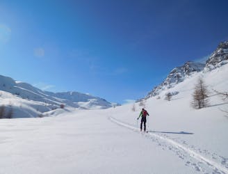
An easy ski tour which makes for a perfect starter tour.
Easy Ski Touring
1.7 km away
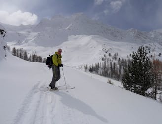
A classic couloir combined with epic views make this a classic day.
Difficult Ski Touring
4.5 km away
A classic traverse with amazing skiing
Difficult Ski Touring
6.2 km away
4 cols in 2 countries and some great skiing around a stunning mountain!
Difficult Ski Touring
6.2 km away
A long and rewarding day which can be shortened if required.
Difficult Ski Touring
6.5 km away
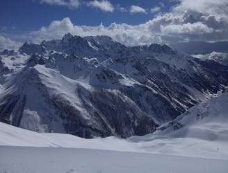
A gorgeous day, the highlight of which is a lovely north facing bowl beneath the Pointes des Sagnes Longues.
Difficult Ski Touring
7.5 km away
Remote valleys with lovely N facing descents, increasingly busy towards your destination
Moderate Ski Touring
4 routes · Ski Touring