20 m away
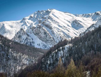
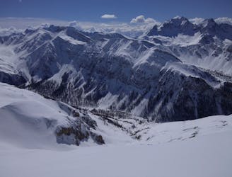
Pointe des Signes Longues
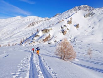
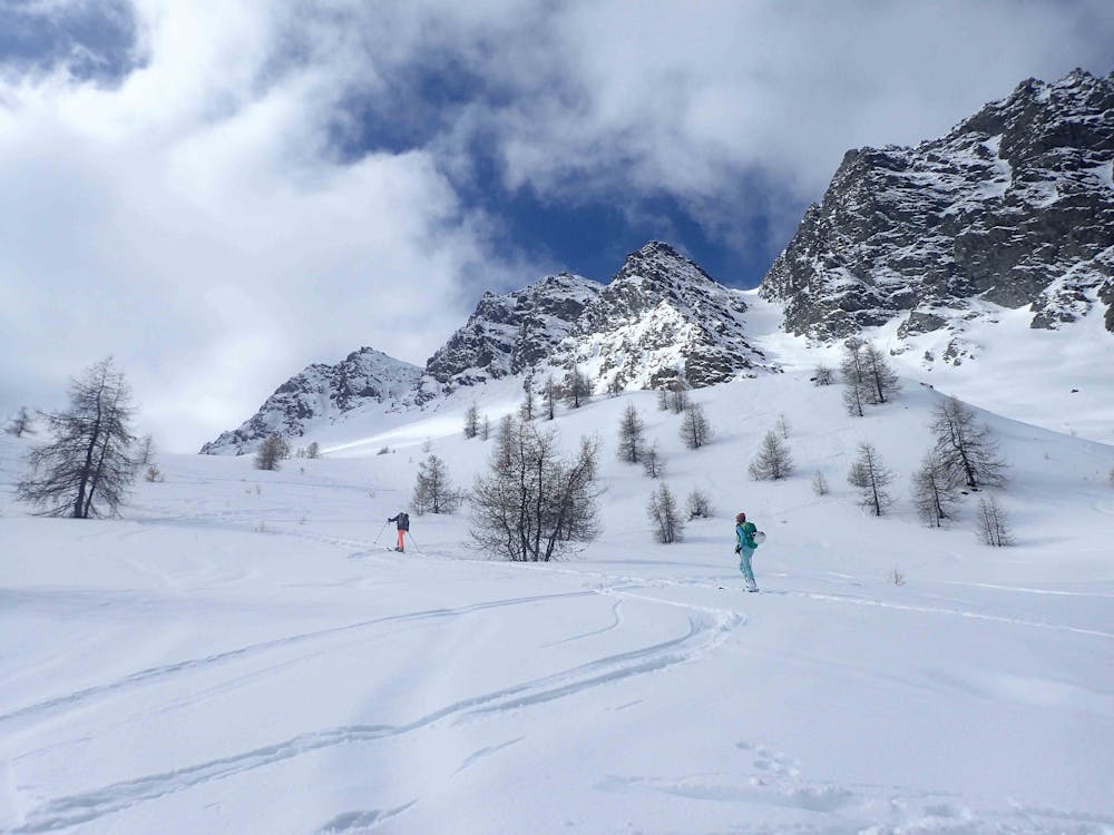
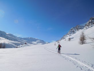
A classic ski tour in the Queyras
Moderate Ski Touring
- Distance
- 13 km
- Ascent
- 1.1 km
- Descent
- 1.1 km
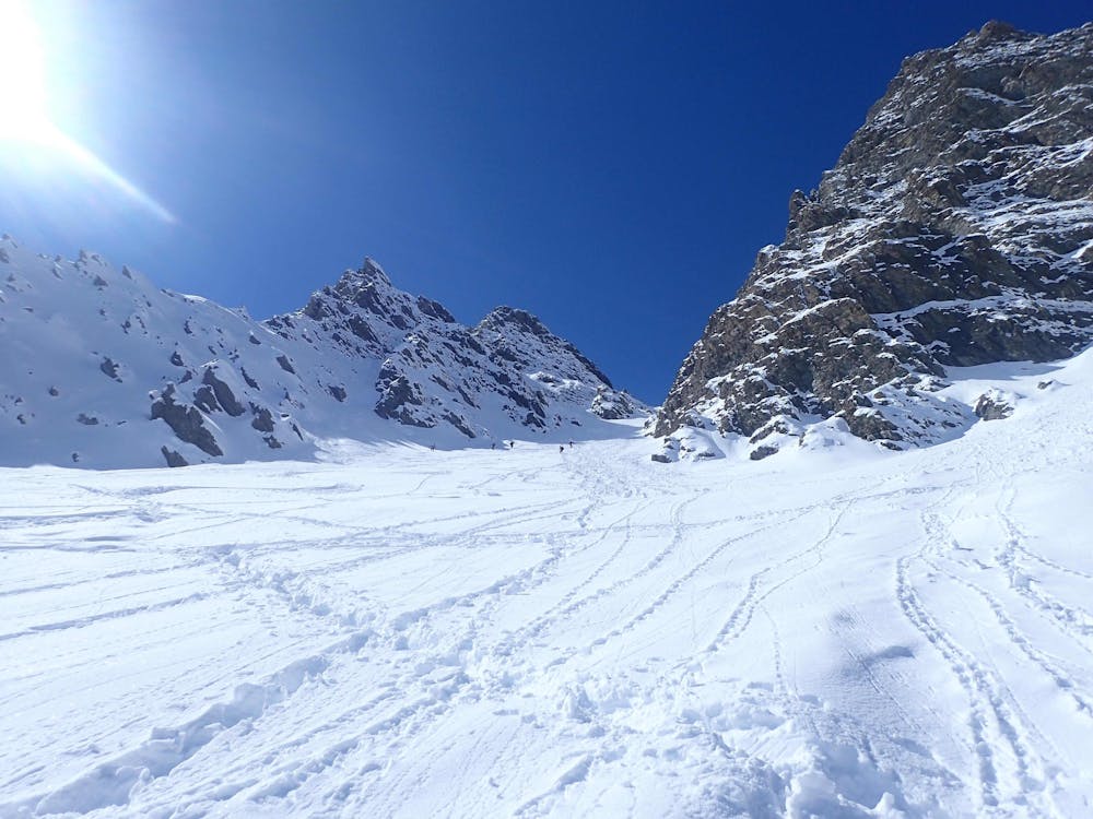
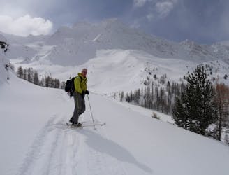
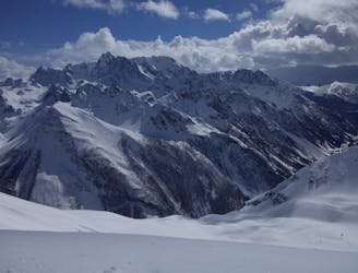
A classic couloir in the Queyras.
Ski Touring Severe

One of the better known couloirs in the Queyras, this is a classic for good reason. It's quick and easy to access and features some stunning skiing. From the parking cross the bridge and follow the ski de fond track south east. Break off from the track on the right (south) towards the 2158m height. You head through a small band of trees and then continue to head up the Longet valley. You climb up though a bigger section of trees until the valley starts to opens up. After it opens up you will see the Château Renard Couloir Nord on your right, its the biggest of the couloirs there and quite obvious. Make you way to the bottom of the couloir and start to climb it. It gets a little steep near the top. From the top of the couloir you can climb to the Pic de Château Renard: or just descent from the top of the couloir itself.
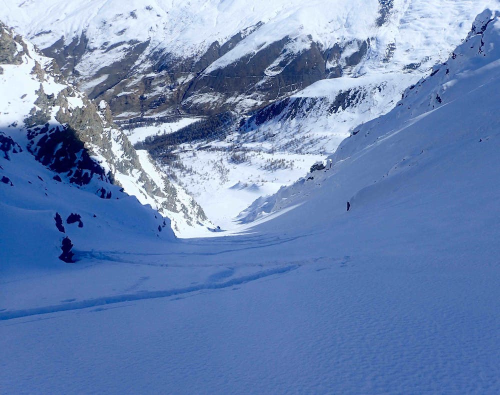
Descend the couloir and then back through the trees, normally if you stay a little to skiers left the trees are a little more open and easier to ski. Once through the trees you hit and open area descend this back to the ski du fond track. There is a mix of skiing and poling to get back to the parking. It can be accessed for the St Veran ski station but involved a climb and then a bit of a faff to get back round to resort.
Severe
Steep skiing at 38-45 degrees. This requires very good technique and the risk of falling has serious consequences.

As well as the slope itself, there are some obstacles (such as rock outcrops) which could aggravate injury.

Close to help in case of emergency.
20 m away
A classic ski tour in the Queyras
Moderate Ski Touring
28 m away
An easy ski tour which makes for a perfect starter tour.
Easy Ski Touring
1.7 km away
A classic couloir combined with epic views make this a classic day.
Difficult Ski Touring
4.5 km away
A classic traverse with amazing skiing
Difficult Ski Touring
6.2 km away
4 cols in 2 countries and some great skiing around a stunning mountain!
Difficult Ski Touring
6.2 km away
A long and rewarding day which can be shortened if required.
Difficult Ski Touring
6.5 km away
A gorgeous day, the highlight of which is a lovely north facing bowl beneath the Pointes des Sagnes Longues.
Difficult Ski Touring
7.5 km away
Remote valleys with lovely N facing descents, increasingly busy towards your destination
Moderate Ski Touring
4 routes · Ski Touring