4.1 km away
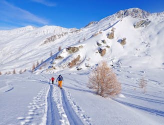
Queyras Traverse Day 1 - Saint Véran to the Refuge de la Blanche.
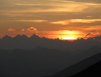
A classic couloir combined with epic views make this a classic day.
Difficult Ski Touring
- Distance
- 7.6 km
- Ascent
- 632 m
- Descent
- 933 m
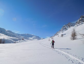
A classic traverse with amazing skiing
Ski Touring Difficult

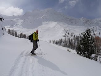
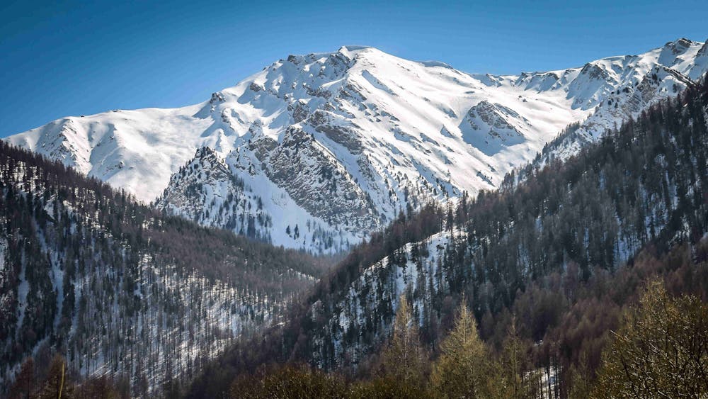
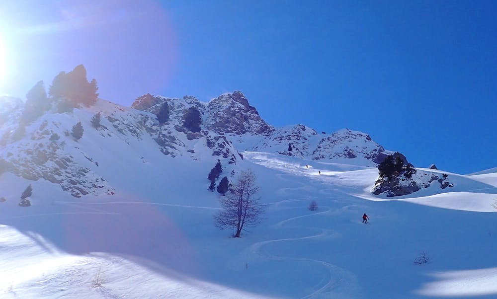
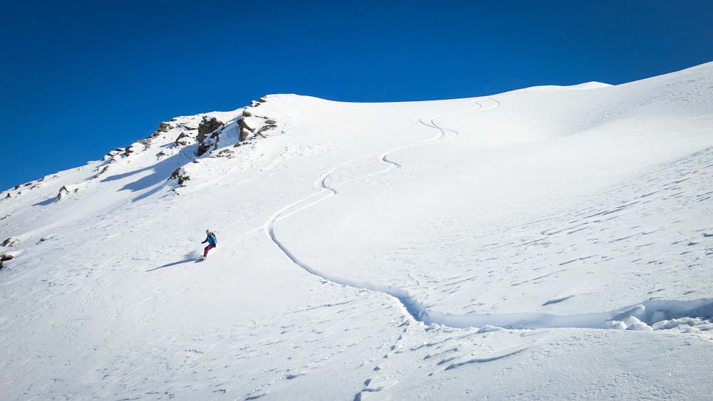
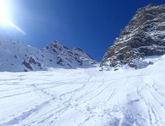
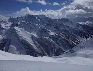
A peak with lots of amazing ski lines, you spot it as soon as you drive up the valley and it draws you in. The full traverse is the best route on it, and a cracking day out, but the other lines will become obvious when you are there.
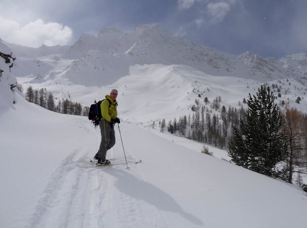
From the parking, follow the ski du fond track to the Torrent Rif de Chatelard. From here pick your way through the trees towards the Cabin de Lamaron, here you leave the trees and continue up the valley. Climb the steeper section to a col next to Pic Cascavelier, this is an easy ski tour in its own right. Climb the ridge to the summit of the Pointe des Marcelettes, the last section will probably be a boot pack to get to the summit.
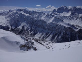
From the summit descend a short way down the shoulder to the west and then descend in in to the Chatelard valley, you drop in to a small bowl and then on to a bigger face. Traverse the face a short way then turn right on to steeper slopes. As you get to the bottom of the valley and the trees there is a water fall (frozen). Depending on snow levels you can ski to the left or right of it - it is obvious but you should still keep your eyes open for it. Once below the waterfall follow the torrent which is a fun little ski with twist and turns back to the ski du fond track and the parking.
Difficult
Serious gradient of 30-38 degrees where a real risk of slipping exists.

As well as the slope itself, there are some obstacles (such as rock outcrops) which could aggravate injury.
Away from help but easily accessed.
4.1 km away
A classic couloir combined with epic views make this a classic day.
Difficult Ski Touring
4.5 km away
A classic couloir in the Queyras.
Severe Ski Touring
4.5 km away
An easy ski tour which makes for a perfect starter tour.
Easy Ski Touring
4.5 km away
A classic ski tour in the Queyras
Moderate Ski Touring
8.1 km away

A classic line from the Ceillac ski station
Moderate Ski Touring
8.1 km away
Remote valleys with lovely N facing descents, increasingly busy towards your destination
Moderate Ski Touring
8.8 km away
A gorgeous day, the highlight of which is a lovely north facing bowl beneath the Pointes des Sagnes Longues.
Difficult Ski Touring
10 km away
4 cols in 2 countries and some great skiing around a stunning mountain!
Difficult Ski Touring
10 km away
A long and rewarding day which can be shortened if required.
Difficult Ski Touring
4 routes · Ski Touring