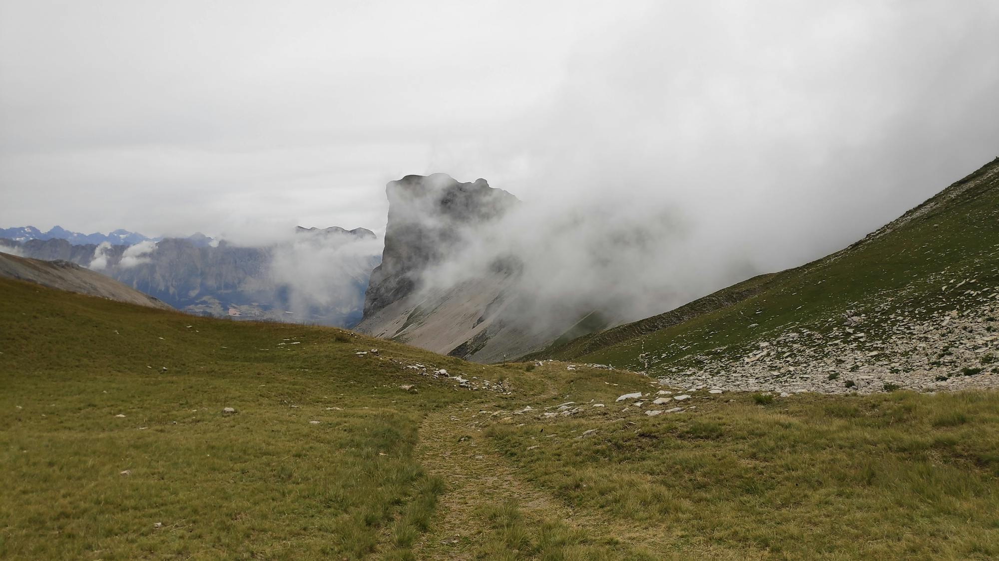
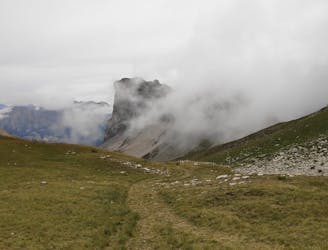
Bivouac Tour Ecrins

Beautiful hiking trip around the National Park of Les Ecrins
Difficult Hiking
- Distance
- 87 km
- Ascent
- 4.9 km
- Descent
- 4.6 km
Go hiking in Hautes-Alpes with curated guides of the best hikes across the region. With over 218 3D trail maps in FATMAP, you can easily discover and navigate the best trails in Hautes-Alpes.
No matter what your next adventure has in store, you can find a guide on FATMAP to help you plan your next epic trip.
Get a top hiking trail recommendation in Hautes-Alpes from one of our 11 guidebooks, or get inspired by the 218 local adventures uploaded by the FATMAP community. Start exploring now!
Beautiful hiking trip around the National Park of Les Ecrins
Difficult Hiking

Tour et ascension de 3 3000 dans les écrins en autonomie complète au départ de Prapic
Difficult Hiking
Aller-retour depuis Lachaup (05)
Difficult Hiking