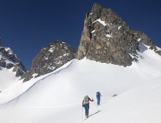
97 routes · Ski Touring · Mountain Biking · Hiking · Alpine Climbing
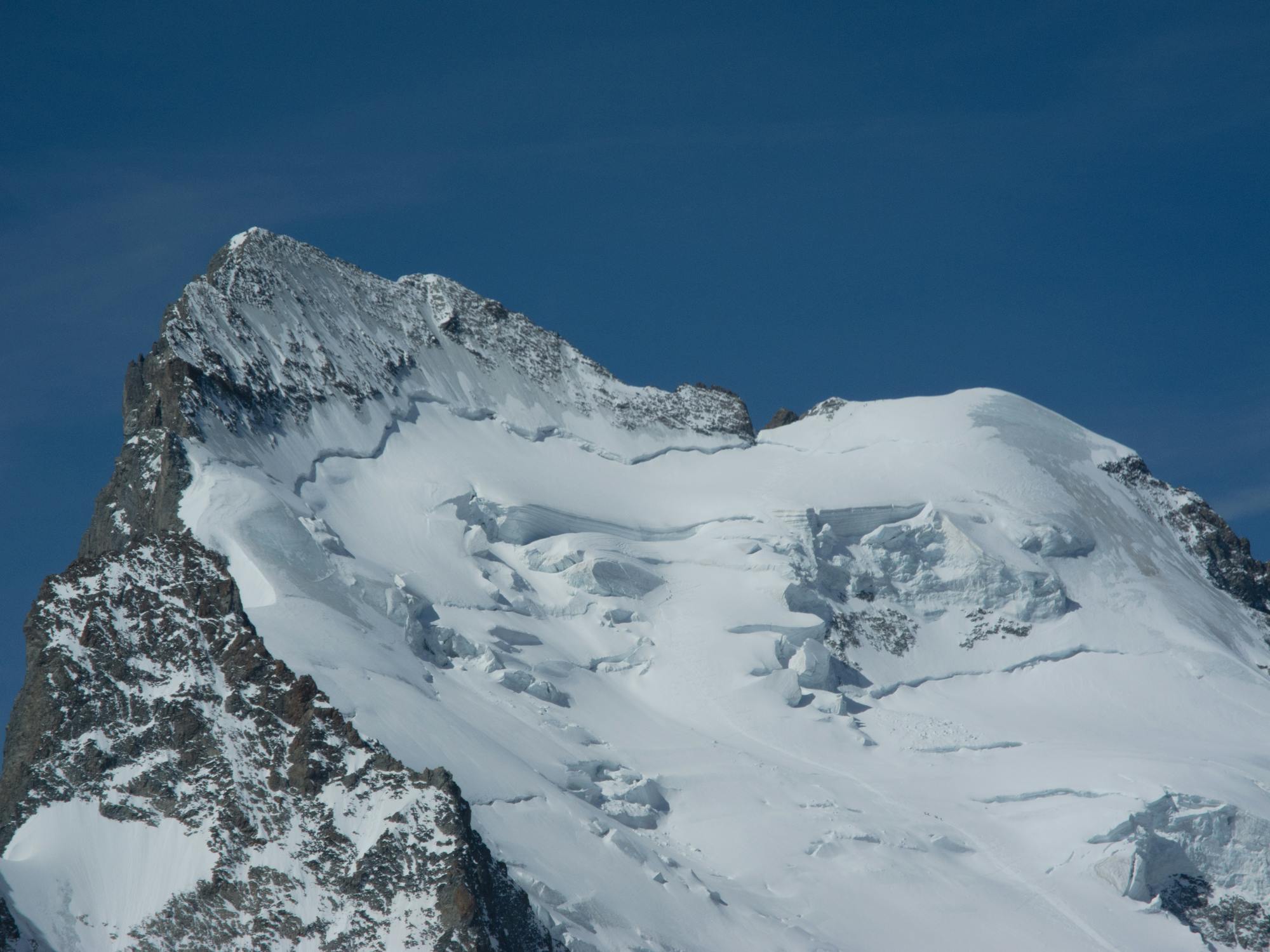
Go Alpine Climbing in Hautes-Alpes with curated guides of the best routes across the region. With over 219 3D trail maps in FATMAP, you can easily discover and navigate the best routes in Hautes-Alpes.
No matter what your next adventure has in store, you can find a guide on FATMAP to help you plan your next epic trip.
Get a top Alpine Climbing recommendation in Hautes-Alpes from one of our 11 guidebooks, or get inspired by the 219 local adventures uploaded by the FATMAP community. Start exploring now!


97 routes · Ski Touring · Mountain Biking · Hiking · Alpine Climbing
69 routes · Ski Touring · Hiking · Alpine Climbing · Trail Running
63 routes · Hiking · Ski Touring · Alpine Climbing
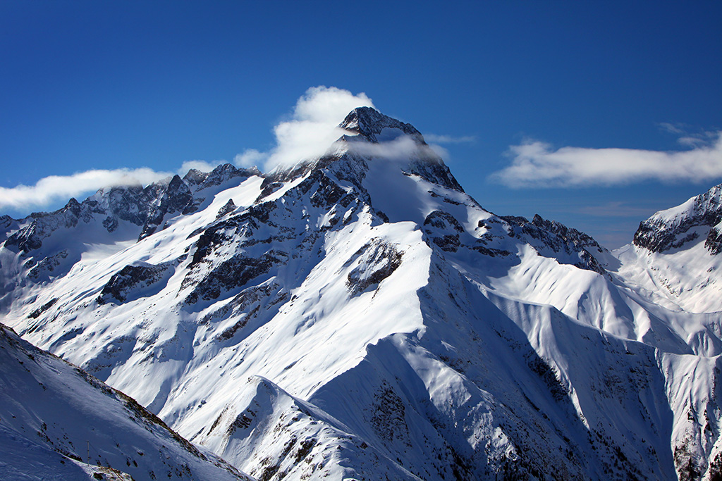
39 routes · Freeride Skiing

26 routes · Hiking
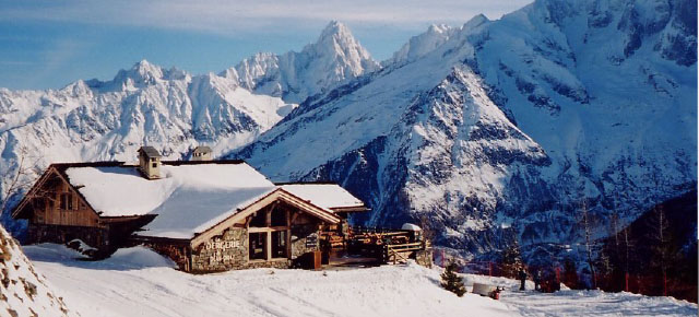
24 routes · Freeride Skiing

15 routes · Hiking

1 routes
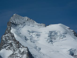
A classic mountaineering journey to the top of the most southerly 4000m peak in the Alps
Moderate Alpine Climbing
A long steep walk to a finely situated hut in full view of the obvious objective for many visitors
Easy Alpine Climbing
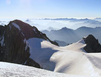
A classic route over one of the most photographed peaks in the area
Moderate Alpine Climbing
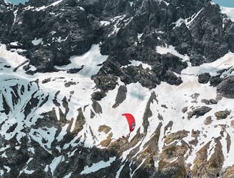
Combination of alpine climbing, Ebike and flying down. WARNING : don't follow our descent track as it is a paragliding track in the air
Severe Alpine Climbing
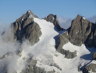
La Grande Ruine qui culmine à la Pointe Brevoort (3765 m) est une jolie course d’initiation en neige, assez courte depuis le refuge Planchard
Moderate Alpine Climbing
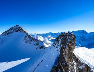
The skyline around the Goléon's lake. Plan it on 2 days. Try to don't be too late in th season because you'll need snow to melt and drink.
Difficult Alpine Climbing
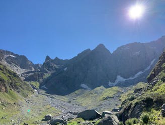
Circuit allowing to reach the summit of the peak jocelme (3458m) by leaving the refuge of Charbournéou
Moderate Alpine Climbing
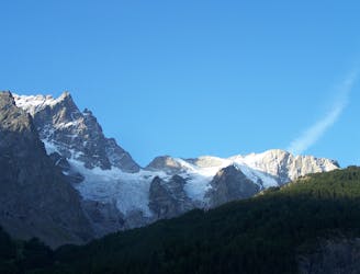
Bonne course d'initiation ou de perfectionnement aux techniques d'évolution en neige, glace et mixte selon les conditions. Se pratique quasiment toute l'année, excepté lorsque le rocher est plâtré
Moderate Alpine Climbing
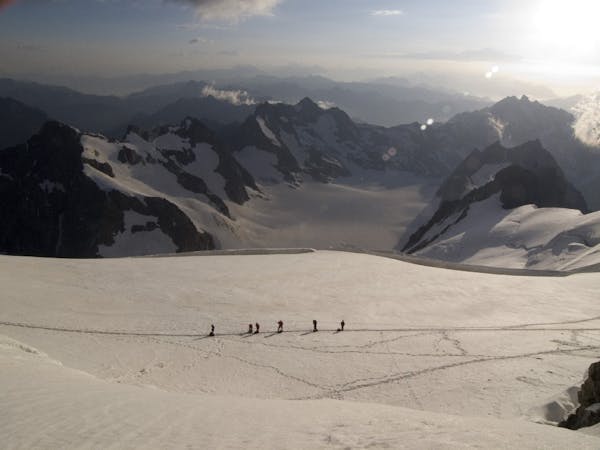
6 routes · Alpine Climbing · Hiking