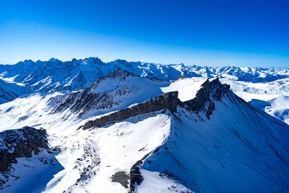
Skyline du Goléon
Briançon
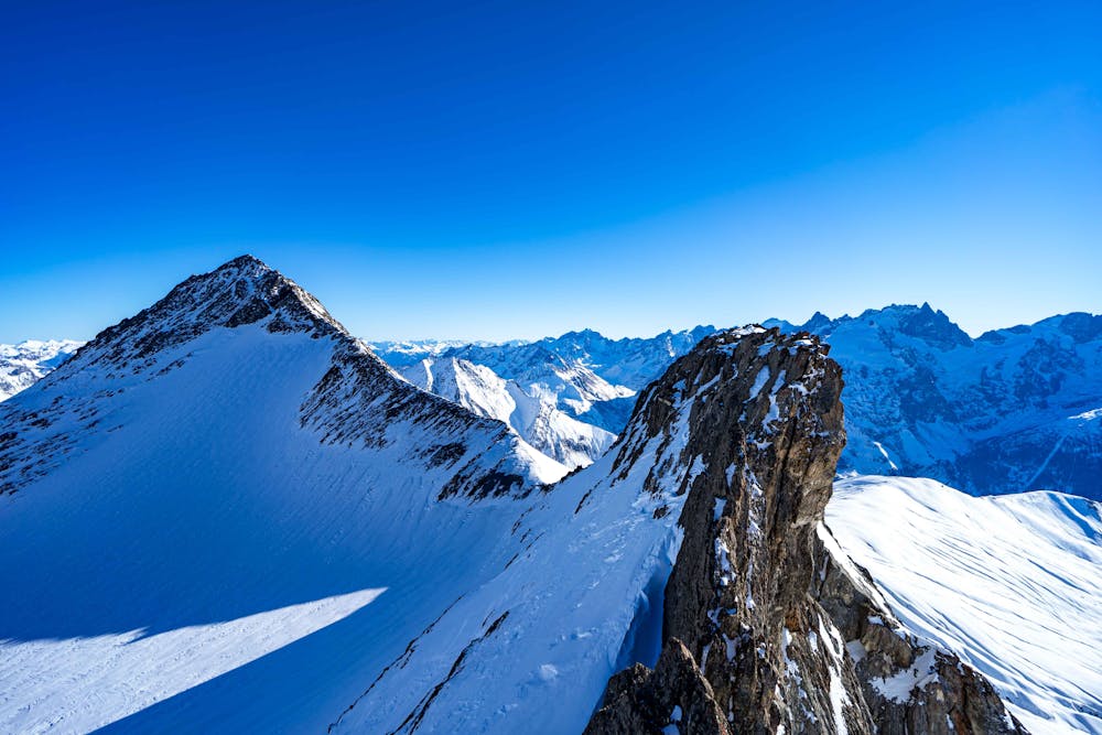
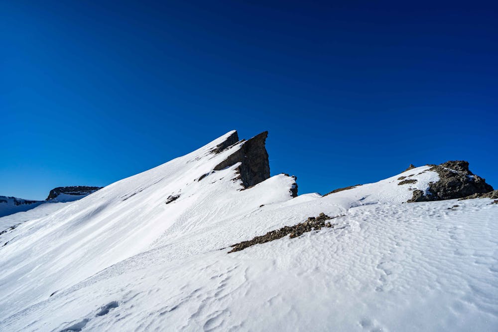
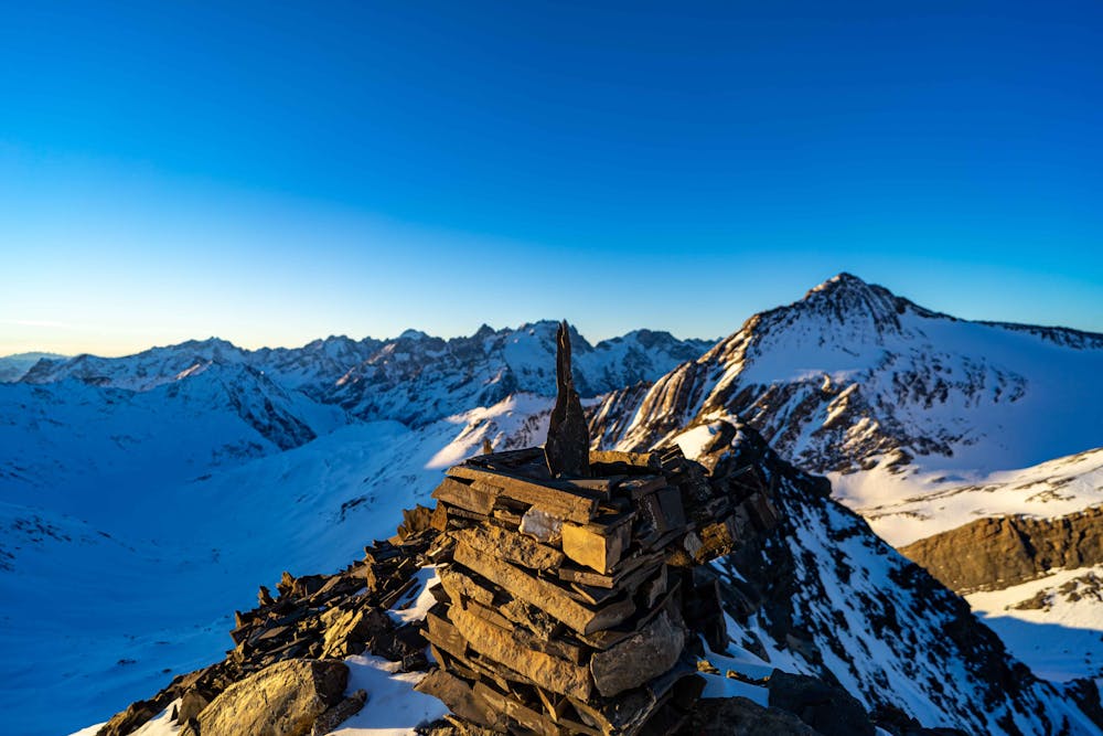
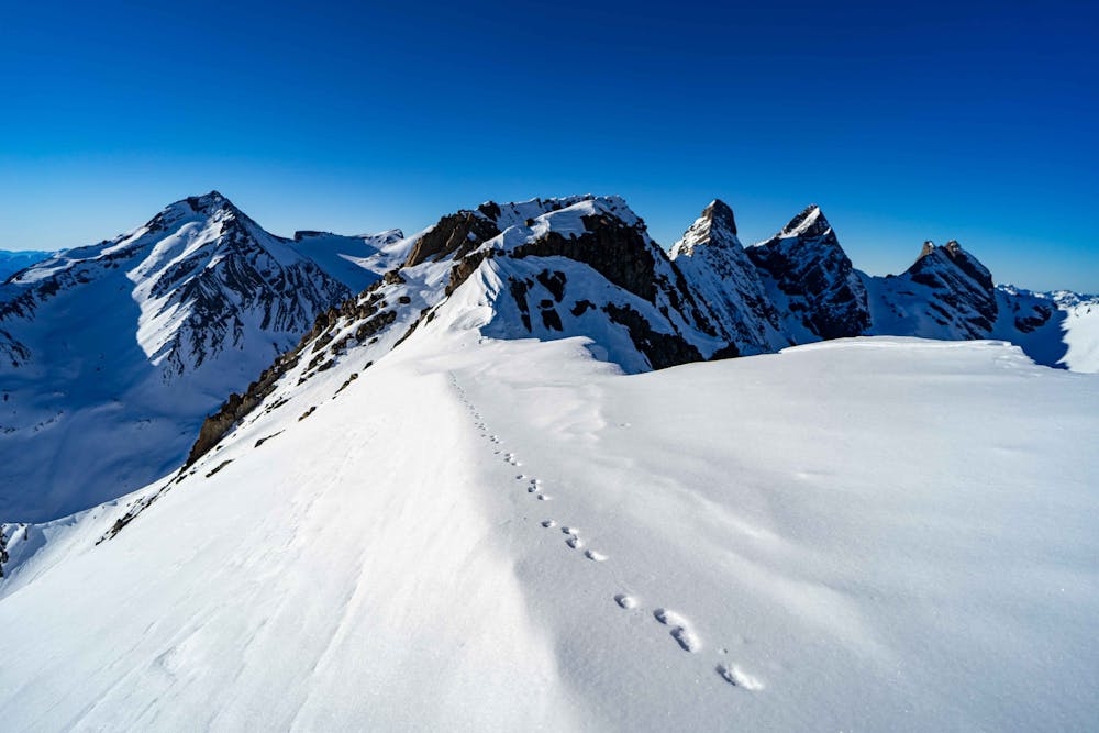
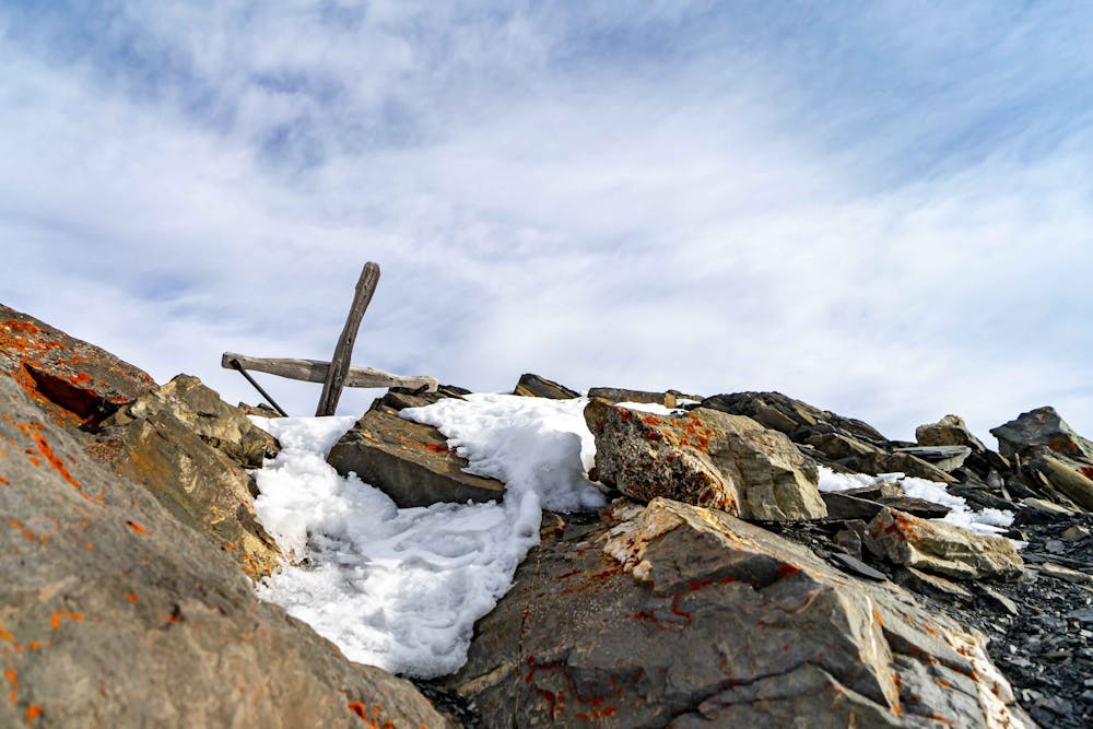
The skyline around the Goléon's lake. Plan it on 2 days. Try to don't be too late in th season because you'll need snow to melt and drink.
Alpine Climbing Difficult
- Distance
- 30 km
- Ascent
- 3.5 km
- Descent
- 3.5 km
- Low Point
- 1.8 km
- High Point
- 3.5 km
- Gradient
- 30˚

This is a popular alpine climbing route which is generally considered to be difficult. It's remote, it features medium exposure and is typically done between December and July. From a low point of 1.8 km to the maximum altitude of 3.5 km, the route covers 30 km, 3520 vertical metres of ascent and 3516 vertical metres of descent. You'll need ice axe, bivy kit, crampons, quickdraws and wires and friends to complete it safely.
- •
- •
- •
- •
- •
- •
Description
The skyline around the Goléon's lake. Plan it on 2 days. Try to don't be too late in th season because you'll need snow to melt and drink.
Difficulty
Difficult
The beginning of truly technical terrain which might involve pitched climbing on rock and/or ice, exposed terrain and complex route finding in ascent and descent. Equivalent to AD, AD+
Medium Exposure

The route features some exposed and/or difficult to protect sections.
Remoteness
Away from help but easily accessed.
Best time to visit
Equipment required
- Ice axe
- Bivy Kit
- Crampons
- Quickdraws
- Wires and Friends