6.8 km away
Les Bans, ENE Ridge
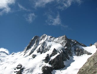
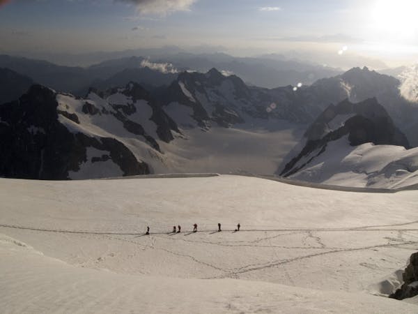
A fine and complex route on an isolated and beautiful mountain
Moderate Alpine Climbing
- Distance
- 7.4 km
- Ascent
- 1.2 km
- Descent
- 1.2 km
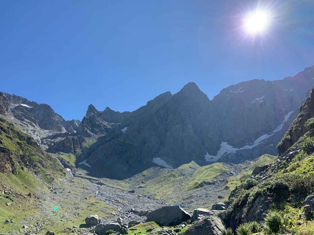
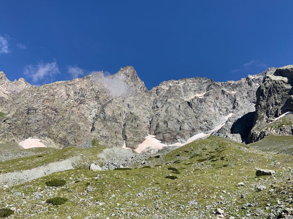
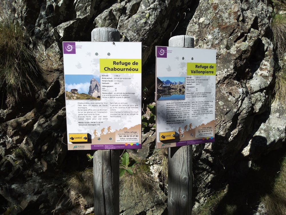
Circuit allowing to reach the summit of the peak jocelme (3458m) by leaving the refuge of Charbournéou
Alpine Climbing Moderate

This circuit to reach the summit of the peak jocelme (3458m), offers us a panorama on the view of the impressive summits of the valley such as the peak of bonvoisin, the glacier of charbournéou, the peak of the wolf, the breach of the heathers, the pass of sirac, the breaches of the reds, the point of jarroux, as well as the location of the ancient glacier as ancient moraine and the fauna and the flora This itinerary is made for alpine, nature and climbing enthusiasts. This mysterious place will offer you one of the most beautiful view from the summit, the view of the other big summits such as the Sirac, the rouies, and of course the bans with the view on the valley of valgaudemar.
Moderate
May involve slightly more complex glacier hikes, easy but possibly long rock ridges and steep snow up to 45 degrees. Equivalent to PD, PD+

The route features some exposed and/or difficult to protect sections.
Away from help but easily accessed.
6.8 km away
A fine and complex route on an isolated and beautiful mountain
Moderate Alpine Climbing
6 routes · Alpine Climbing · Hiking