Allevard-Monviso

Long distance, high altitude
Extreme Hiking
- Distance
- 253 km
- Ascent
- 16 km
- Descent
- 16 km
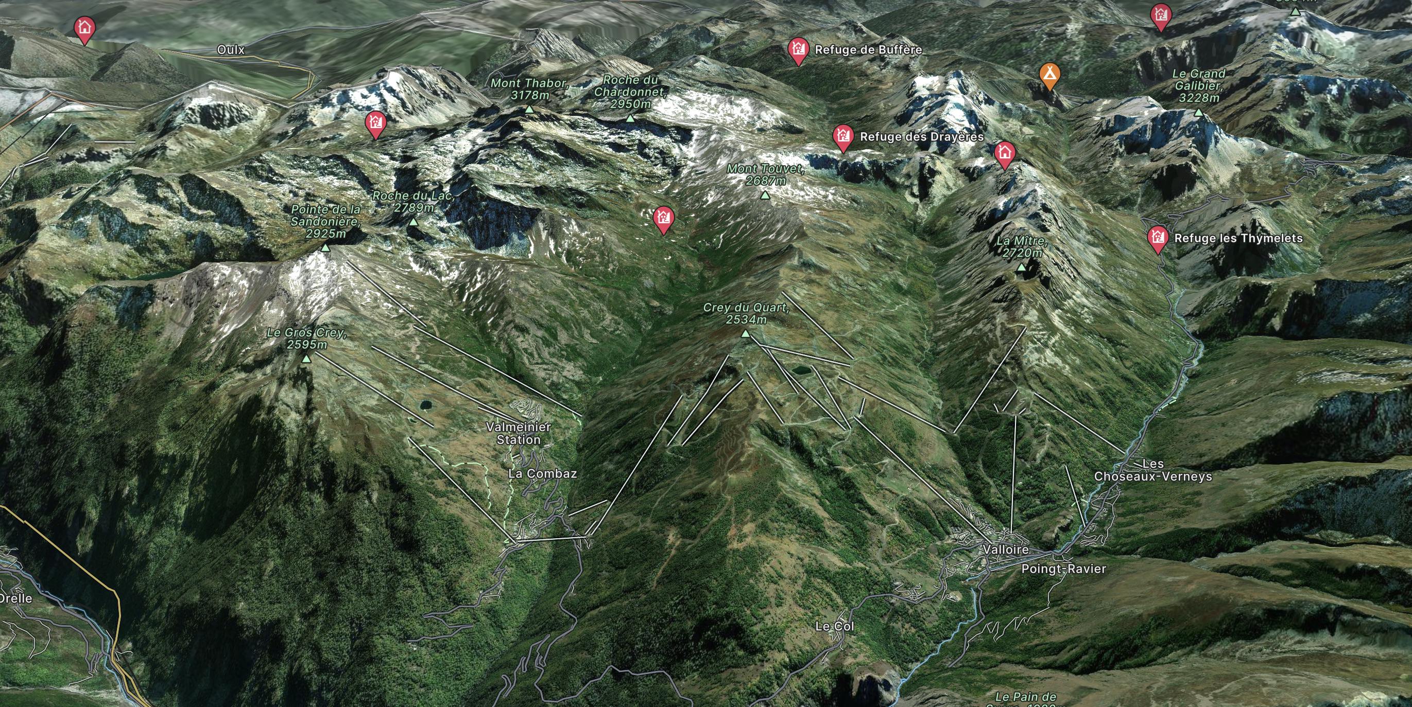
Explore Galibier Thabor with curated guides of the best routes. With over 3 3D trail maps in FATMAP, you can easily discover and navigate the best trails in Galibier Thabor.
No matter what your next adventure has in store, you can find a guide on FATMAP to help you plan your next epic trip.
Get a top trail recommendation in Galibier Thabor, or get inspired by the 3 local adventures uploaded by the FATMAP community. Start exploring now!
Long distance, high altitude
Extreme Hiking
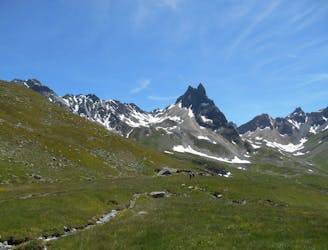
Parcours du trail du Thabor 2021
Difficult Trail Running

Ideal intermediate route to progress. The little bonus: the possibility to relax and also to change in the high altitude restaurant at the top of the hill.
Moderate Resort Ski Touring