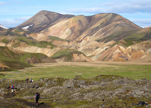
7 routes
Go hiking in Suðurland with curated guides of the best hikes across the region. With over 31 3D trail maps in FATMAP, you can easily discover and navigate the best trails in Suðurland.
No matter what your next adventure has in store, you can find a guide on FATMAP to help you plan your next epic trip.
Get a top hiking trail recommendation in Suðurland, or get inspired by the 31 local adventures uploaded by the FATMAP community. Start exploring now!


7 routes
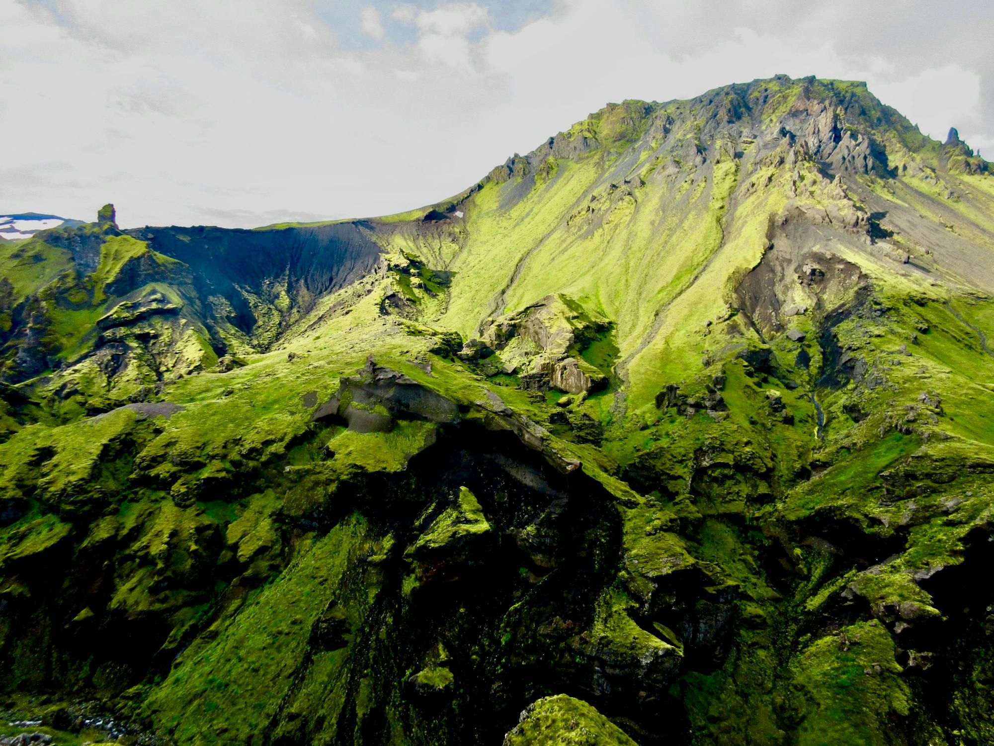
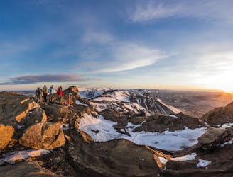
A wonderful and wild journey through the otherworldly terrain of southern Iceland.
Difficult Hiking
Short hike near Reykjavík. First part of the hike goes a long a road and mostly flat, once at the mountain it is quite steep and mostly scree and gravel. Some scrambling at the top.
Difficult Hiking

Van Kerlingarfjöll naar Landmannalaugar
Moderate Hiking

From Landmannalaugar to Þórsmörk in 3 days
Difficult Hiking

Hiking from Botnlangalón to Hólaskjól
Difficult Hiking

Route from Langisjór and Sveinstindur through Skælingar and to Hólaskjól
Moderate Hiking
Great short hike right outside of Reykjavik
Easy Hiking