8 routes

Explore Suðurland with curated guides of the best hiking trails, trail running routes, and more. With over 32 3D trail maps in FATMAP, you can easily discover and navigate the best trails in Suðurland.
No matter what your next adventure has in store, you can find a guide on FATMAP to help you plan your next epic trip.
Get a top trail recommendation in Suðurland, or get inspired by the 32 local adventures uploaded by the FATMAP community. Start exploring now!


8 routes

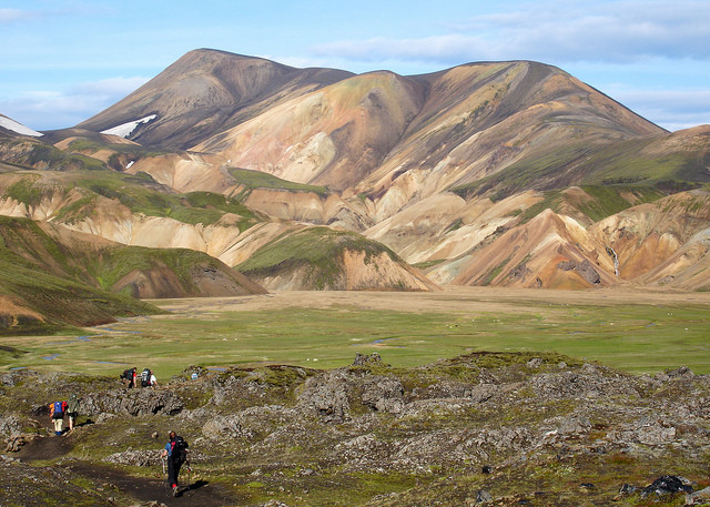
A wonderful and wild journey through the otherworldly terrain of southern Iceland.
Difficult Hiking

The fastest route from the south, Reel on my Instagram shows the area around
Difficult Ski Touring

Kerlingarfjöll ultra 12 km trail
Moderate Trail Running

Kerlingarfjöll ultra 22 km trail
Difficult Trail Running

Kerlingarfjöll 63 km ultra trail
Severe Trail Running

Nýidalur um náttúruundrið Vonarskarð yfir vatnaskilin og í Gjóstu á Norðurlandi
Difficult Trail Running

Leiðin frá Kistuöldu eftir Sprengisandsleið upp í skálann í Nýjadal
Moderate Trail Running

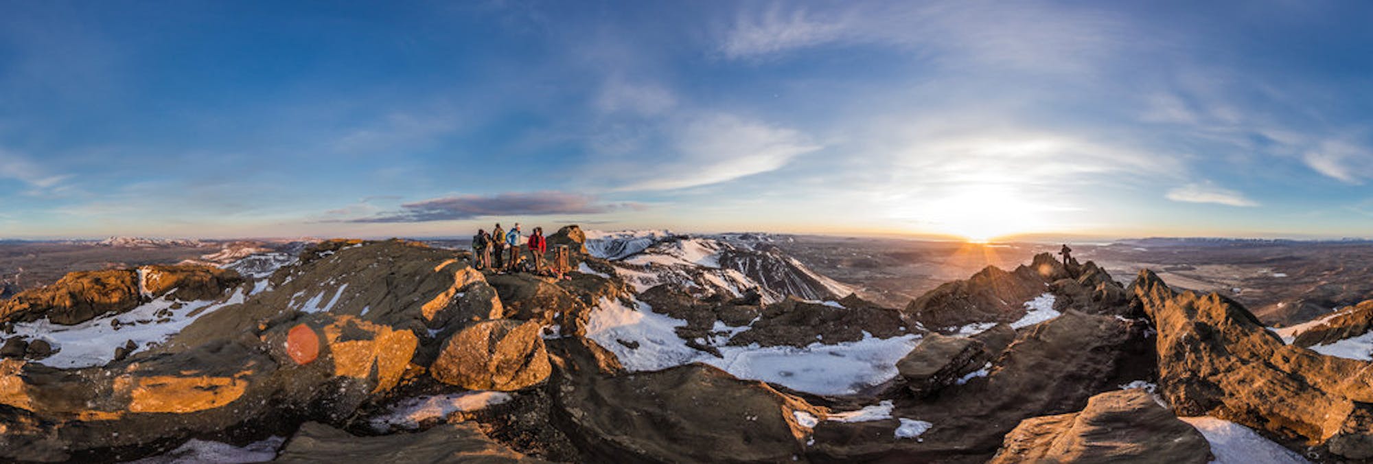
Short hike near Reykjavík. First part of the hike goes a long a road and mostly flat, once at the mountain it is quite steep and mostly scree and gravel. Some scrambling at the top.
Difficult Hiking