The Laugavegur Trail
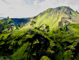
A wonderful and wild journey through the otherworldly terrain of southern Iceland.
Difficult Hiking
- Distance
- 53 km
- Ascent
- 2.4 km
- Descent
- 2.1 km
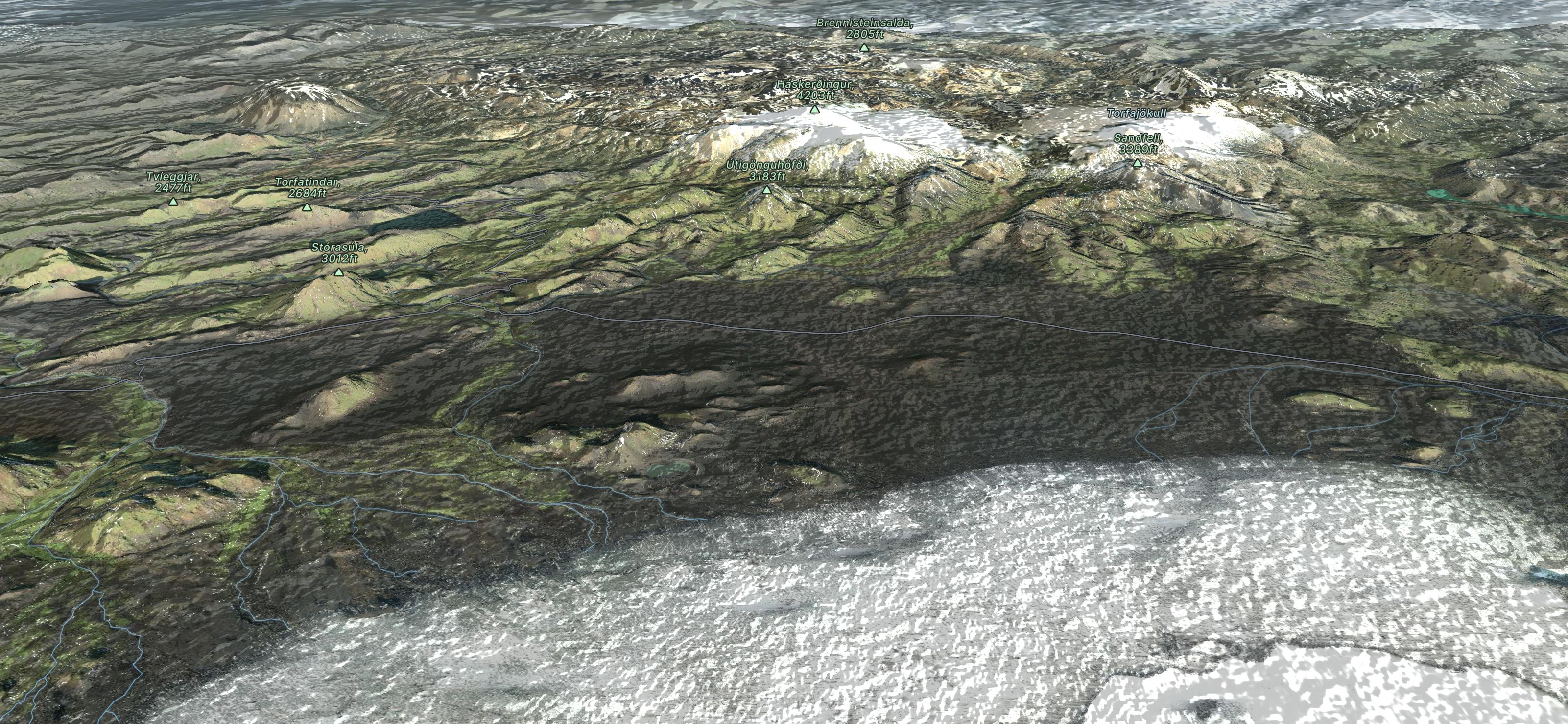
Explore Landmannalaugar with curated guides of the best routes. With over 8 3D trail maps in FATMAP, you can easily discover and navigate the best trails in Landmannalaugar.
No matter what your next adventure has in store, you can find a guide on FATMAP to help you plan your next epic trip.
Get a top trail recommendation in Landmannalaugar, or get inspired by the 8 local adventures uploaded by the FATMAP community. Start exploring now!
A wonderful and wild journey through the otherworldly terrain of southern Iceland.
Difficult Hiking

50 km version of the M'yrdalshlaup trail run.
Difficult Trail Running

Van Kerlingarfjöll naar Landmannalaugar
Moderate Hiking

A Trail Race through one of Iceland's most epic hiking routes 🤩
Difficult Trail Running

From Landmannalaugar to Þórsmörk in 3 days
Difficult Hiking
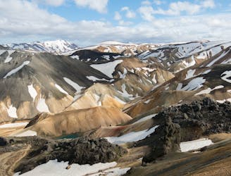
Iceland's Southern Highlands
Moderate Trail Running
Reykjavik to Vík í Mýrdal (Gullfoss Version)
Easy Driving 4x4

Náttúruhlaup í Þórsmörk
Difficult Trail Running