Sukh Sarai To Dhhakiar Sar

This Tedious Path Leads To Dhhakiar Sar Via Roopri Nallah
Difficult Alpine Climbing
- Distance
- 15 km
- Ascent
- 1.1 km
- Descent
- 230 m
Go Alpine Climbing in Jammu and Kashmir with curated guides of the best routes across the region. With over 60 3D trail maps in FATMAP, you can easily discover and navigate the best routes in Jammu and Kashmir.
No matter what your next adventure has in store, you can find a guide on FATMAP to help you plan your next epic trip.
Get a top Alpine Climbing recommendation in Jammu and Kashmir from one of our 1 guidebooks, or get inspired by the 60 local adventures uploaded by the FATMAP community. Start exploring now!
This Tedious Path Leads To Dhhakiar Sar Via Roopri Nallah
Difficult Alpine Climbing
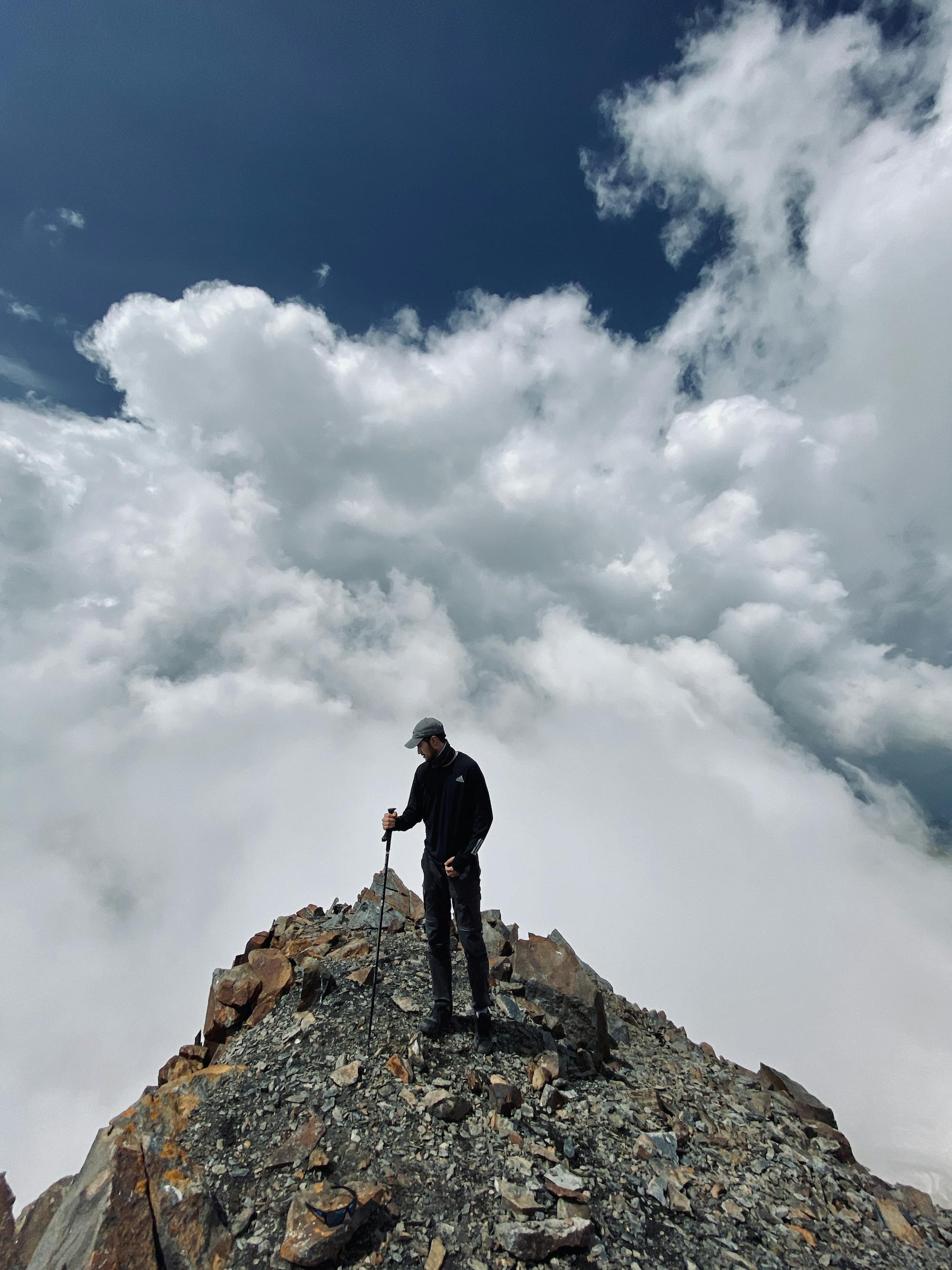
Trek to the highest peak of the Pir Panjal Range.(@7milesawayy)
Difficult Alpine Climbing

sunset peaks trial ascend via Yusmarg and descend via Mughal road.
Severe Alpine Climbing

sunset peaks descend trial via Mughal road.
Moderate Alpine Climbing

A Well Known One Day Trek
Difficult Alpine Climbing

A Well Known One Day Trek
Moderate Alpine Climbing

An Probably Unknown Yet To Be Explored Route (PIR PANJAL)
Difficult Alpine Climbing