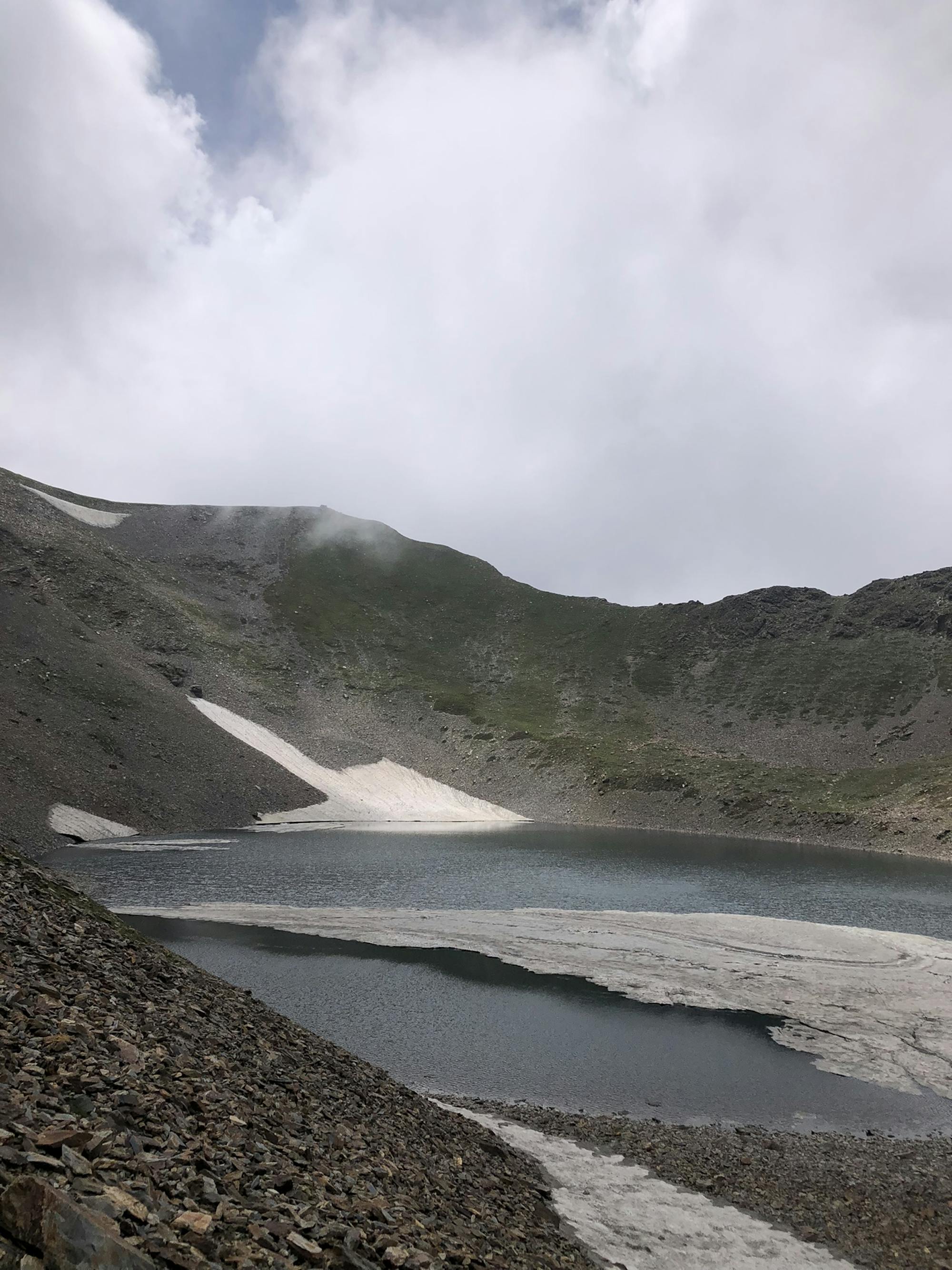
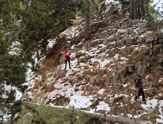
Loharkot II Winter Summit

First ever winter summit to Mt Loharkot II till date.
Extreme Hiking
- Distance
- 15 km
- Ascent
- 2.4 km
- Descent
- 2.4 km
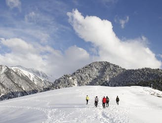
Go hiking in Jammu and Kashmir with curated guides of the best hikes across the region. With over 60 3D trail maps in FATMAP, you can easily discover and navigate the best trails in Jammu and Kashmir.
No matter what your next adventure has in store, you can find a guide on FATMAP to help you plan your next epic trip.
Get a top hiking trail recommendation in Jammu and Kashmir from one of our 1 guidebooks, or get inspired by the 60 local adventures uploaded by the FATMAP community. Start exploring now!
First ever winter summit to Mt Loharkot II till date.
Extreme Hiking
Panoramic vistas of lush meadow.
Moderate Hiking
Takht e Sulaiman on Zabarwan range
Easy Hiking

Trek to Sarbal Sar via Kadura
Difficult Hiking
Embark on an easy hike with caution due to bear presence.
Easy Hiking
Embark on a moderate hike revealing the entire Pirpanjal range, featuring peaks like Mt Mahadev and Mt Harmukh, with a remarkable 180-degree vista encompassing both Srinagar and Kangan.
Moderate Hiking

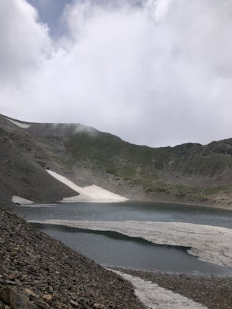
Sirbal Lakes Zojila mountain range
Moderate Hiking
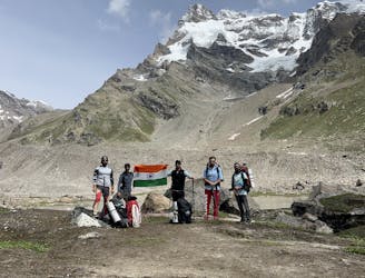
We walked a total of 97 kms reaching hagsu nalah and back to road head, sighted some magnificent six thousanders like Mount Hagsu, Mount Chiring, Mount Agyasol, Mount Kishtwar Shivling and many more, crossed many streams, glaciers, and moraines
Difficult Hiking
1 routes · Hiking