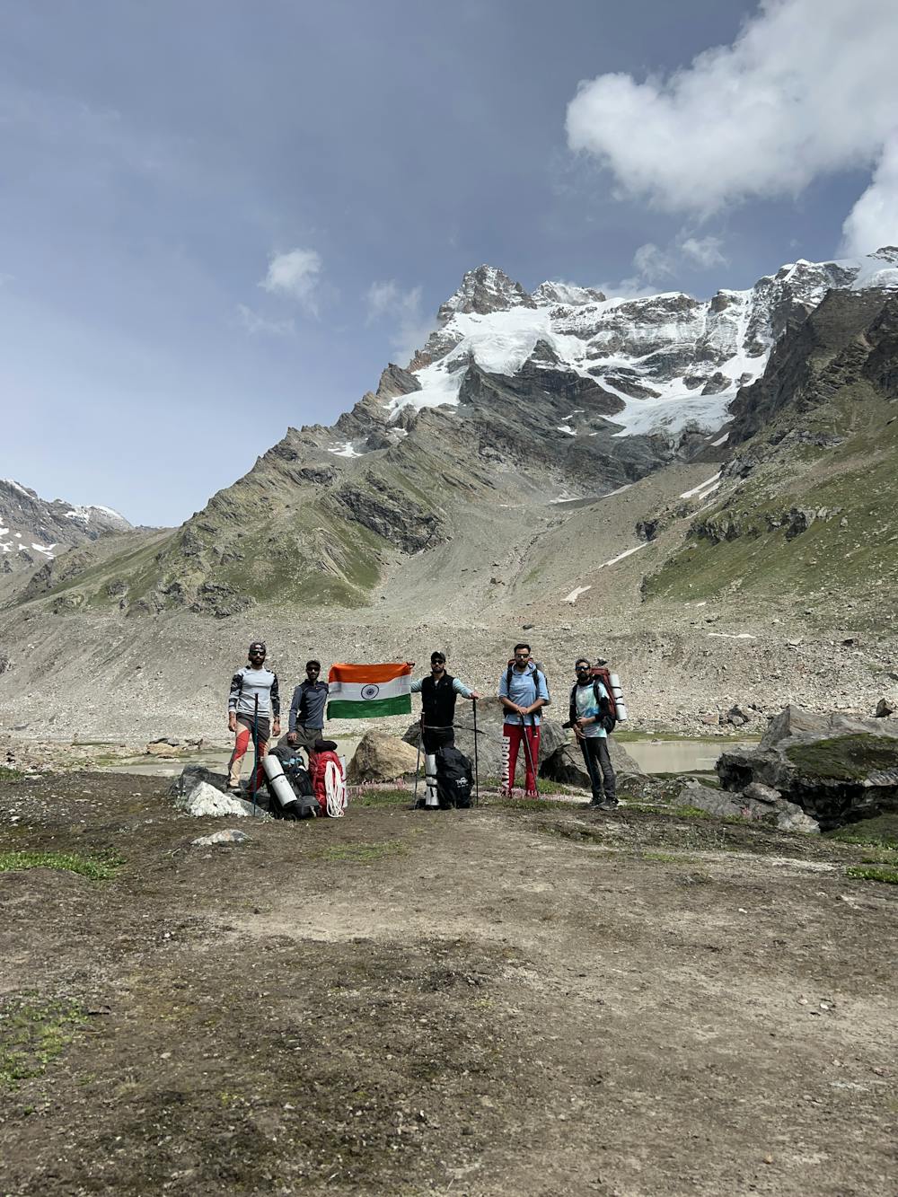
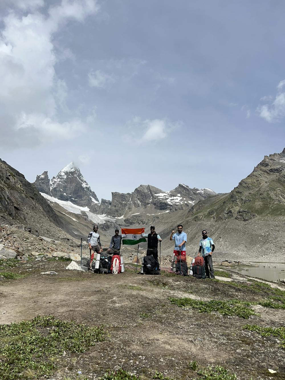
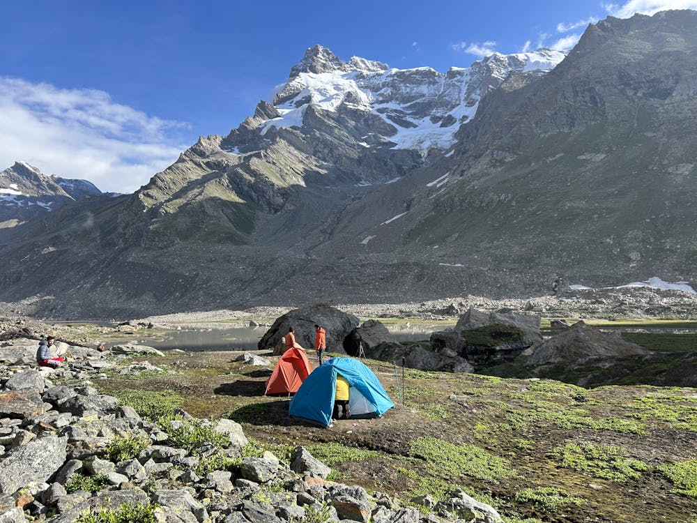
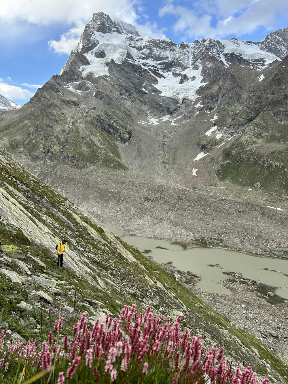
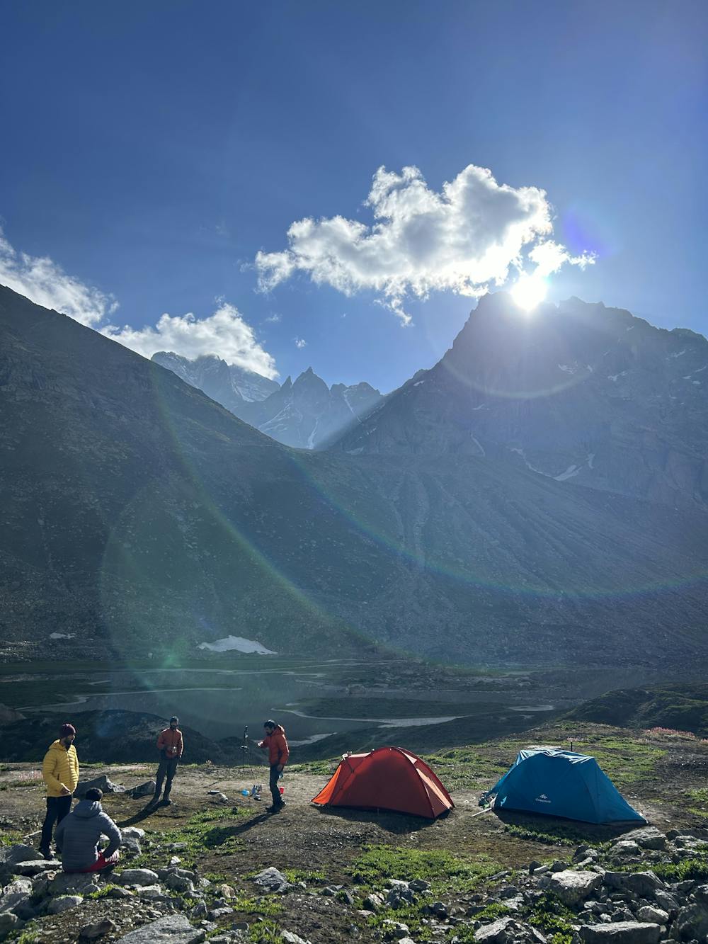
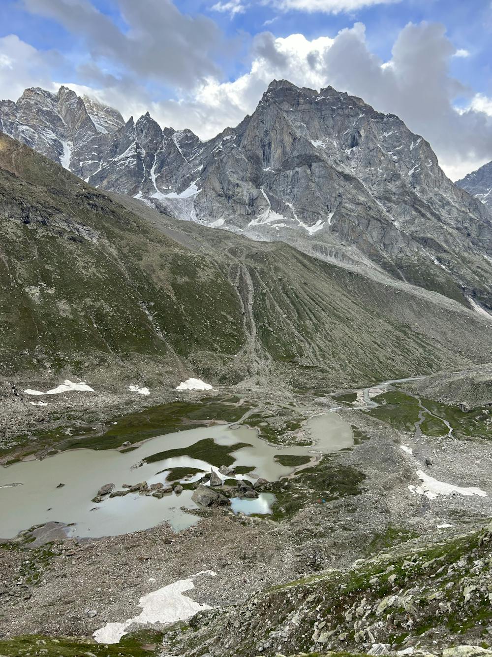
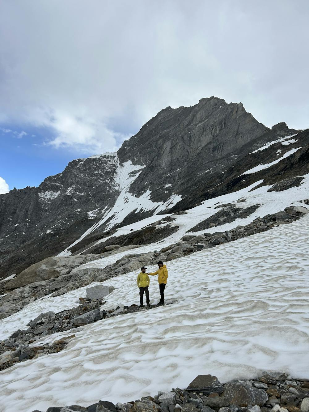
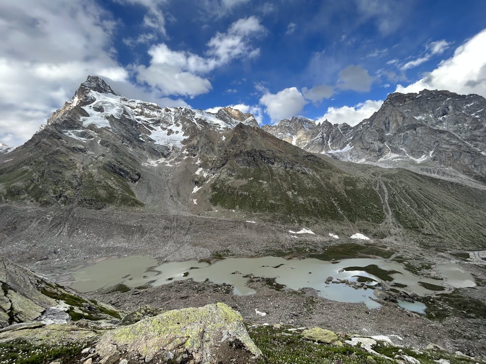
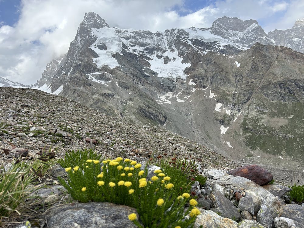
Hagshu Valley
We walked a total of 97 kms reaching hagsu nalah and back to road head, sighted some magnificent six thousanders like Mount Hagsu, Mount Chiring, Mount Agyasol, Mount Kishtwar Shivling and many more, crossed many streams, glaciers, and moraines
Hiking Difficult
- Distance
- 95 km
- Ascent
- 3.6 km
- Descent
- 3.7 km
- Duration
- 1 day +
- Low Point
- 2.2 km
- High Point
- 4.7 km
- Gradient
- 19˚
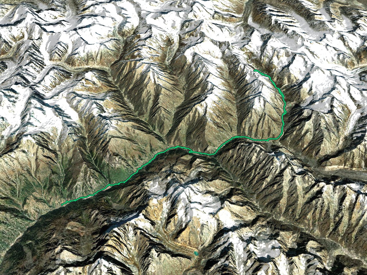
This is a popular hiking route which is generally considered to be difficult. It's very remote, it features medium exposure and is typically done between May and September. From a low point of 2.2 km to the maximum altitude of 4.7 km, the route covers 95 km, 3596 vertical metres of ascent and 3683 vertical metres of descent.
- •
- •
- •
- •
- •
- •
- •
- •
- •
Description
We walked a total of 97 kms reaching hagsu nalah and back to road head, sighted some magnificent six thousanders like Mount Hagsu, Mount Chiring, Mount Agyasol, Mount Kishtwar Shivling and many more, crossed many streams, glaciers, and moraines
Difficulty
Difficult
Hiking trails where obstacles such as rocks or roots are prevalent. Some obstacles can require care to step over or around. At times, the trail can be worn and eroded. The grade of the trail is generally quite steep, and can often lead to strenuous hiking.
Medium Exposure

The trail contains some obstacles such as outcroppings and rock which could cause injury.
Remoteness

Little chance of being seen or helped in case of an accident.
Best time to visit
Features
- Alpine
- Wildlife
- Picturesque
- Wild flowers
- Water features