Takht e Sulaiman 360°
Embark on an easy hike with caution due to bear presence.
Hiking Easy
- Distance
- 7.3 km
- Ascent
- 549 m
- Descent
- 533 m
- Duration
- 2-3 hrs
- Low Point
- 1.6 km
- High Point
- 1.8 km
- Gradient
- 16˚

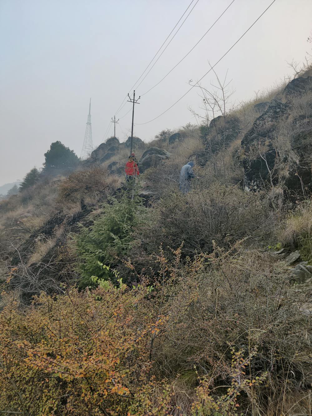
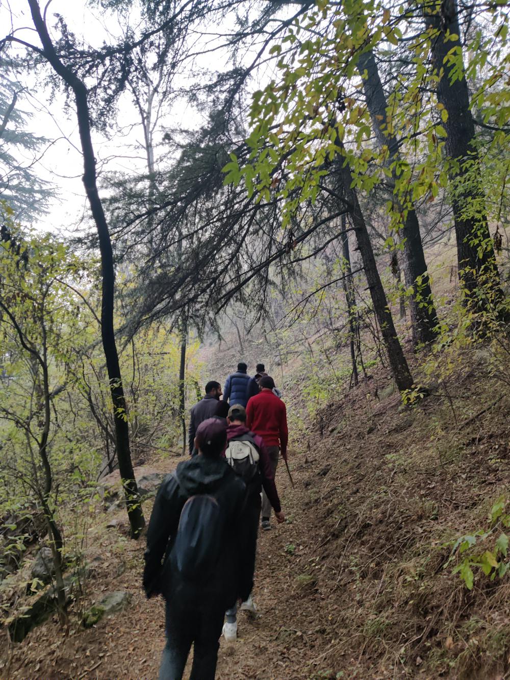
Embark on an easy hike with caution due to bear presence, suitable for groups of three to four individuals. The trail offers bird's-eye views of Sonawar, Dalgate, Dal Lake, and Hariparbat Fort. Enjoy the refreshing experience of walking through pine tree-covered paths, adorned with huts and iron chairs for relaxation. Stay alert and appreciate the scenic beauty of this HIKE, but be mindful of the wildlife in the area.
- •
- •
Difficulty
Easy
Walking along a well-kept trail that’s mostly flat. No obstacles are present.
Low Exposure

The path is on completely flat land and potential injury is limited to falling over.
Remoteness
Close to help in case of emergency.
Best time to visit
Features
- Alpine
- Wildlife
- Historical
- Picturesque
- Dog friendly
- Wild flowers
- Family friendly