1.9 km away
Mamneth Meadow
Panoramic vistas of lush meadow.
Moderate Hiking
- Distance
- 3.8 km
- Ascent
- 574 m
- Descent
- 576 m
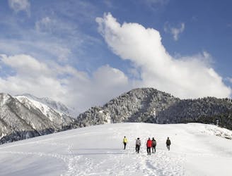
Embark on a moderate hike revealing the entire Pirpanjal range, featuring peaks like Mt Mahadev and Mt Harmukh, with a remarkable 180-degree vista encompassing both Srinagar and Kangan.
Hiking Moderate

Moderate Hike Overview: Embark on a moderate trek that provides stunning panoramic views of the Pirpanjal mountain range. This trek offers a clear sight of prominent peaks such as Mt Mahadev, Mt Kotwal, Mt Loharkot, and Mt Harmukh. The highlight is the exceptional 180-degree view encompassing both the Srinagar and Kangan sides. Ideal for those seeking a balanced challenge with breathtaking scenery, this trek promises an immersive experience amidst the natural beauty of the region.
Moderate
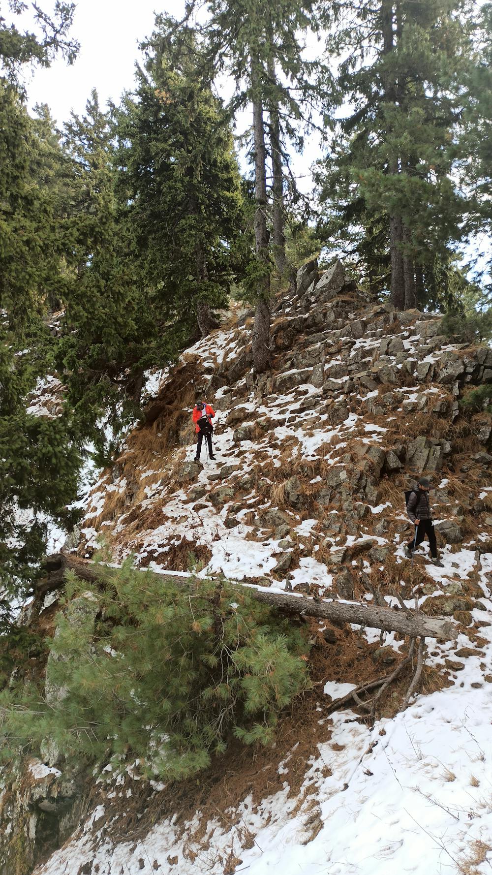
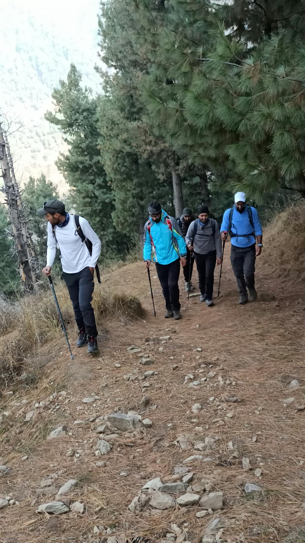
Hiking along trails with some uneven terrain and small hills. Small rocks and roots may be present.

The trail contains some obstacles such as outcroppings and rock which could cause injury.

Close to help in case of emergency.
1.9 km away
Panoramic vistas of lush meadow.
Moderate Hiking